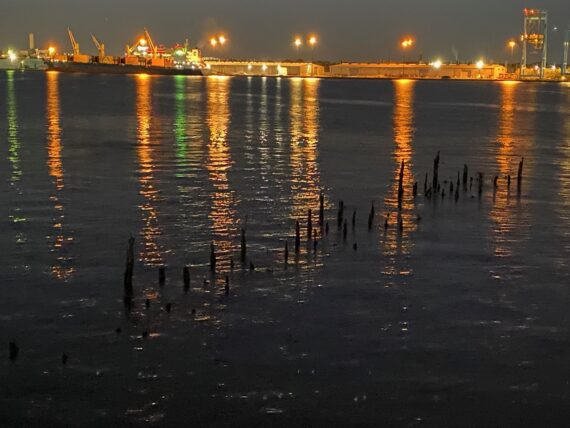
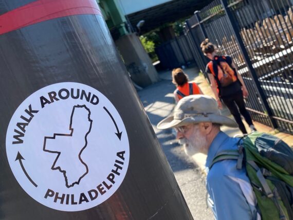
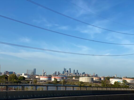
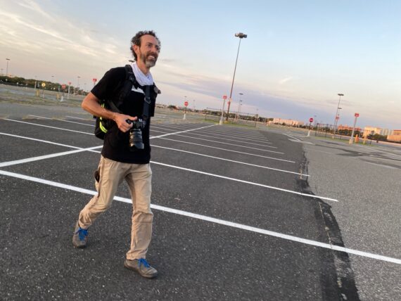
Segment 6:
Torresdale towards Bridesburg
We started off this weekend’s iteration of Walk Around Philadelphia having already walked halfway ’round the city, from 61st & Baltimore up Cobbs Creek, along City Ave, up the Schuylkill and around Chestnut Hill all the way to Fox Chase (recap of first 3 days) and then all the way around the Northeast (recap of 2nd weekend)…
Now it was time to set out along the Delaware River border, all the way from Torresdale to PHL International Airport.
We’d do this over the course of 3 spectacular days…
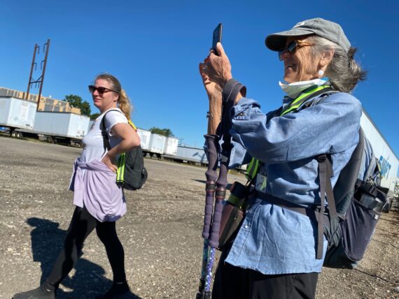
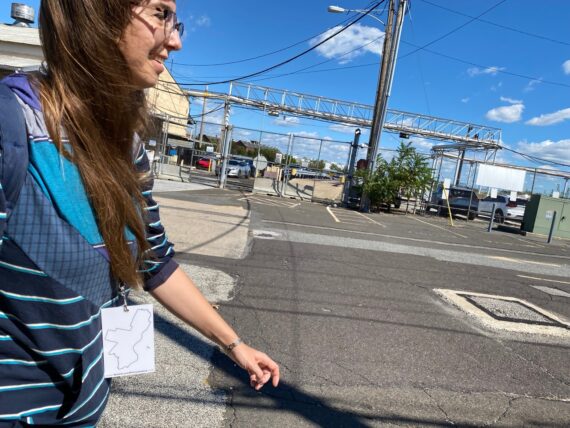
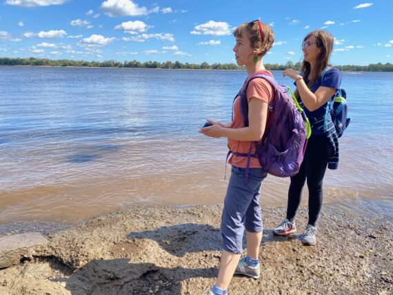
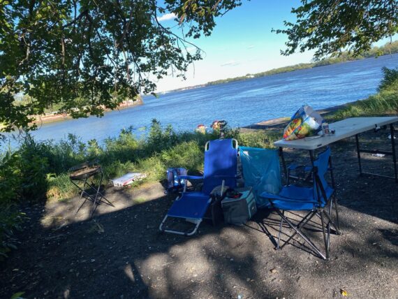
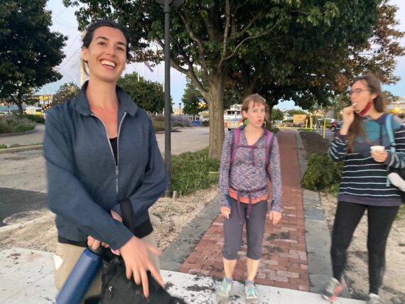
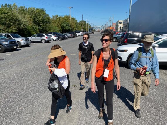
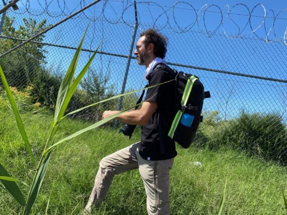
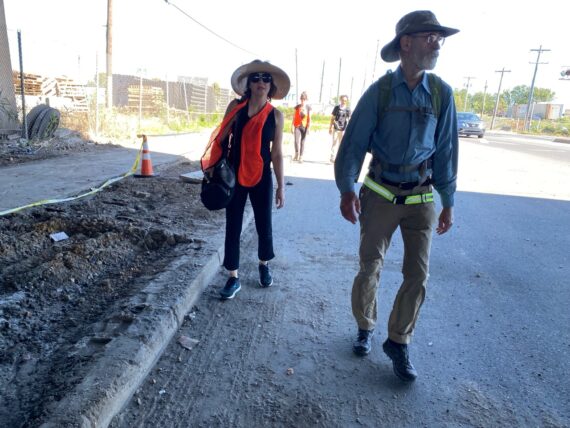
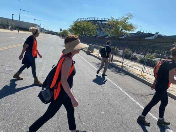
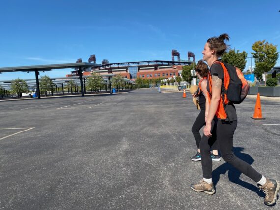
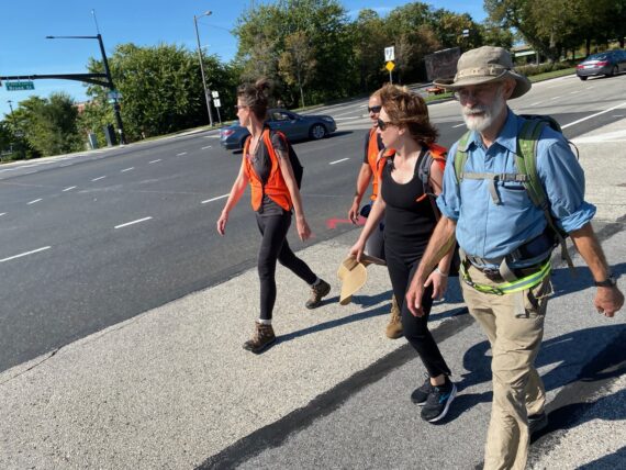
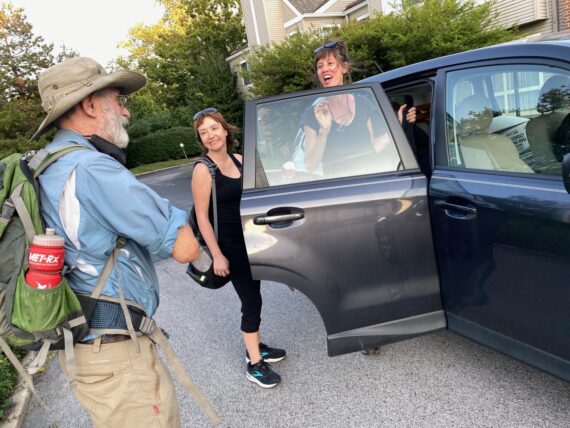
Saturday morning started off catching a ride with a neighbor to the morning’s start point.
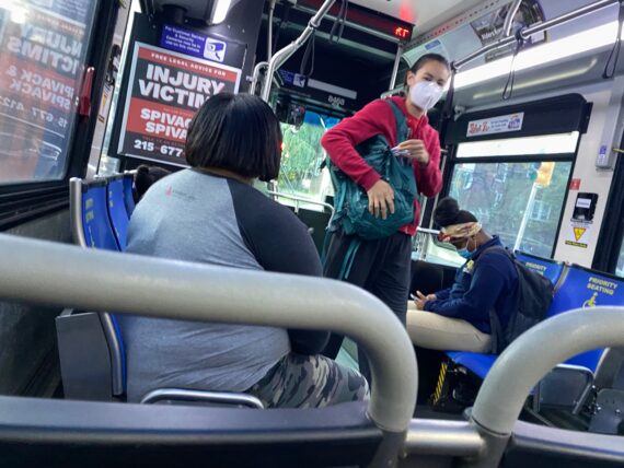
While I generally encourage taking public transit in between walk segments…
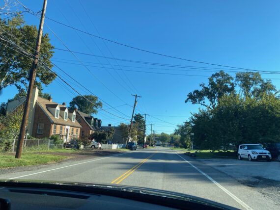
… the drive in allowed us to see some neighborhoods near Torresdale that I wasn’t familiar with. It turned out that our chauffeur (a fellow walker’s partner) had grown up in this area, and was able to recount a bit of neighborhood history along the way.
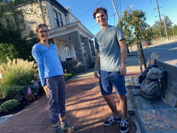
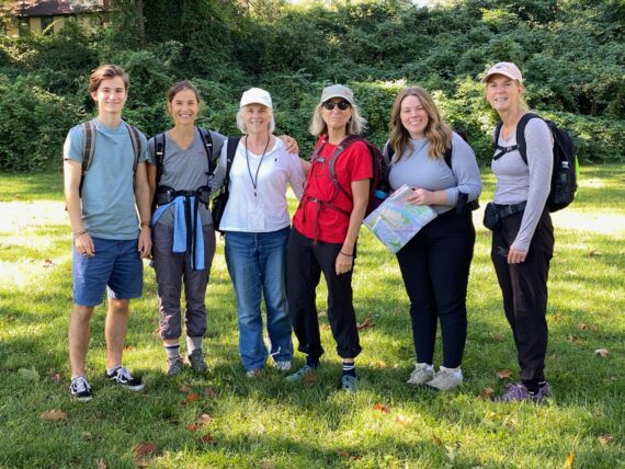
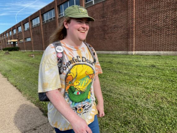
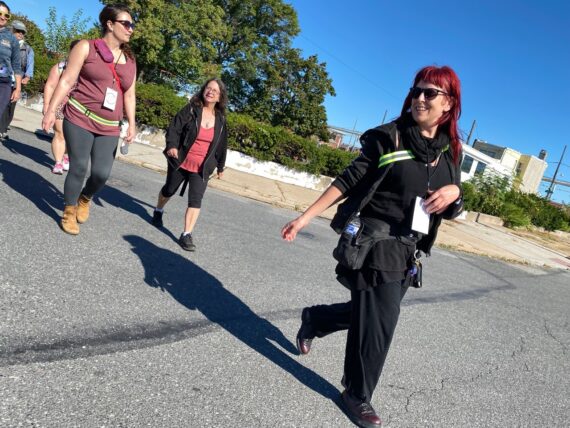
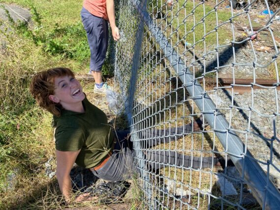
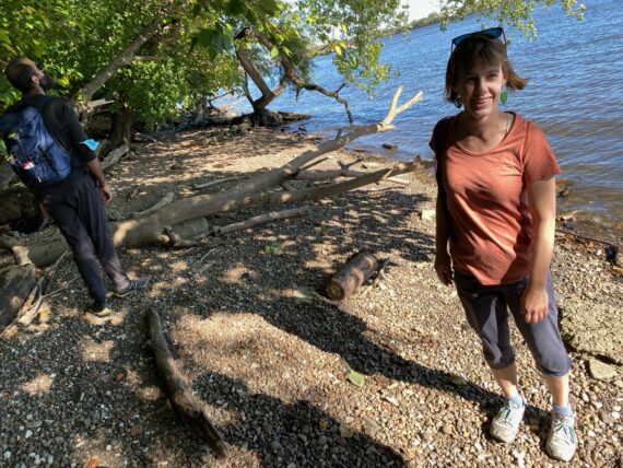
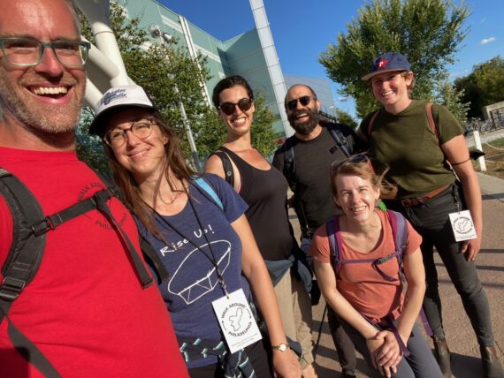
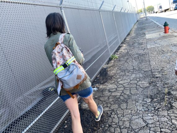
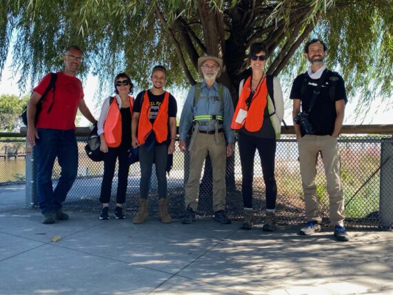
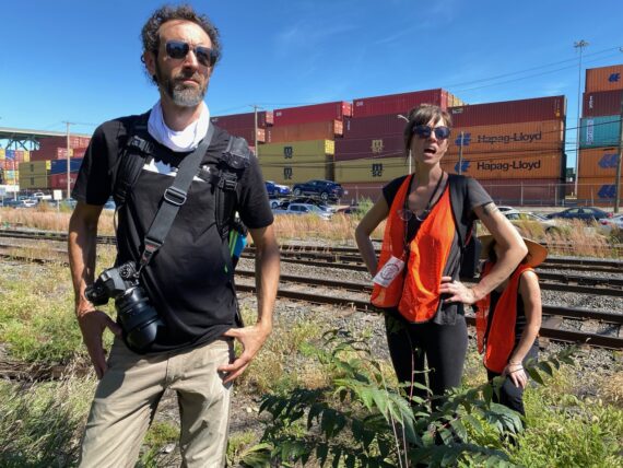
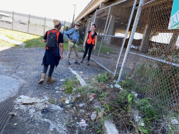
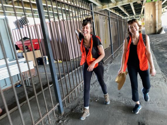
Veteran perimeter-walker Delphine had invited her son Thomas along this time…
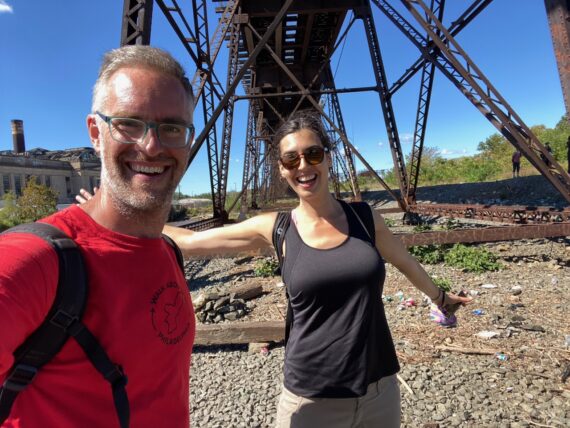
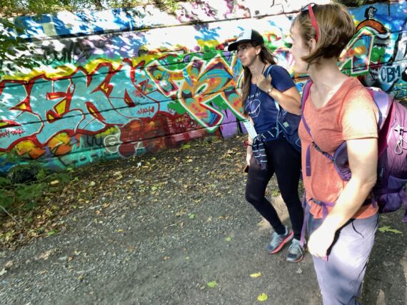
… and we were also joined by Ann de Forest – she’s the writer that I was paired with in the 2016 artist residency that led to the first Walk Around Philadelphia, and she’d also walked the entire thing with me again for the 5th walk in February 2020, so she’s well familiar with the terrain.
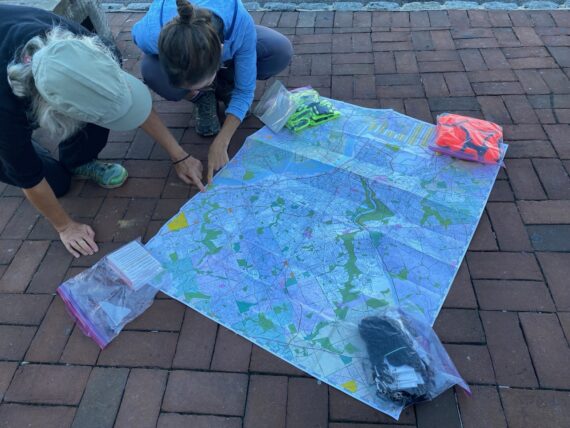
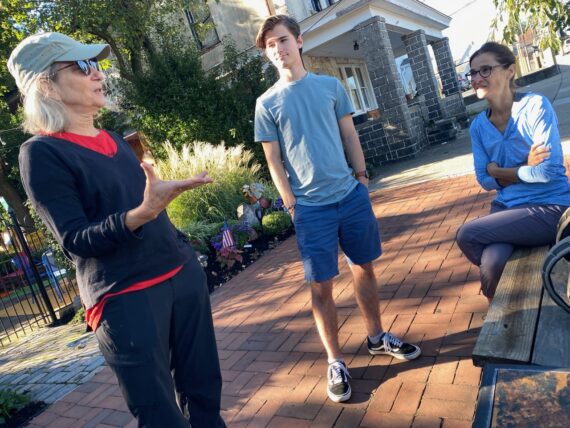
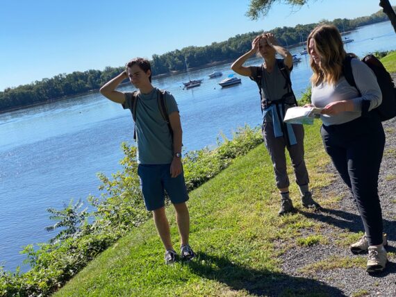
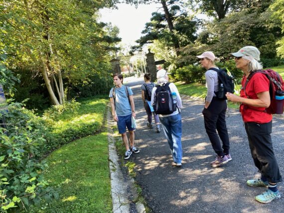
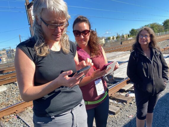
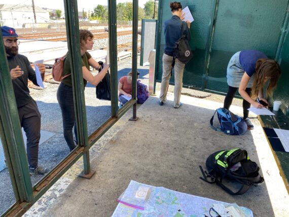
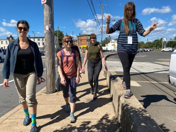
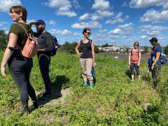
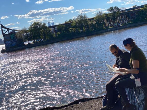
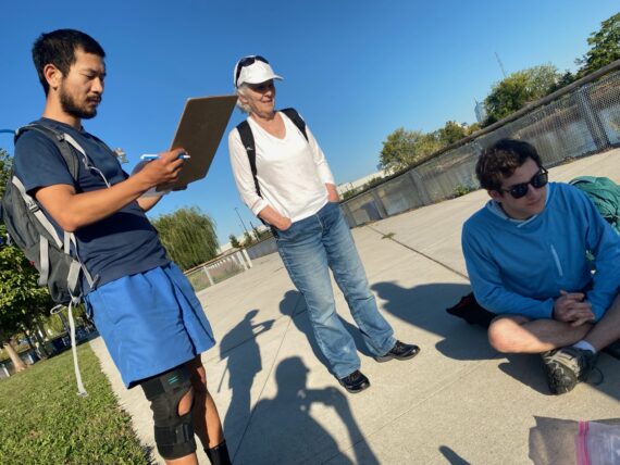
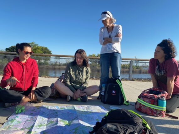
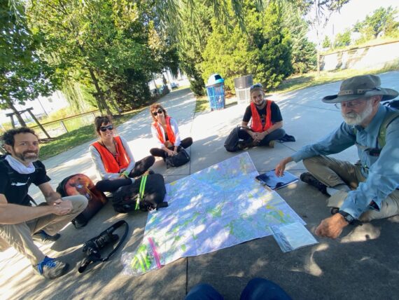
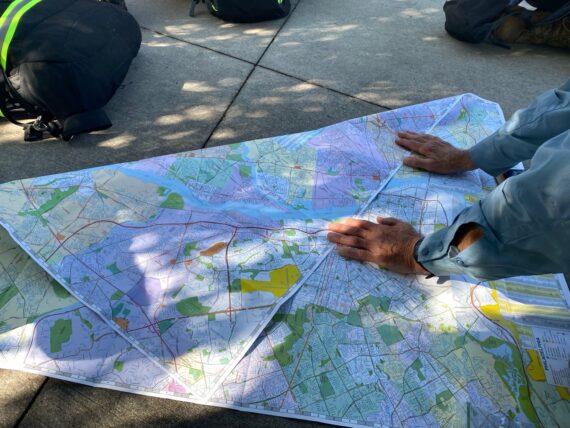
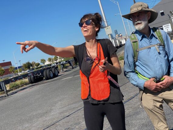
We started reviewing the map…
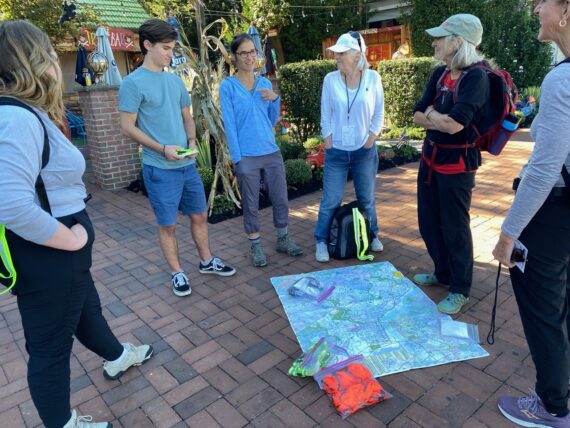
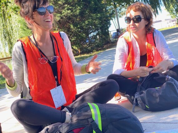
… and had a good intro check-in that covered a range of topics from our preferred walking styles (Delphine is a fast walker, and enjoys a bit of silence here and there) to questions of privilege & accessibility (noticing that once again the group of participants isn’t very representative of the city’s demographics…)
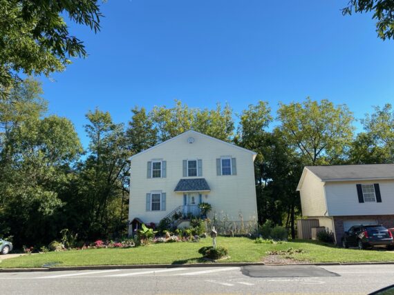
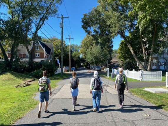
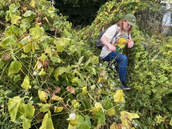
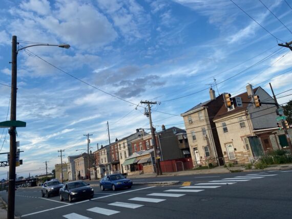
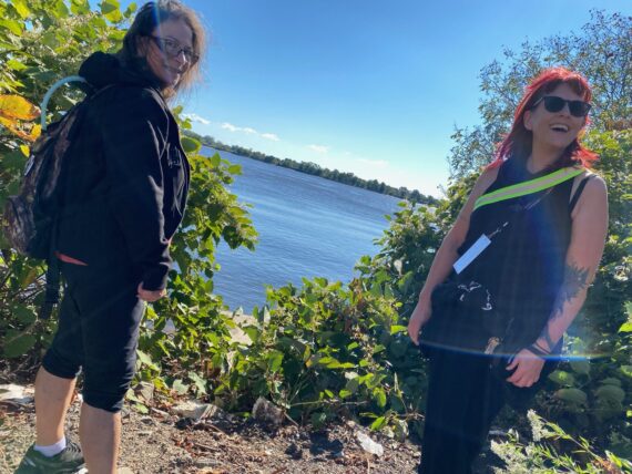
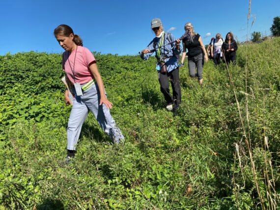
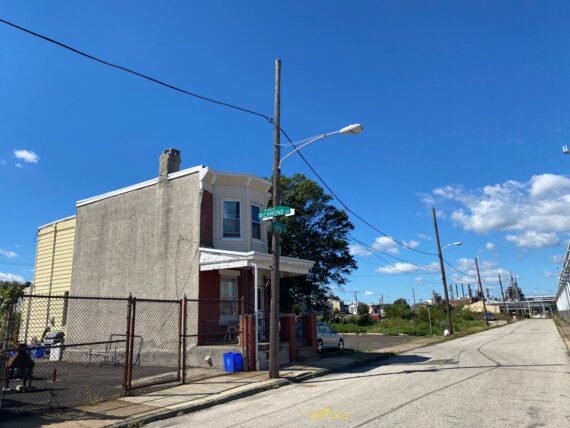
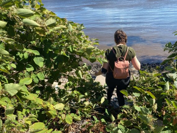
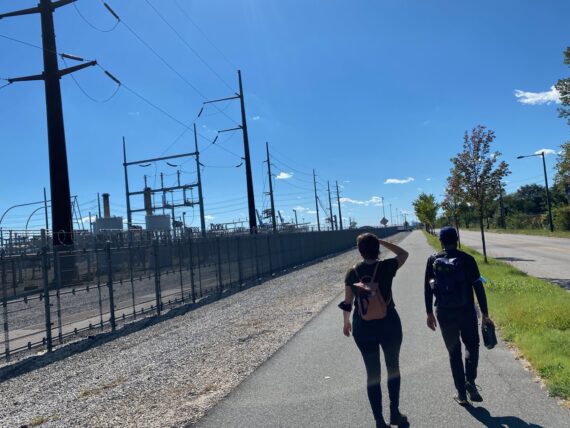
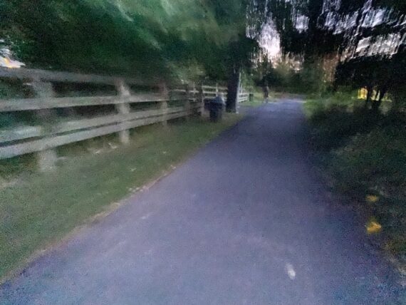
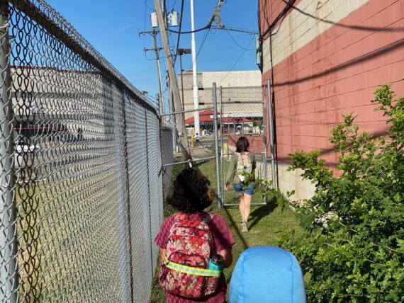
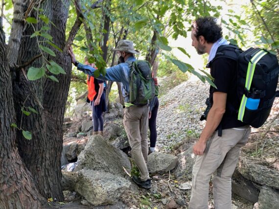
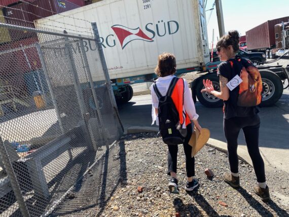
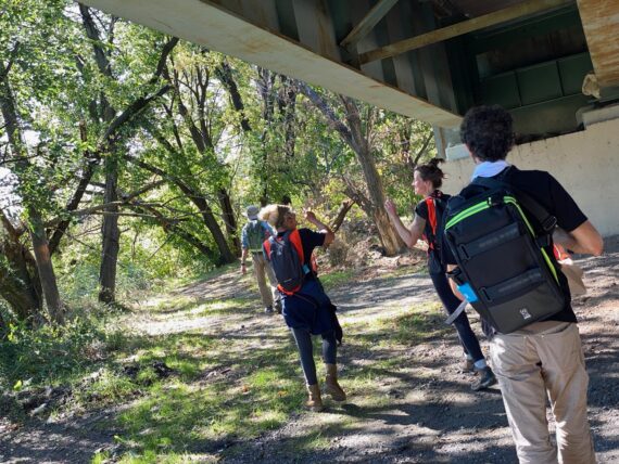
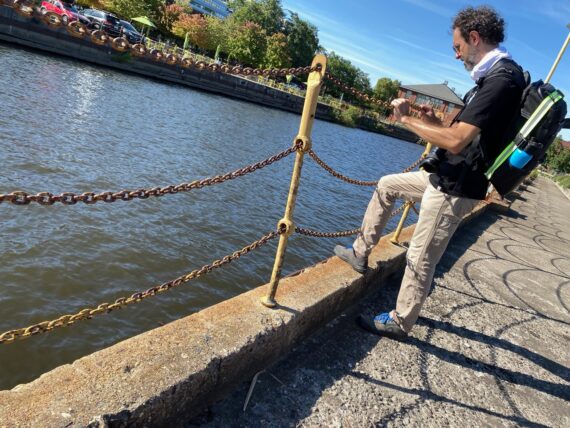
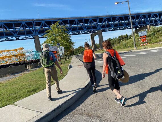
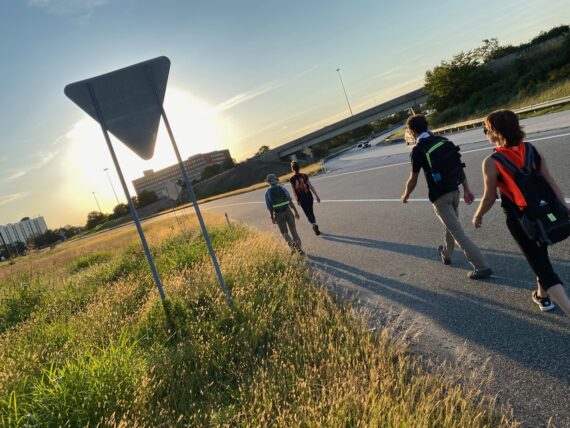
And so we set off towards the river, passing by these houses that are some of the last ones in Philadelphia…
(the Poquessing Creek is directly behind them, separating them from Bensalem, PA)
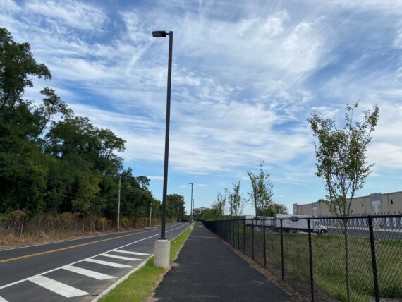
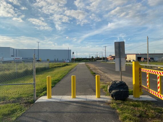
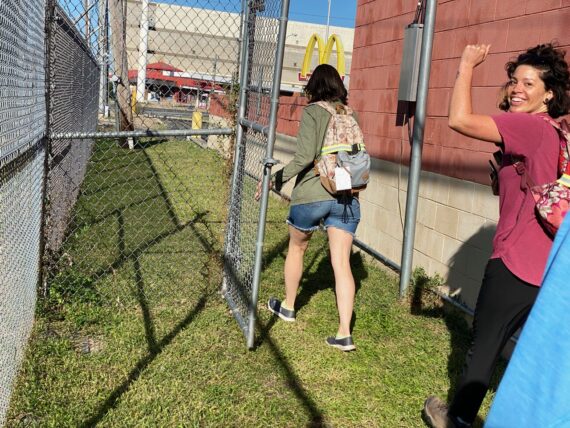
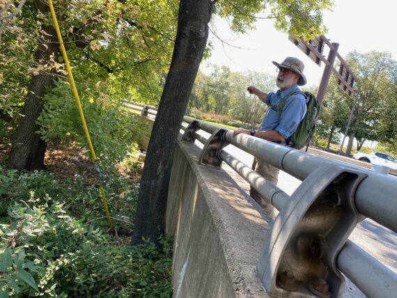
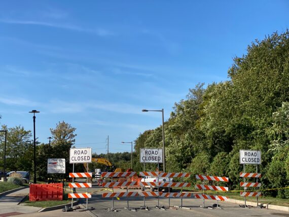
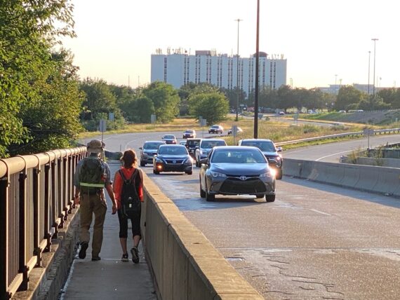
Here we encountered State Rd for the first time… the map made it clear that we might find ourselves walking along it or coming back to it several times during our day, as it’s the main arterial route that follows the river…
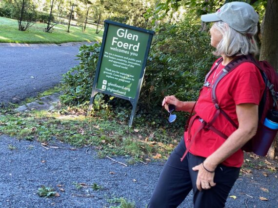
… but here we crossed it and continued east, venturing our way into the grounds of Glen Foerd on the Delaware
(where Karen & I had already taken a little preview tour at the end of last weekend’s walk around the Northeast)
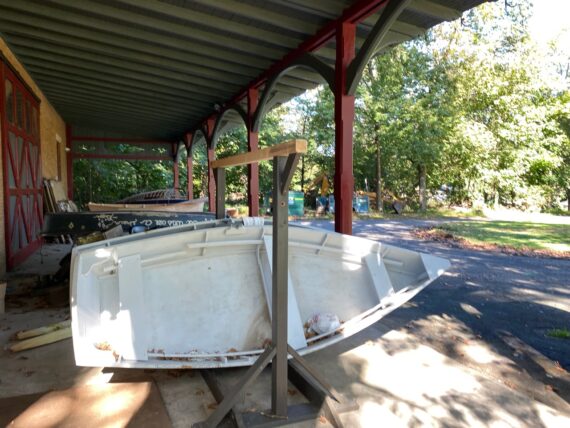
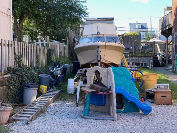
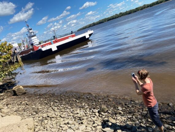
We encountered some boats here and I remembered hearing about some public boating initiatives here…
(Glen Foerd’s grounds are open to the public during the day, and they also host some other cool public programs.)
This relatively new sidewalk area seems to be where a dock gets installed for boating, although it wasn’t there at this moment…
(The experience of the perimeter changes day by day and hour by hour – I can imagine walking by some other summer weekend and finding a bunch of folks in kayaks here…)
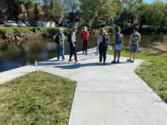
And so we continued on…
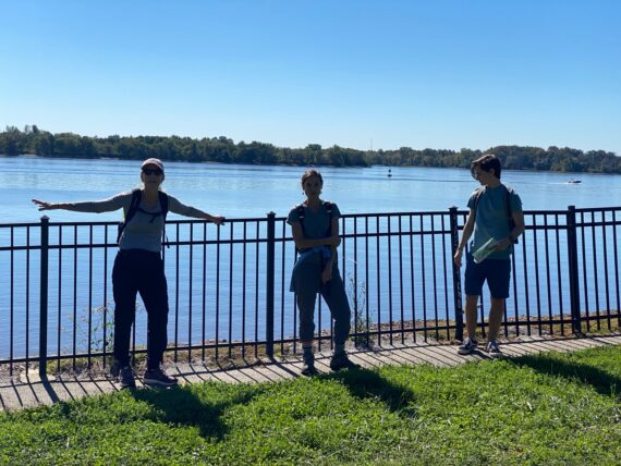
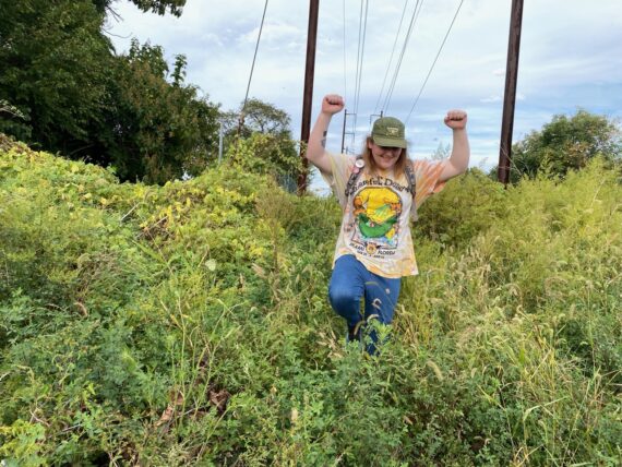
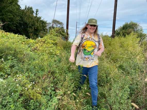
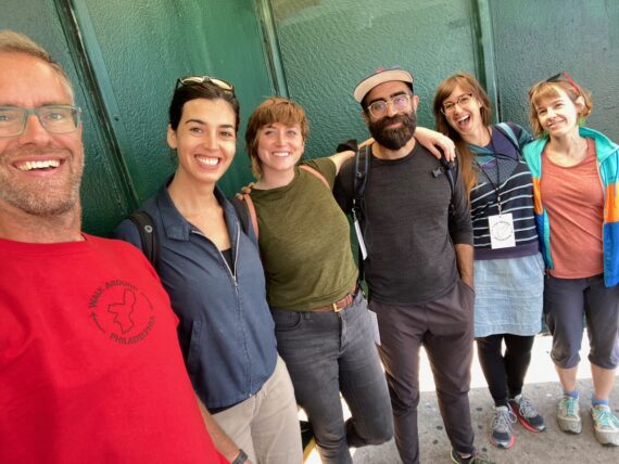
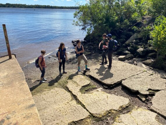
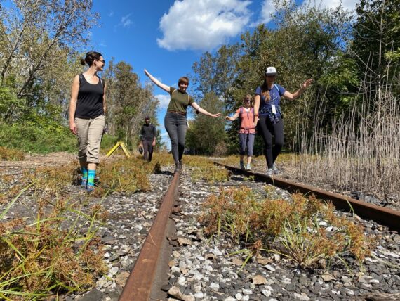
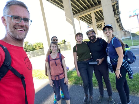
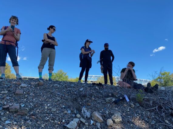
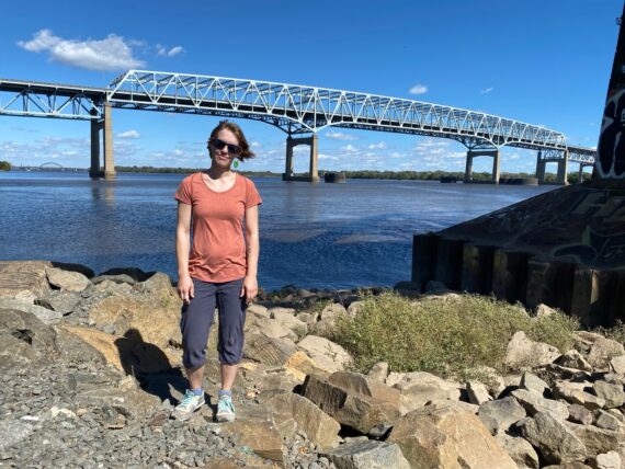
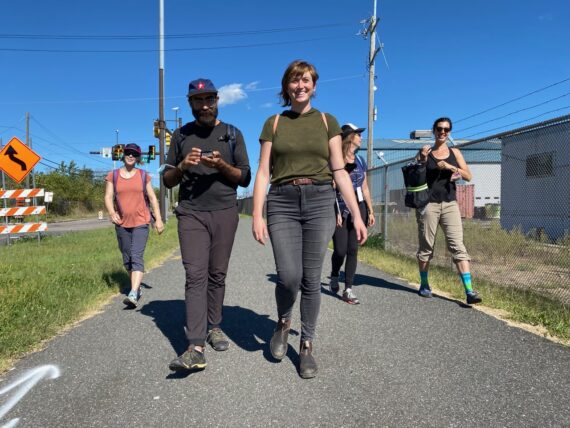
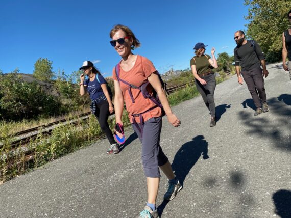
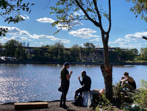
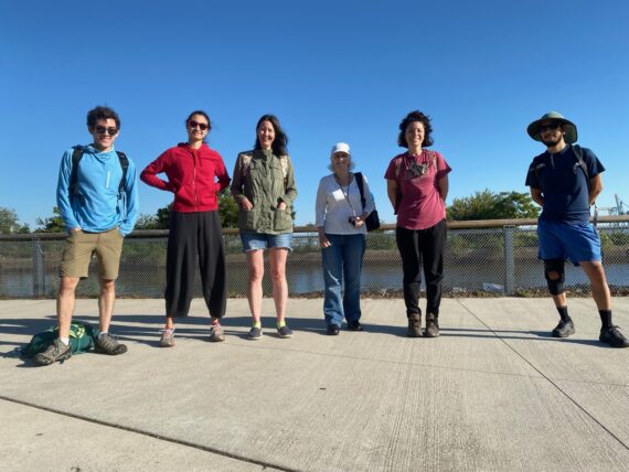
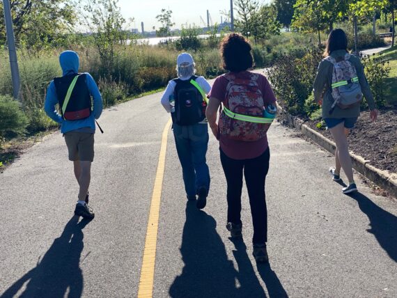
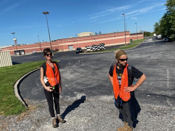
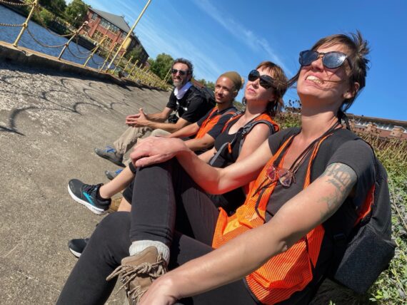
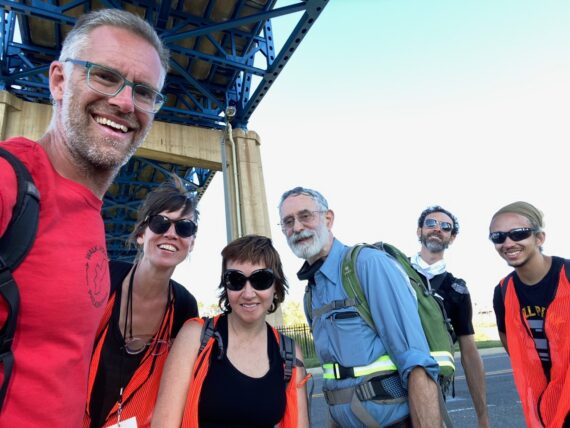
… pausing to take a picture of our first group.
(Since I’d scheduled two start times for each segment for this iteration of the walk, I’d be doubling back to the start point soon enough to rendezvous with the second group.)
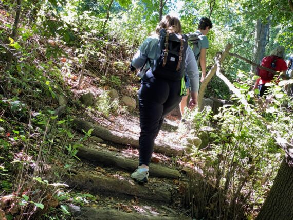
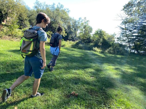
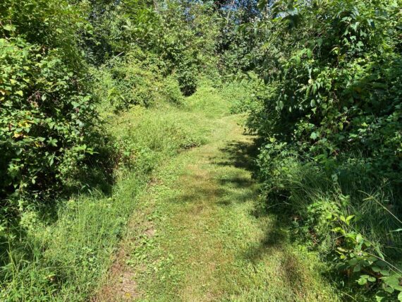
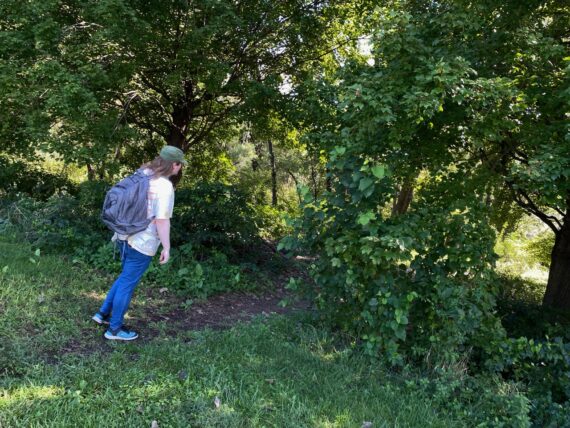
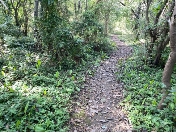
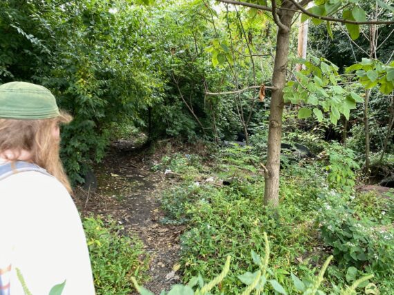
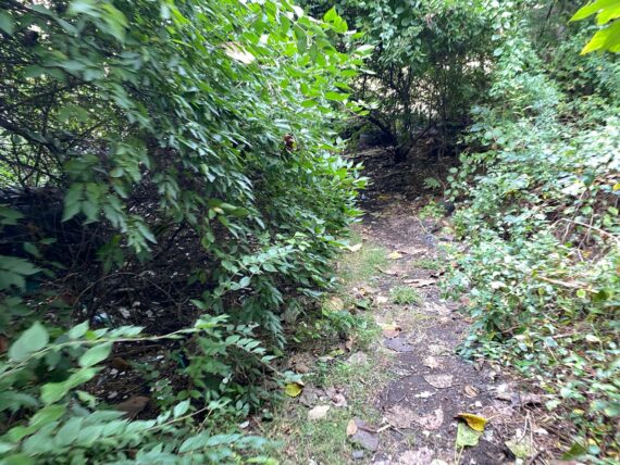
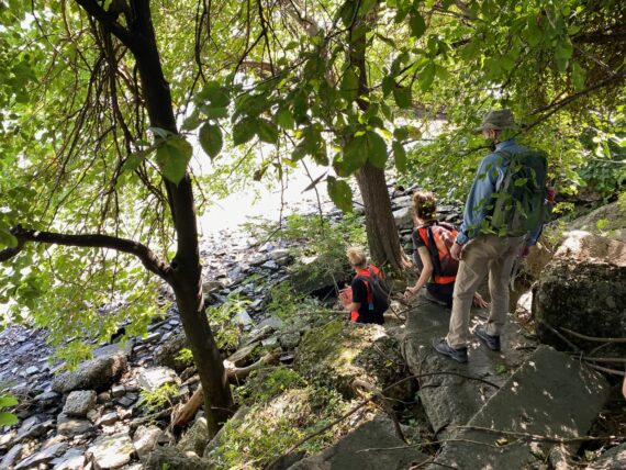
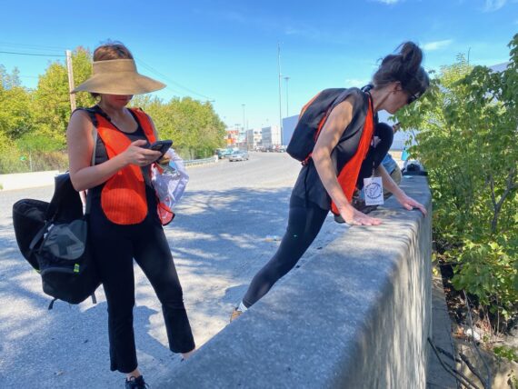
Following a little trail through a wooded area…
… we saw signs of other walk participants who’d set out ahead of us.
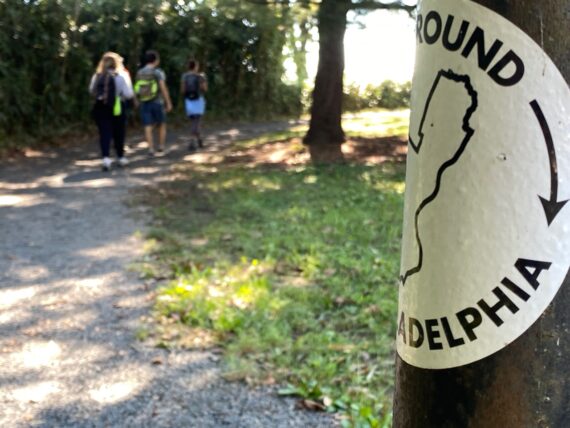
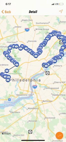
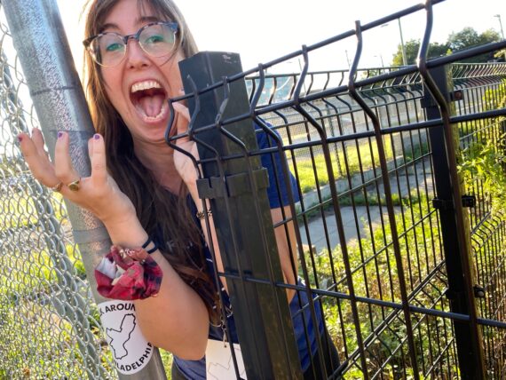
(The right side of the sticker represents our route this weekend, from that corner in the Northeast where the Poquessing Creek flows into the Delaware River, all the way down that eastern curving border.)
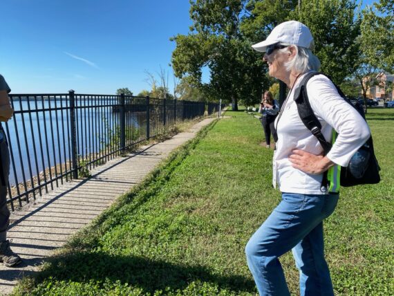
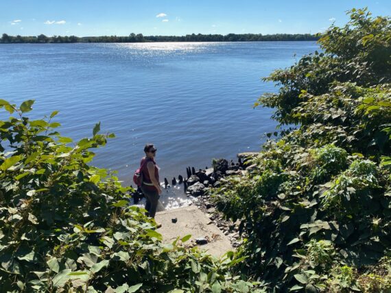
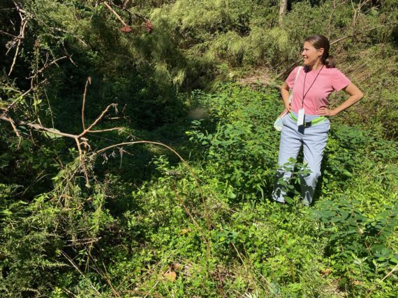
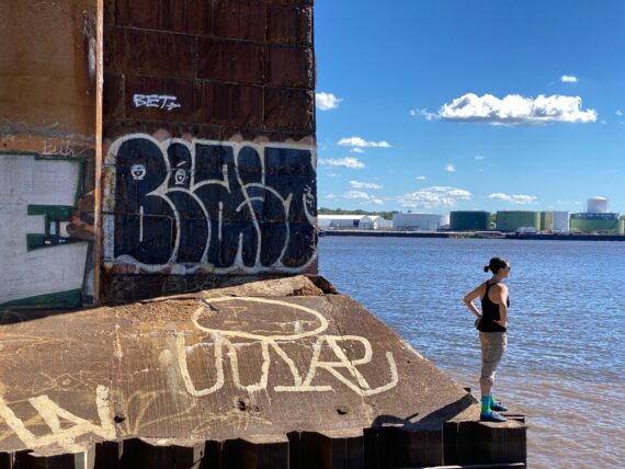
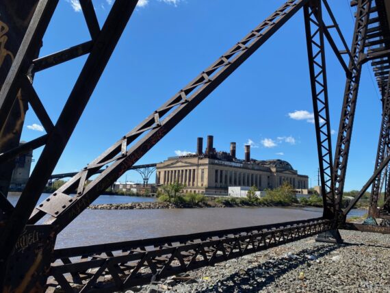
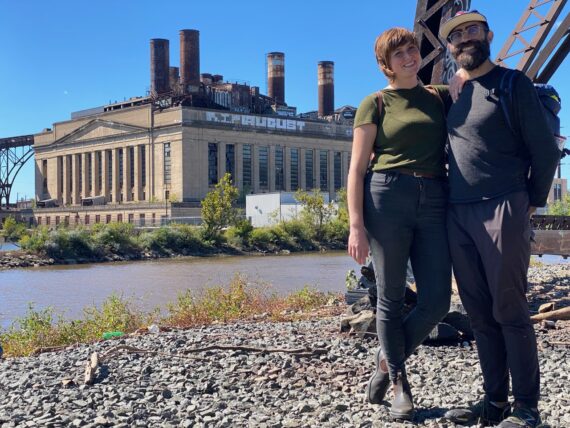
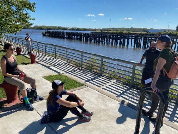
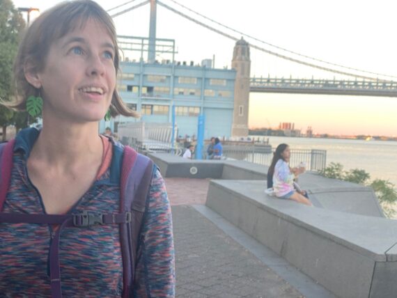
We paused to take in the view at Glen Foerd – the one corner on the perimeter created by two water borders.
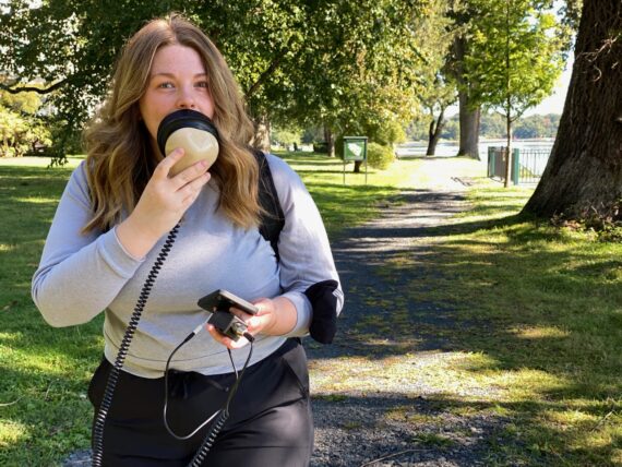
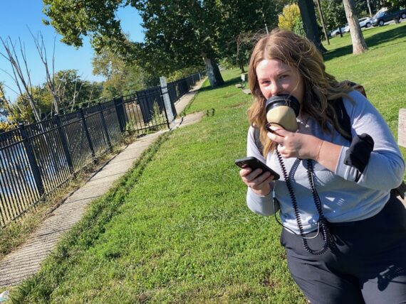
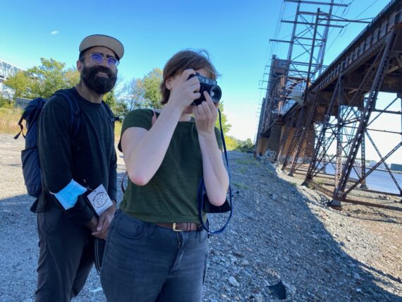
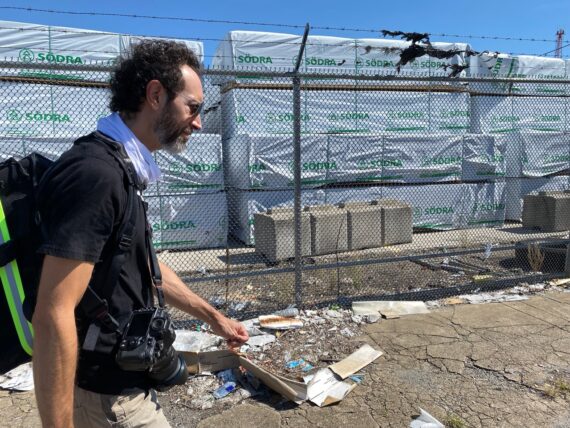
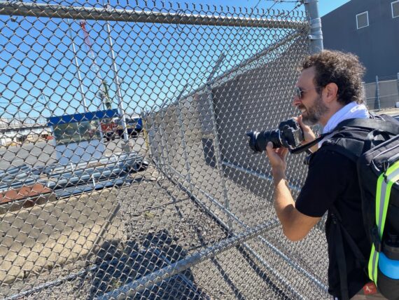
Nicole had brought along her stenographer microphone to do a few field recordings from the perimeter – she works as an audio describer, helping to make cultural experiences accessible to folks who are blind or have low vision.
(If you’re interested in helping support my efforts to make the experiences of Walk Around Philadelphia more accessible to all, here’s another plug for you to consider becoming a backer of my work if you haven’t yet. I’d be most grateful to have you on my team.)
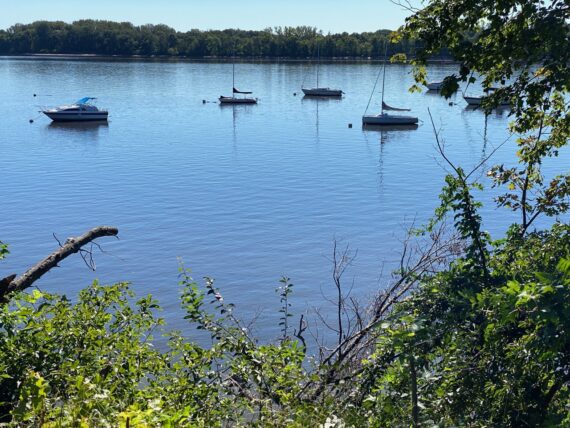
There’s clearly a boating community here…
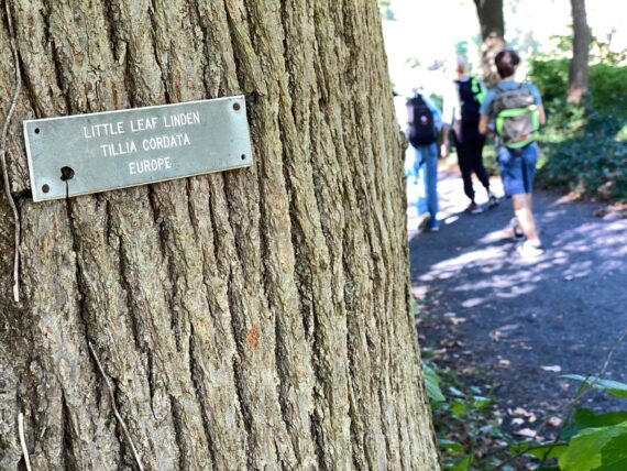
…and some great trees on Glen Foerd’s 18 acres…
… but we’ve looped around the edge of the property and are already nearing the exit…
(“Exit” is a bit arbitrary here – if we were walking the perimeter counter-clockwise, this gate would be our entrance.)
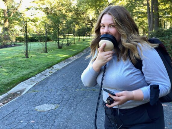
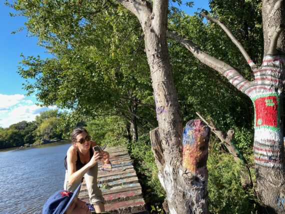
One more snapshot of Nicole as she records descriptions of the area…
… and one last glimpse at a historical marker…
… before we’re out of Glen Foerd and into a little residential neighborhood…
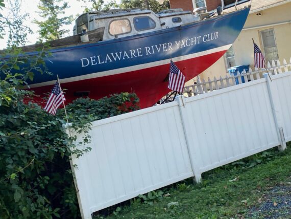
… by the Delaware River Yacht Club.
There’s only a little stretch of road by the river here before we’re forced to zig back towards State Road for a few blocks…
… before zagging back towards the river along Arendell Ave…
(Note: I’ll sometimes reference specific street names for folks who are interested in looking at maps, but it’s important to remember that there’s no fixed route to Walk Around Philadelphia.
Rather than turn-by-turn directions, I offer some guiding principles, and part of the experience is about navigation & wayfinding; each group will make choices to follow the path that best suits their needs and inclinations, and each experience of the perimeter is different.)
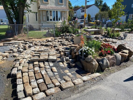
… where someone’s been working on some landscaping.
After finding our way back to the Delaware, it’s time for me to double back to meet Group 2…
… but the first group has plenty of experience as they head out – Mimi’s walked so many of the segments of this iteration that she’s now already a veteran perimeter walker too!
As I head back towards the Torresdale regional rail stop, I have the interesting experience of being able to listen in on the group’s progress, as I’d purchased a day-pass for Livevoice.io which allows Nicole to webcast her audio description on the fly while also creating recordings that I’ll be able to use in sharing the experience of the walk with others…
Doubling back and walking the other way allows for a different perspective on the ground that we’d just covered… I’d missed this cute little yellow car as we walked down State Road, but it jumped out at me on the way back.
Other observations are really all in the timing… like this group in matching T-shirts running by. Turns out it was the Torresdale Beer Runners…
(Speaking of matching T-shirts – if you’d like a stylish red Walk Around Philadelphia T-shirt, drop me a line w/ your desired size. They’re $35 if picked up in W. Philly, or an additional $5 shipped anywhere in the continental US. Proceeds help support further development of accessibility initiatives for the walk.)
Coming back to the Three Monkeys Cafe by the Torresdale rail station, it’s now fully into brunch time and the outdoor patio is filled with diners. When we were gathering with the first group, they weren’t even open yet. Again, the experiences shift with the timing.
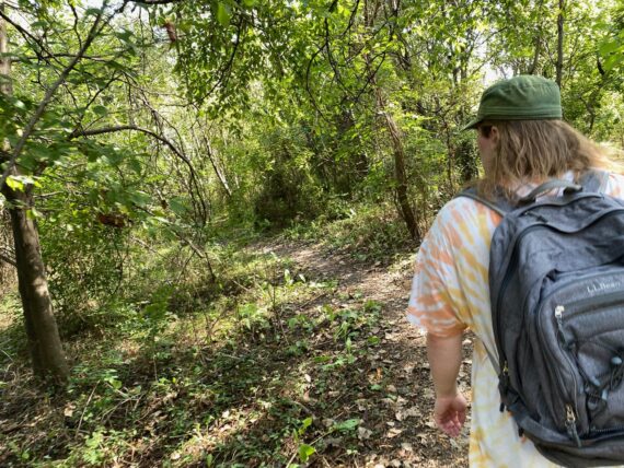
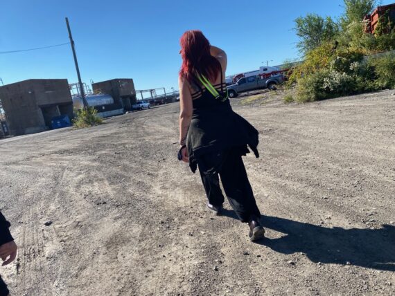
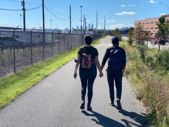
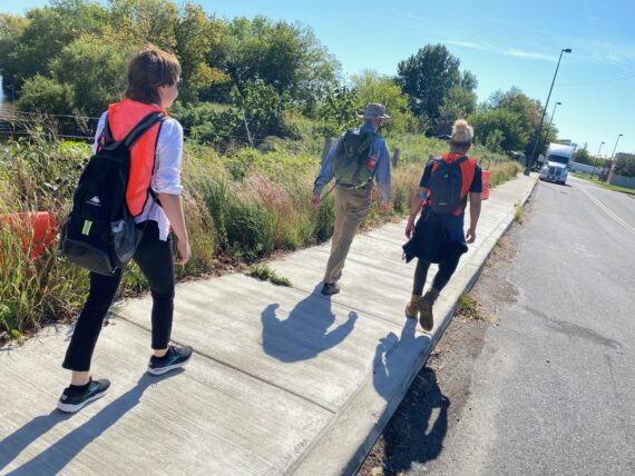
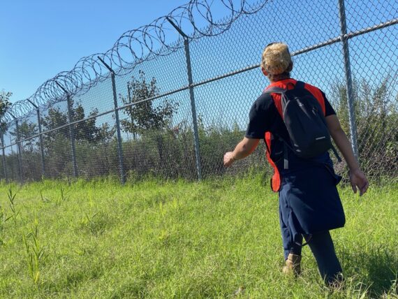
Setting out with the second group, we notice different houses…
… and a different little mowed path into Glen Foerd before the main entrance. We decide to follow it …
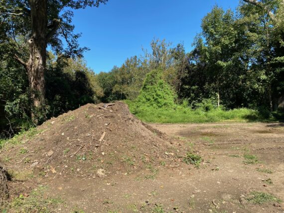
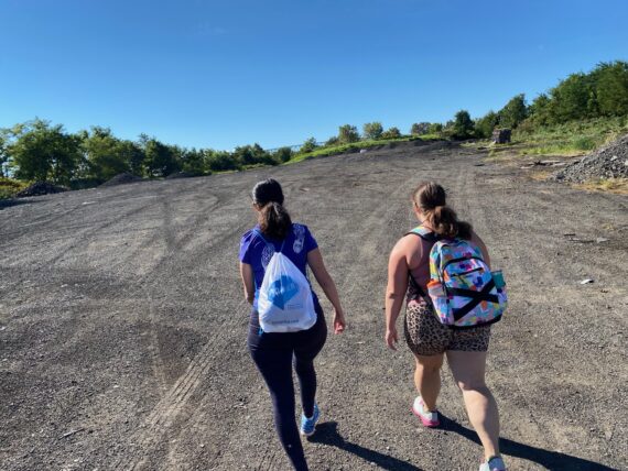
… and come across a big dirt pile and signs of some big tire tracks from whatever equipment moved it around.
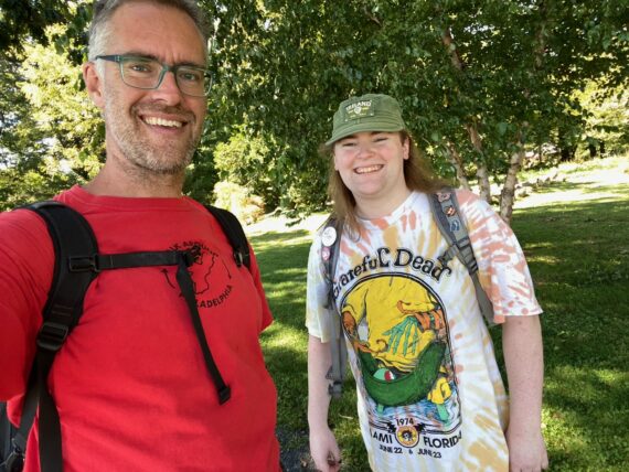
Oh yeah and here’s Group 2 – it turns out that it’s just my neighbor Aylish & I – another small intimate second group.
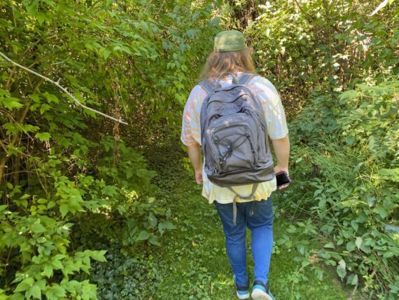
And so as I follow her through Glen Foerd, I wonder if we’ll move faster as a pair and maybe catch up with the first group as happened on Days 1 & 5.
There’s a couple big houses out this way…
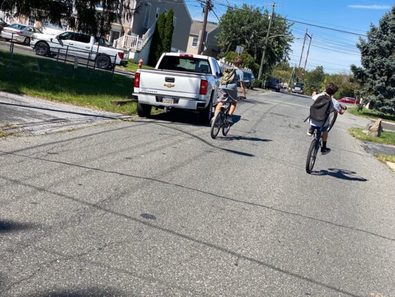
… and a pair of youngsters on bikes is another experience shared with last weekend’s segment.
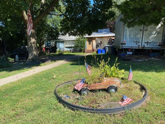
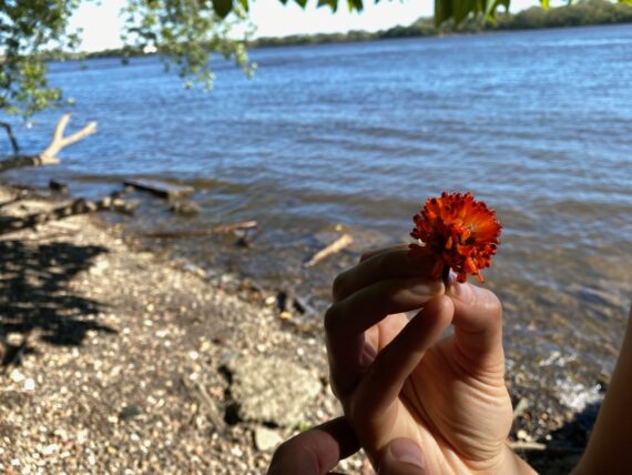
This tiny little car flower planter is one of those little details that I had to walk by many times before noticing…
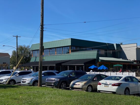
… whereas Maggie’s Waterfront Café is a spot that I’d noticed right away on our first walk in 2016.
They seem to be doing good business too!
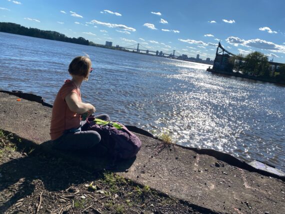
Aylish stops to take in the Delaware vista…
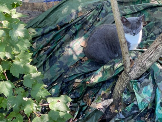
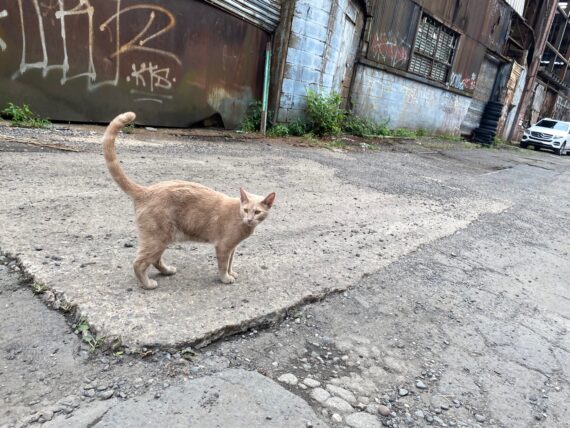
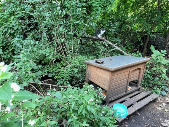
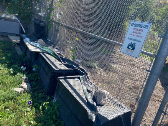
… and we’ve made it to one of the first (of several) cat villages along the Delaware.
I knew to expect several cats here, as I’d seen this strange structure & set of cat houses on every previous pass around the perimeter, but I wasn’t expecting…
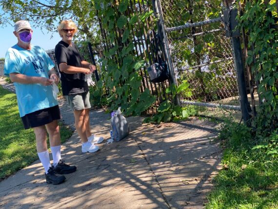
… to run into the folks who have the key to the gate and tend to the cats regularly!
(Some recurring themes for the Delaware segments would definitely be cat villages and unique timing…)
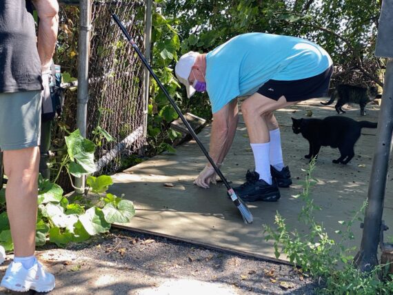
And so we got to witness mealtime, and learn that there were ~25 cats living here…
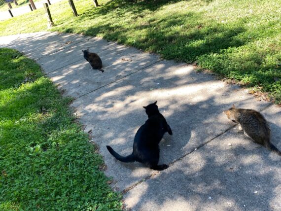
… and that this kind couple had names for all of them.
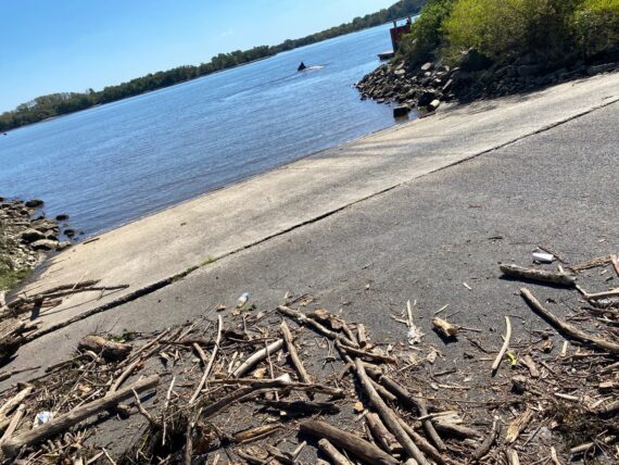
From there we passed by the Linden Ave boat ramp, where signs of recent post-hurricane Ida high water marks were still visible…
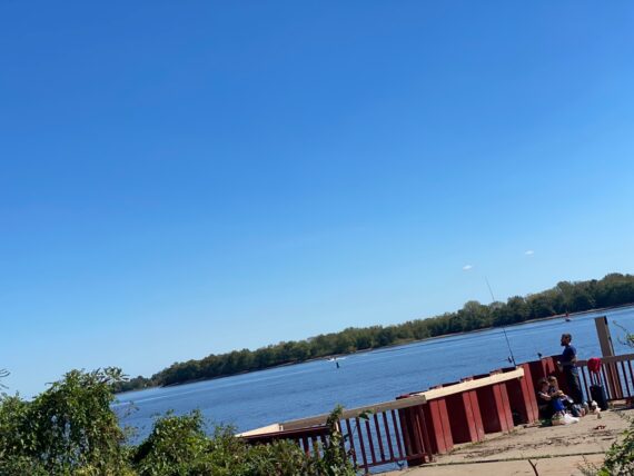
… past the fishing pier…
… and poked our nose a bit around the strange topography that I think might relate to inlets for the water treatment plant?
We couldn’t get through the muck and overgrowth that way and so we doubled back…
(During last February’s walk through snow and ice, we were able to explore a little bit more here, but still ended up having to turn back and roomba around…)
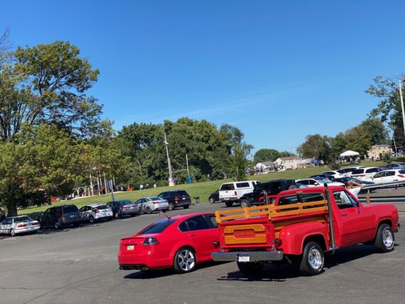
Passing through the parking lot at Pleasant Hill Park, we spotted a distinctive red pickup truck which we’d spot again further downstream at the Franford Boat Launch at the end of our day…
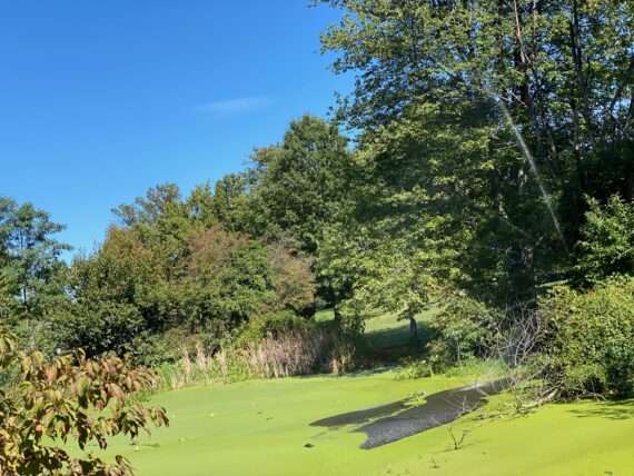
… but first we had to pass this pond full of algae…
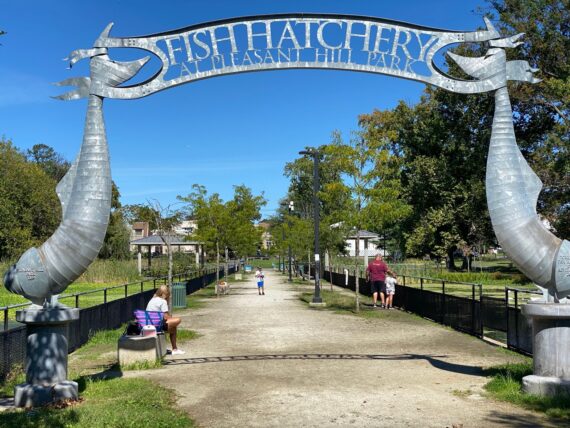
… and the fish hatchery…
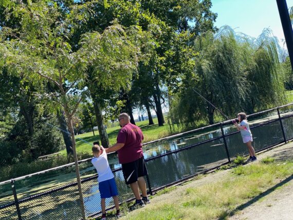
… where families were enjoying fishing…
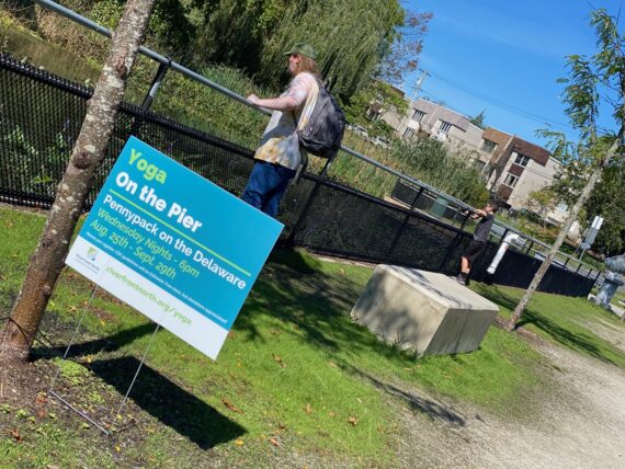
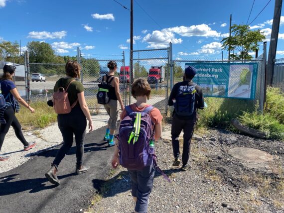
… and signs indicated outdoor yoga classes & movie screenings organized by Riverfront North, an organization dedicated to creating and maintaining the connecting trails along the river.
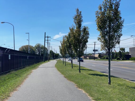
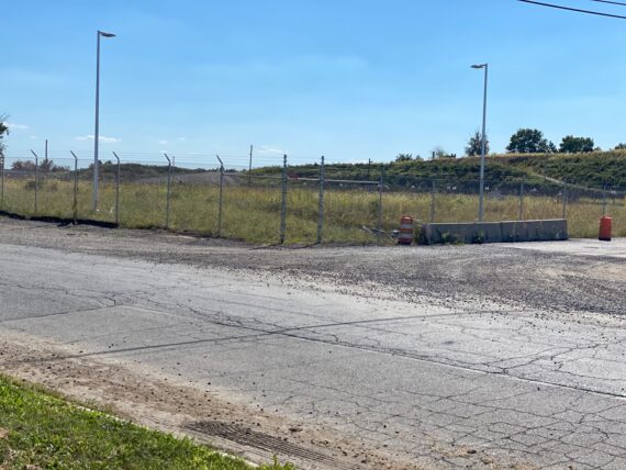
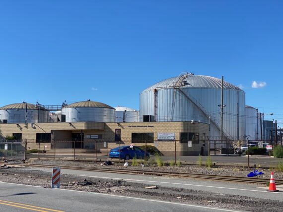
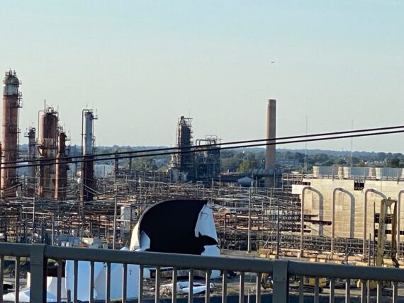
But there’s no riverfront trail here, so we find ourselves back on Sate Road, following alongside the water treatment plant..
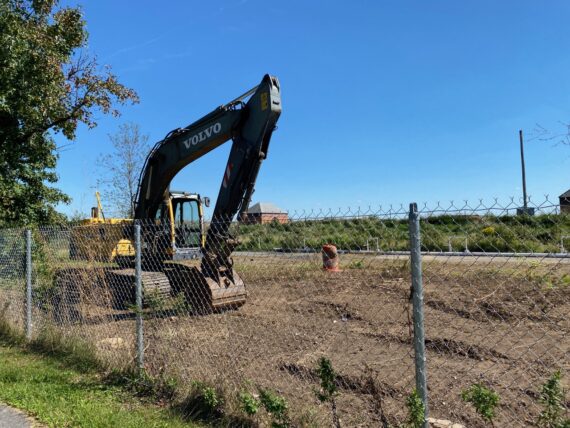
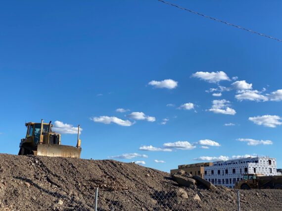
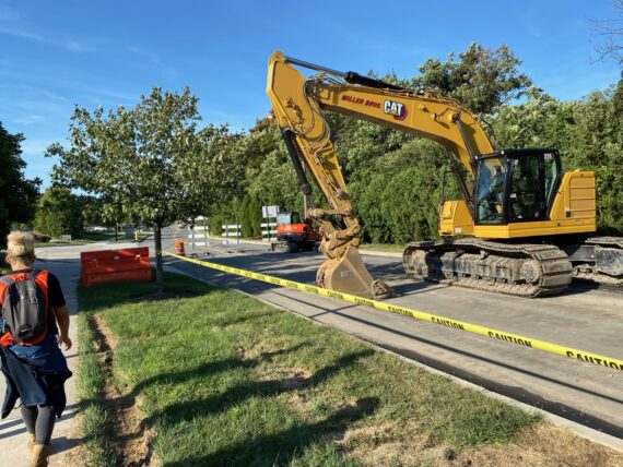
… where there’s clearly some work being done here…
… as these giant hunks of pipe indicate.
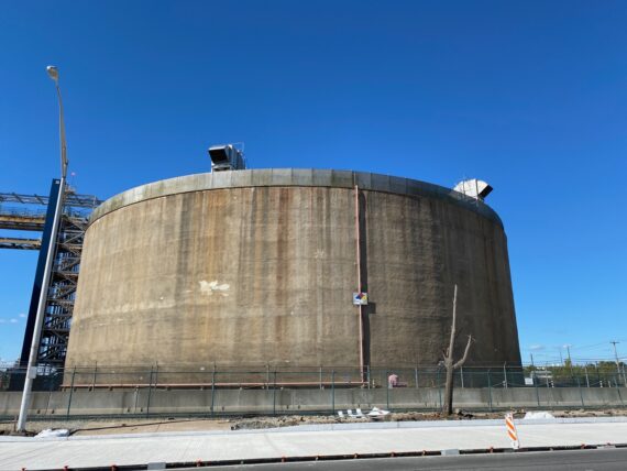
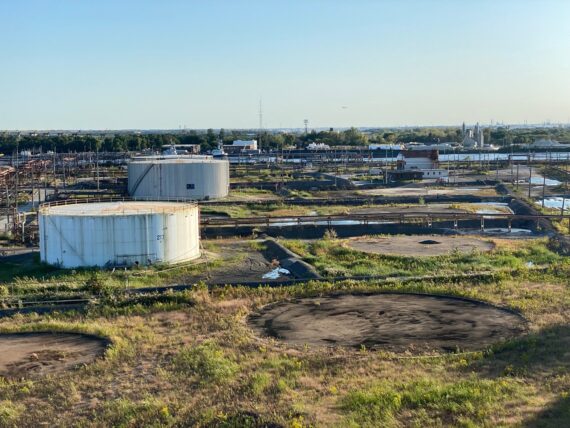
Much work has already been done however…
… as passing by this seeming vacant plot of land, I know that it covers a ginormous concrete reservoir or some other sort of giant water infrastructure that I’ve watched be built over the course of previous walks.
(This is another reason to not consider it “done” even if you’ve walked the entire perimeter. Even without changing anything else like season or direction, walking it again brings countless surprises and opportunities to witness the evolution of the city…)
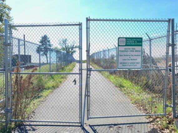
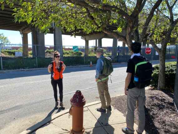
Coming up on the Baxter trail, we find a closed gate and a sign with restrictive hours informing us that…
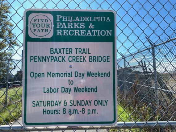
… the trail is only open on weekends in the summertime.
This seems crazy to me, and immensely frustrating. It’s a gorgeous trail, and I wish that it were publicly accessible in all seasons.
I wonder if this relates to the nearby shooting ranges (there’s both a police training one and a private shooting range back here) but I know that a giant earthen berm protects the trail from those…
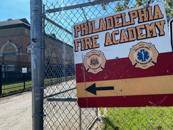
Just beyond the trail entrance is the Philadelphia Fire Academy training ground, but rather than heading in here to explore we opt to double back…
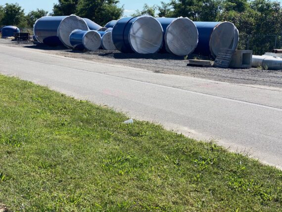
… this allows us to get a closer look at those big blue pipes, which seem to be protected in transport by some scraps of carpet-like material.
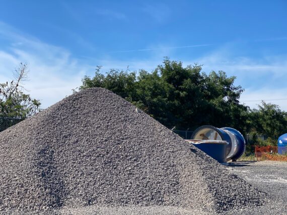
There’s also a great big gravel pile…
… and seeing all this is another opportunity to reflect on the infrastructure that sustains our way of life.
Up ahead there’s a closed off area with the sound of running water…
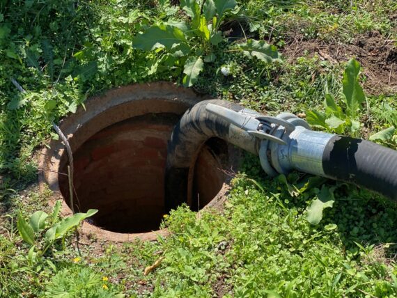
… and this pipe leading into what seems to be some older infrastructure. Peering into the shadows, you can make out that this access pipe/tunnel…
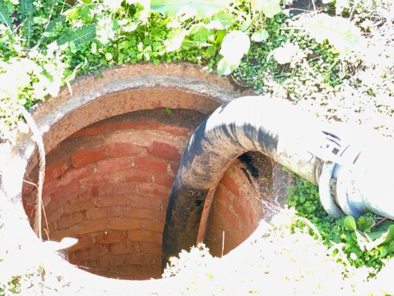
… is made of brick rather than metal or plastic or concrete. I don’t think they build things like this anymore!
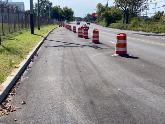
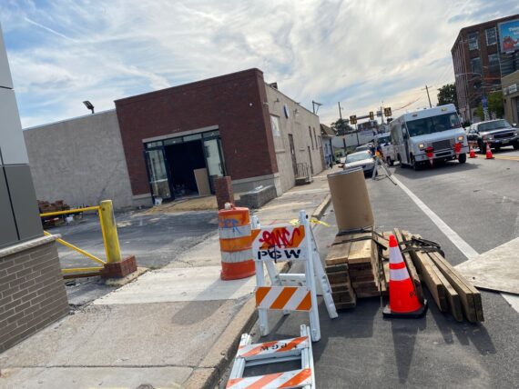
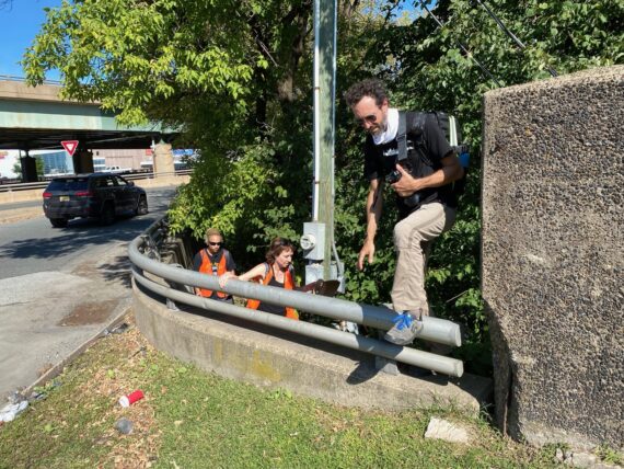
Up ahead we find ourselves walking on the road, but protected by these construction barriers…
… and then suddenly there’s a sidewalk!
This type of transition where sidewalks are suddenly interrupted is why planning out wheelchair accessible experiences of the perimeter is super complicated, and will take a lot more work.
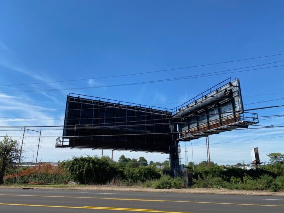
As we walked by the backside of these billboards, the sidewalk had vanished again…
… only to reappear once more as we approached the first of several prisons.
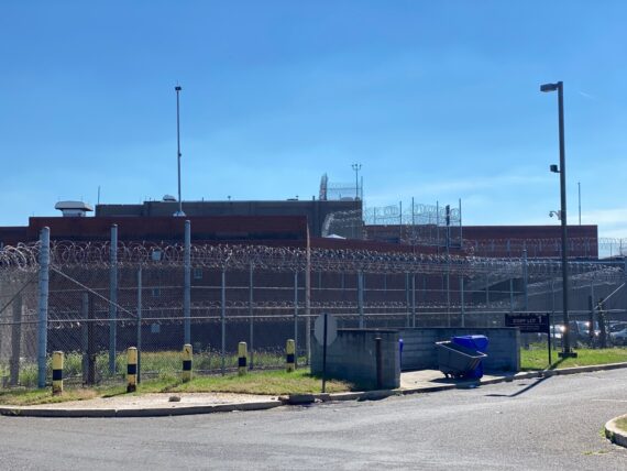
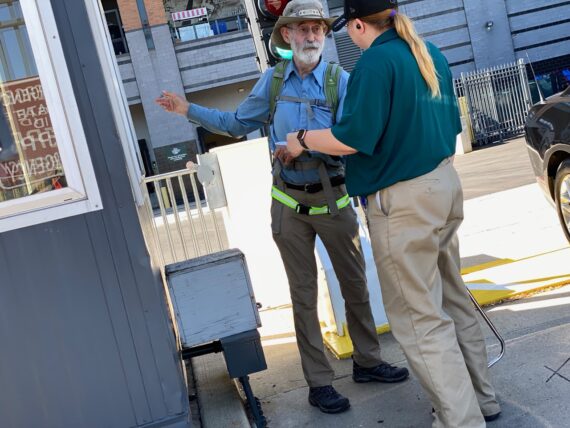
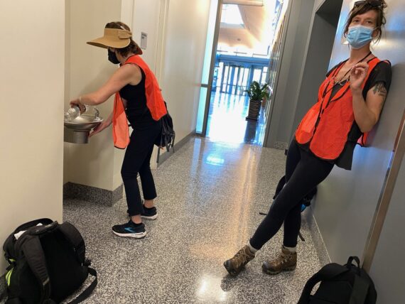
From past experience visiting an incarcerated neighbor friend, I know that the lobby of the PICC prison has a publicly accessible bathroom, so we pop in for a quick rest stop…
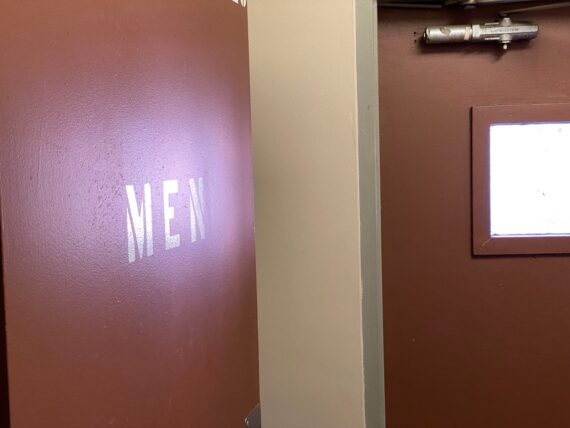
This kind of bathroom brings up another accessibility question… gendered restrooms like these with big signs for “men” or “women” can feel less safe for trans-folk or people who otherwise don’t conform to societally expected gender roles.
Finding myself at the prisons though this chosen adventure rather than by necessity or being brought there by force already brings up many questions of privilege, but this is yet another set of issues to consider…
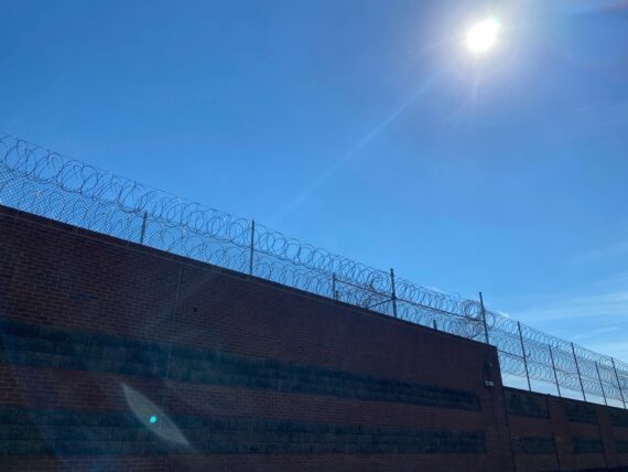
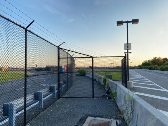
And so we continue on past more razor wire…
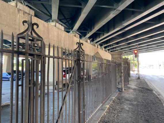
… and the older fences underneath the highway…
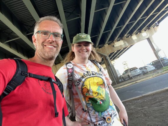
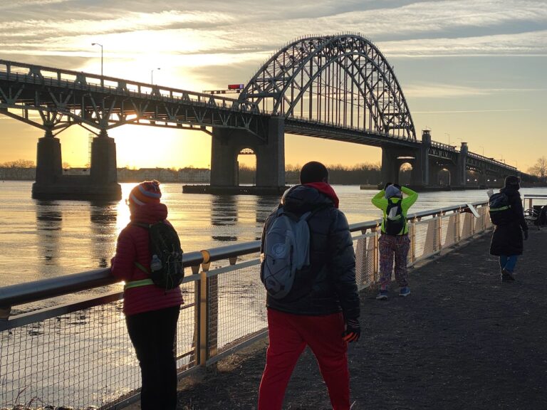
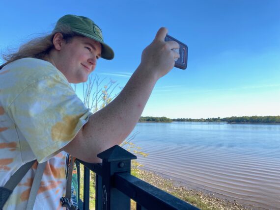
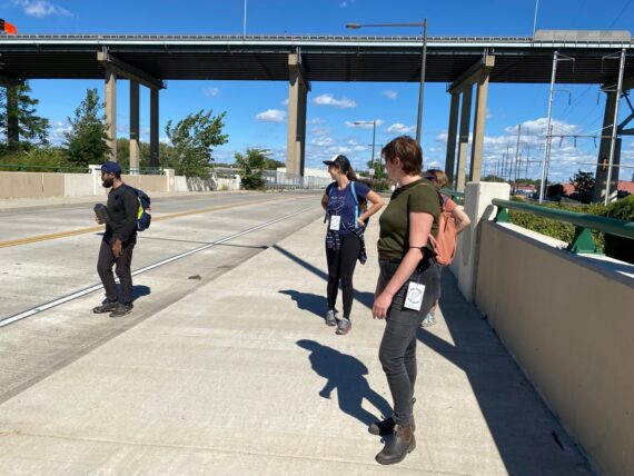
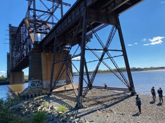
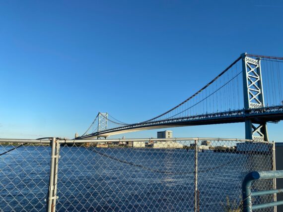
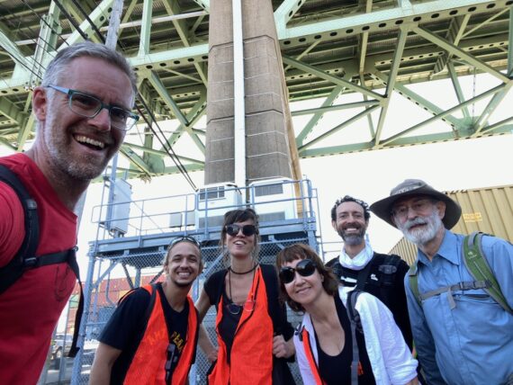
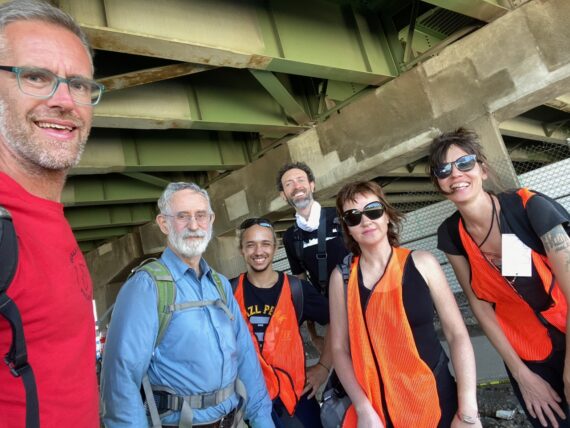
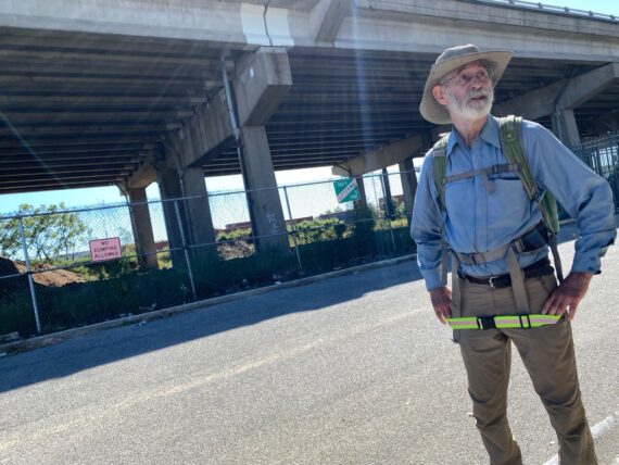
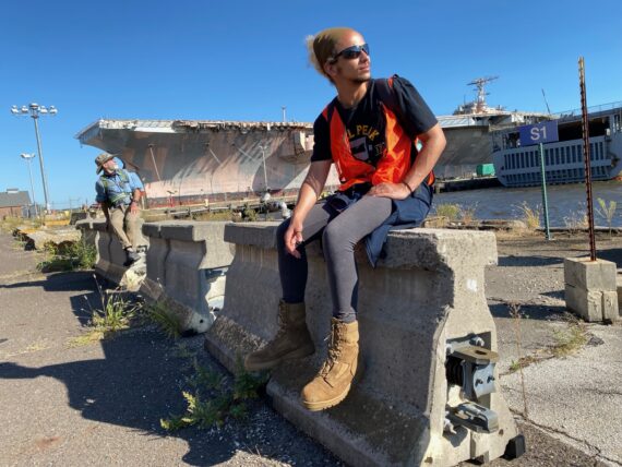
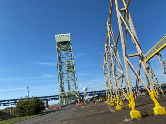
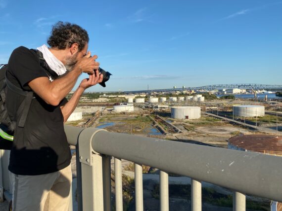
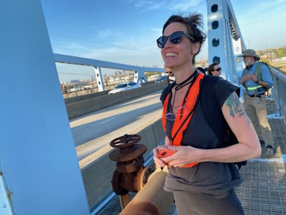
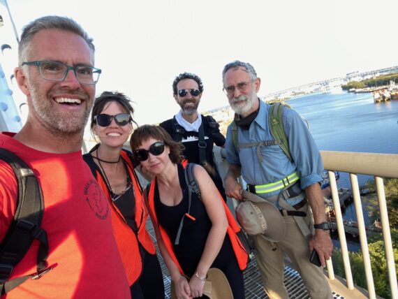
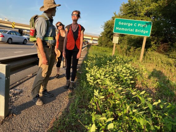
This is a good place to stop for a quick bridge selfie!
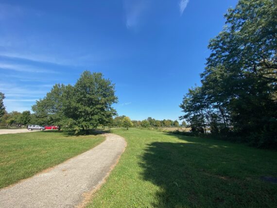
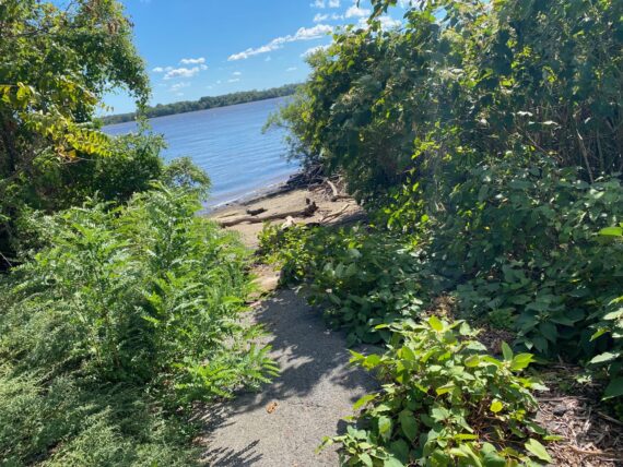
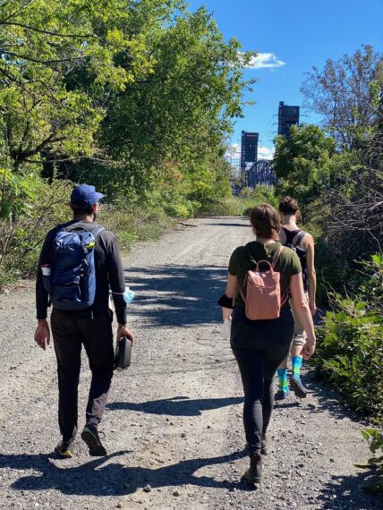
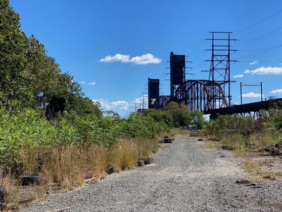
A trail brings us back towards the river by Pennypack Park’s river fields…
… and a little trail into the woods at Ten Mile Point shows some promise.
This is another one of those amazing moments of transition on the perimeter, where in just a few moments we’ve gone from traffic on State Road and prisons to finding ourselves in the woods…
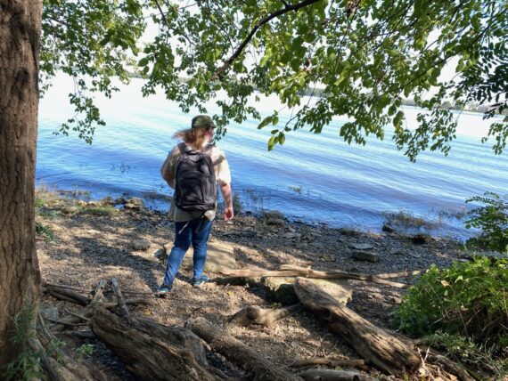
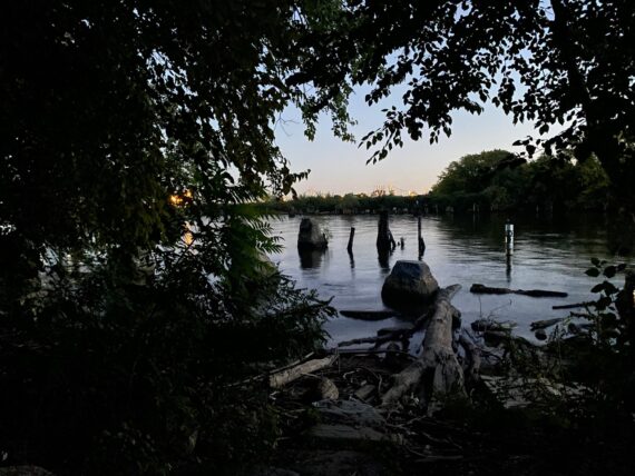
… and at a peaceful riverfront beach.
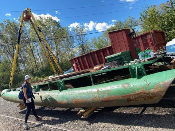
There’s an old abandoned boat here…
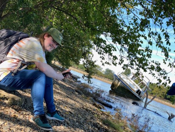
… and it’s a good place to stop for a snack.
It’s fairly peaceful, but the wake from a passing jet-ski causes enough little waves to come up to the shore such that I have to jump back a few feet from my intial snack-spot to keep from getting wet.
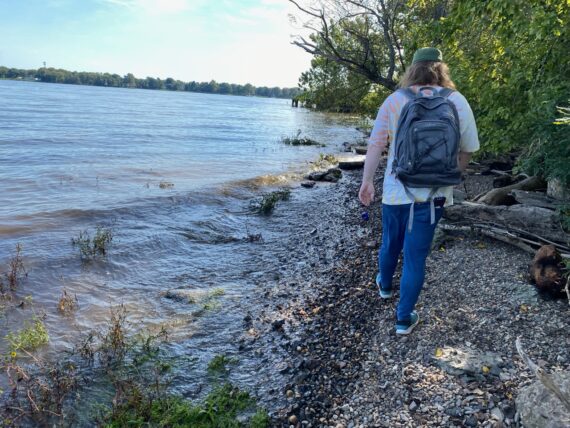
We continue on along the shoreline…
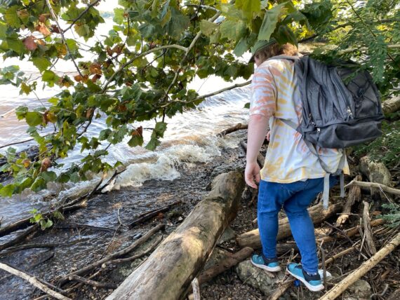
… but find ourselves stuck between water and dense growth, and there’s a fair amount of poison ivy.
I’d managed to get through here once before, but that was in wintertime…
We end up turning back the way went…
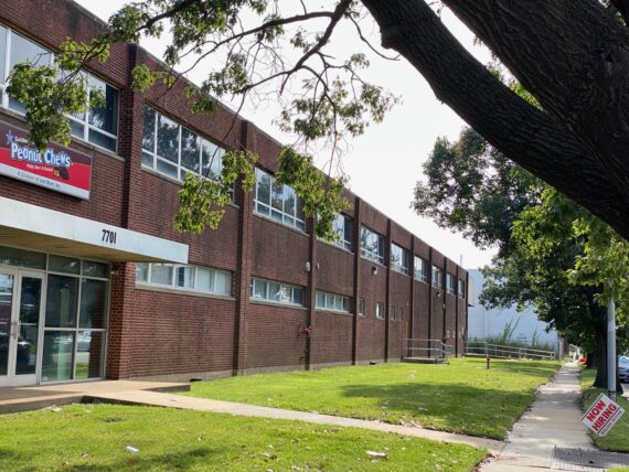
… which brought us back down State Road, where we walked by the Peanut Chew factory…
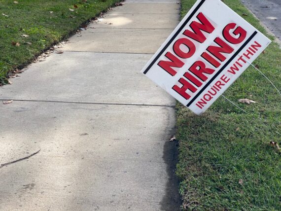
… which was hiring…
… and so was a schoolbus driving business across the street, with many many little yellow “now hiring” placards.
At this point Aylish & I reviewed the map – we had a choice to either turn down Bleigh Ave to the industrial lands of Milnor Ave to be a bit closer to the river’s edge…
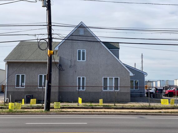
… or continue an extra block down State Road which would bring us by Four Seasons Total Landscaping, which you might remember from a bunch of kerfuffle in the media around the last election.
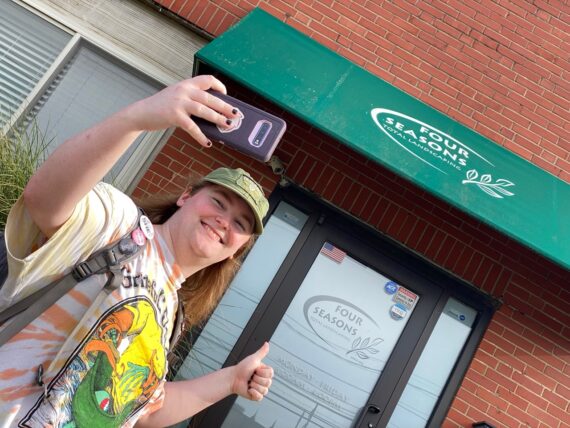
Aylish was excited by the prospect of a photo op down this way, so we chose that path…
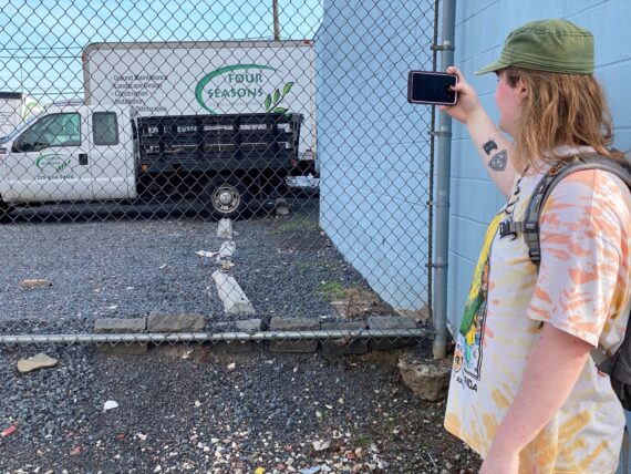
… bringing us past the now-famous press conference parking lot…
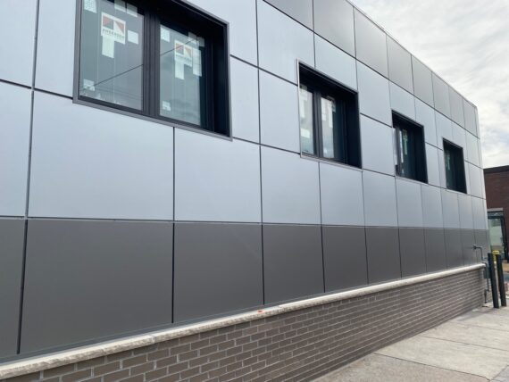
… and some brand new modern construction.
This felt like an interesting bit of new development for this area…
Passing on by some construction…
… we zigged down this side block at Wellington St, as it looked from the map like we might be able to walk on Wissinoming St (a teensy bit closer to the perimeter)…
It was clearly marked “private” though, so we turned back.
(This is another one of those strange places that I have questions about… on both google maps, *and* the city’s website, Wissinoming looks like a regular public road. But it seems to be used as a private construction material staging area. Are the private property signs legit? Could we walk there? What’s going on here?
Of course the walk brings up all sorts of questions about borders and boundaries and private property and public accessibility but we weren’t going to get them all answered right then…)
Back on State Road, I noticed that little gray house on the right which also shows signs of a very modern renovation…
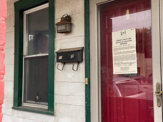
… while this other nearby structure had an “Unsafe Structure – Notice of Violation – Warning” notice – maybe one of the next ones to be renovated?
That was clearly an official city notice, while this next sign…
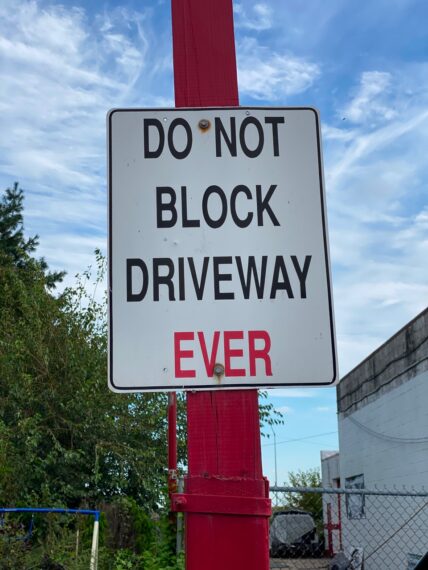
.. of “Do Not Block Driveway EVER” felt maybe more like a private addition.
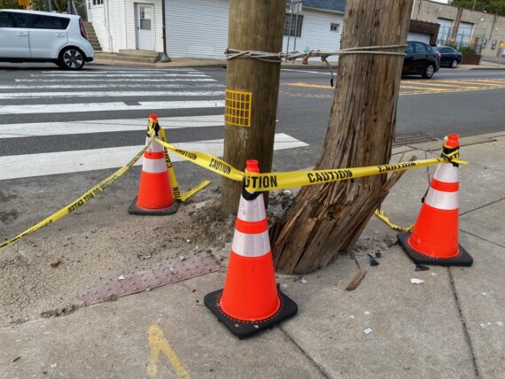
We passed by a smashed utility pole that felt like it might have been splintered by a car crash… I found it rather humorous how it had been left standing tethered to the new pole.
At Princeton Ave, there was a path under the newly renovated highway…
… leading to this food distribution warehouse on Milnor St.
Now here I got rather confused, as this really didn’t feel familiar…’
… and I definitely didn’t recognize this sidewalk / access towards the riverfront…
… but as we passed by I realized that this warehouse had still been under construction in past walks and that the landscaping was all new…
And so we found ourselves at the Tacony Boat Launch…
… and this sweet little park by the river was a great place to take a break.
There wasn’t clear access along the river here though…
… so we zagged right back out to Milnor St…
… where the other size of the newly developed facility seems available for rent.
(Anyone need a warehouse / giant office space?)
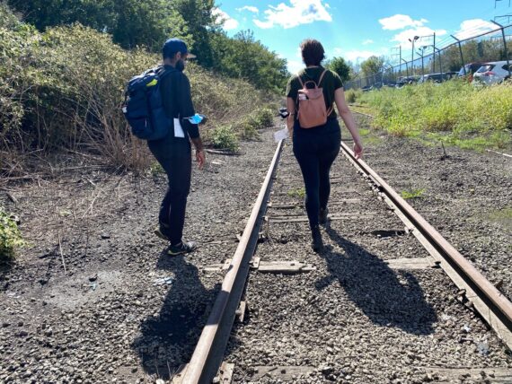
Further ahead, Aylish noticed this great little historic relic of train tracks leading from nowhere to nowhere, a clear trace of earlier riverfront industry.
Speaking of riverfront industry…
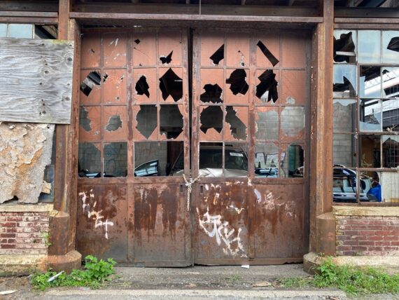
… we came to this lot that my fellow walker was a bit hesitant to explore, but I encouraged us forward, as I knew from this past winter’s walk that there was a way through around back behind that abandoned building…
But the walk has a way of always surprising, and so we rounded the corner where I thought we’d be able to follow a little grave road through the scrapyard…
… and found it completely barricaded by a cargo container!
Guess we’re not going that way, but doubling back gave me a chance to take a snapshot…
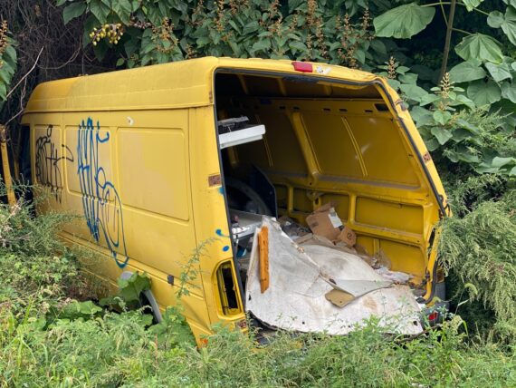
… of this random smashed yellow van.
But rather than doubling all the way back to State Road…
… we spotted this way through…
… some interesting semi-decrepit industrial warehouse lands…
… where suddenly we were greeted by a cat…
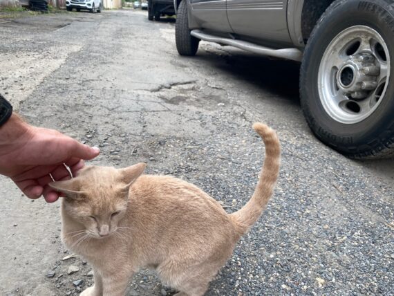
… who was very friendly!
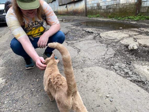
After stopping to say hello…
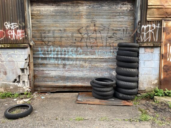
… we continued on past tires and garages…
… and these broken old windows, where there were signs of active work on vehicles going on behind them.
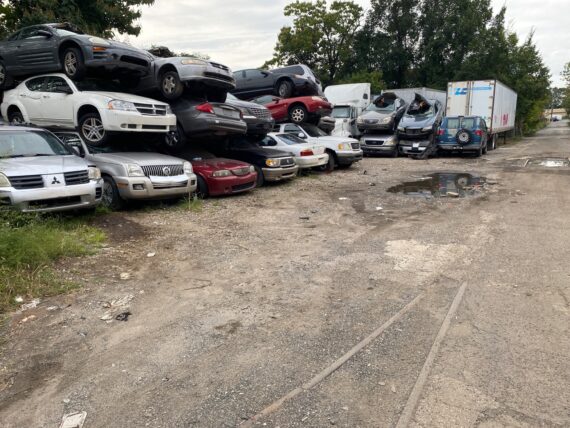
Up ahead was a pile of vehicles stacked three high…
… and more remnants of old train tracks embedded in the road…
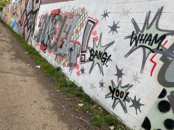
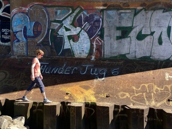
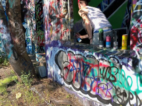
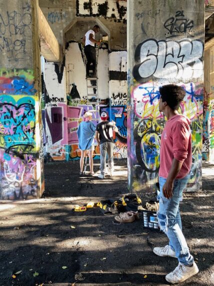
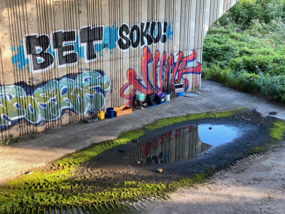
… and some shiny new graffiti.
We pondered if we could get back southeast closer to the river here, but encountered some clear “private property” markers down that way.
But looking southwest…
… we caught sight of this path into the woods, seemingly skirting right along the property line.
We chose to follow it, and found…
… another cat village!
(There are several of these along the Delaware, but this one was new to me.)
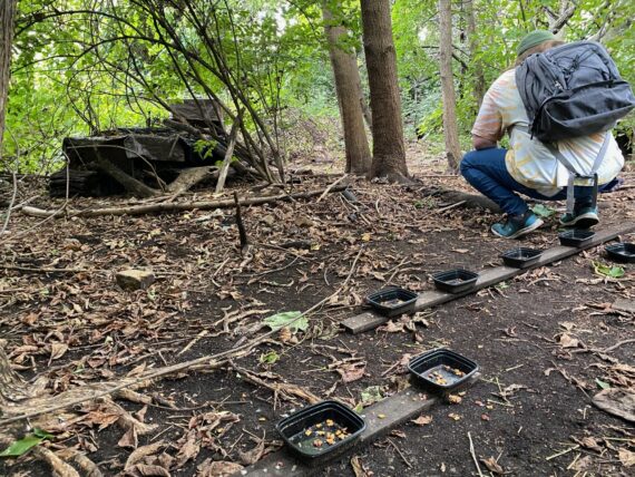
Someone had set out a bunch of feeding stations…
… and assorted shelters.
We weren’t able to make it through though, and so once more did a little loop through the woods …
… and came back out the same path that we’d followed in.
(I find the contrast of these moments where you go from barren industrial to being plunged into the woods quite amazing, and those strange abrupt transitions / transformations are one of my favorite aspects of Walk Around Philadelphia…)
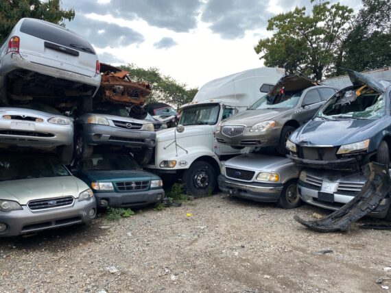
Coming back out by the pile of old cars…

… we followed more rails…
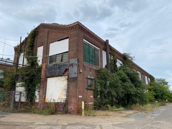
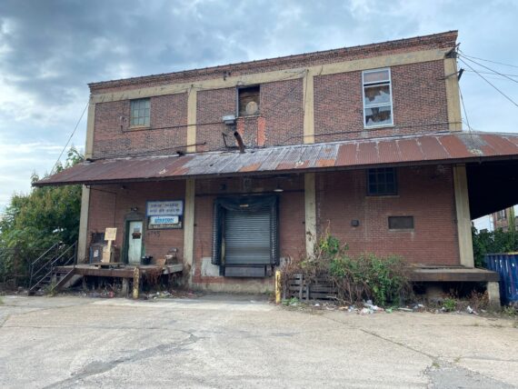
… past more beautiful old abandonned industrial buildings…
… although maybe not all abandonned… that little light brown sign in the bottom left corner outside of this building says “UPS”, and seems to be a shipping drop point.
(The larger blue sign says “Disston Precision” which leads me to believe this facility is associated with the Disston Saw Works, where I’d photographed for the Hidden City Festival way back in 2009. Disston made saw blades including incredibly giant industrial ones that were used to cut steel girders…)
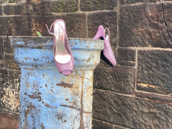
Further ahead: a random pair of shoes.
(The strange out of place objects one encounters are another interesting facet of the walk… whose were these? How did they end up here? Who chose to arrange them like this?)
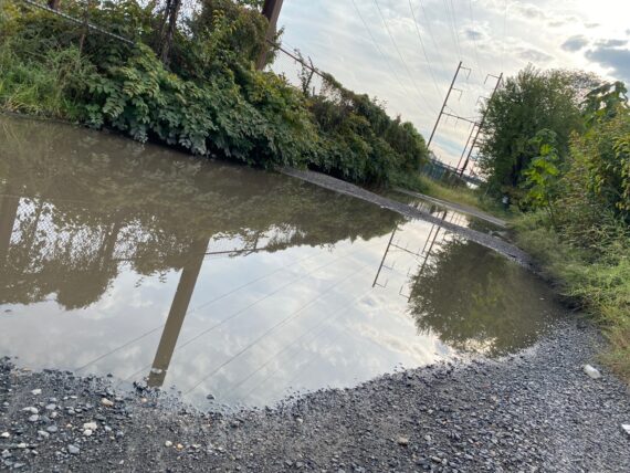
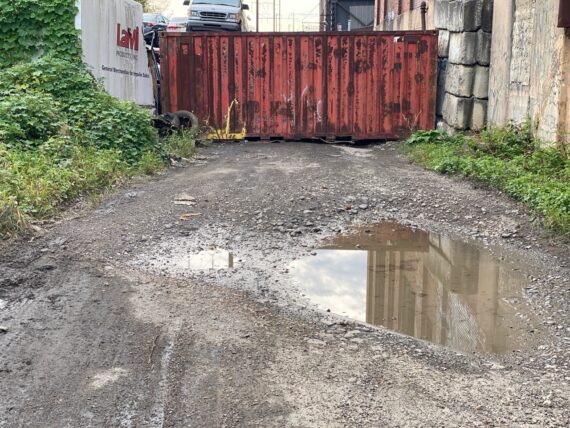
Up ahead, our path was obstructed by a deep puddle…
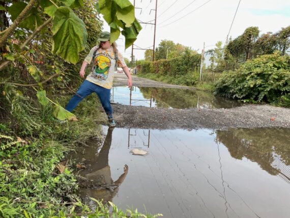
… but we are intrepid adventurers…
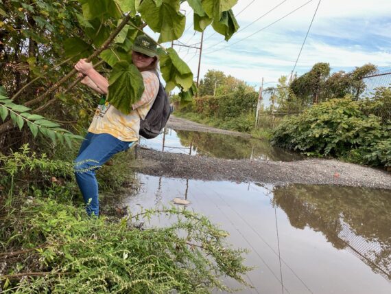
… and with a little bit of help from some fast-growing weed trees…
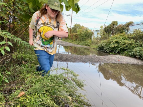
… we found our way past.
(This also could have been a good place to wrap a couple of plastic trash bags around our shoes to keep them dry… this kind of scenario is exactly why they’re on the walk packing list.)
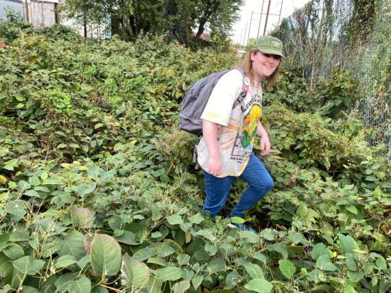
Up ahead was one more challenge to navigate…
… we could see that we were just yards away from the newly developed Delaware River Trail, but we were on one of the not-yet-renovated future segments…
… and there was a pile of overgrowth between us and the trail.
Proceeding with care and caution, we tromped on through…
… emerging victorious…
… and striding out onto the clear trail.
(Obviously, this particular adventure path would definitely *not* be accessible to someone in a wheelchair, but there’s always a different path around. It will be nice when the entire river trail is completed for more accessibility alongside the river however.)
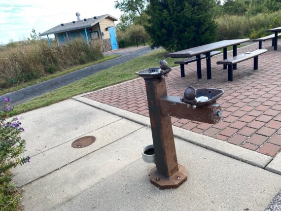
Here at Lardner’s Point Park, there’s a sweet picnic & rest area…
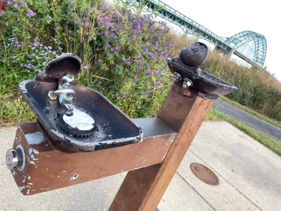
… but it was disappointing to find that the water fountains were out of service…
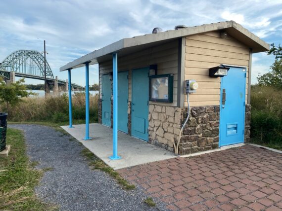
… and the bathrooms were locked too.
(It turns out that building something is just the first challenge – continuing to maintain it is a whole lot more work and takes more resources.
Maybe this is another opportunity for me to pitch you with an ask to become a backer of my work so as to help me continue to develop accessibility resources & further develop the walk for others?)
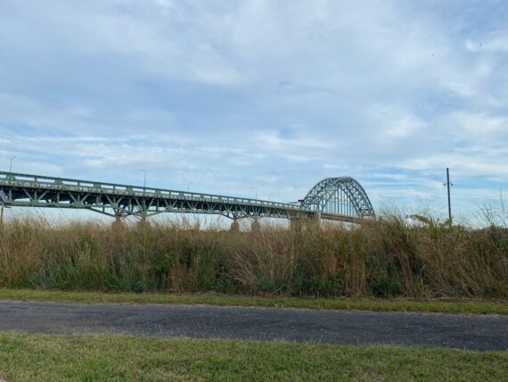
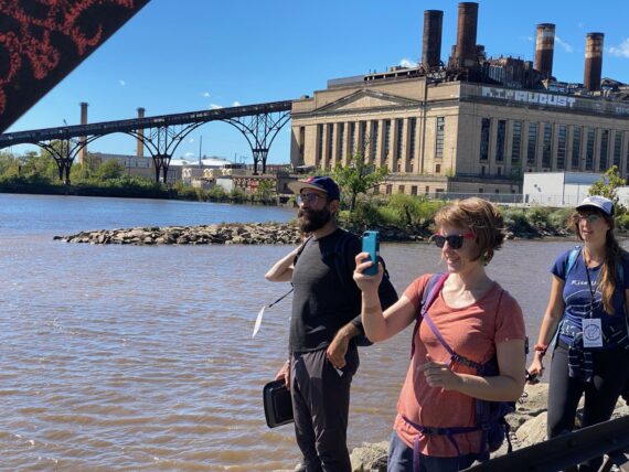
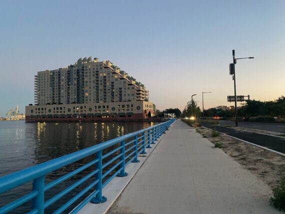
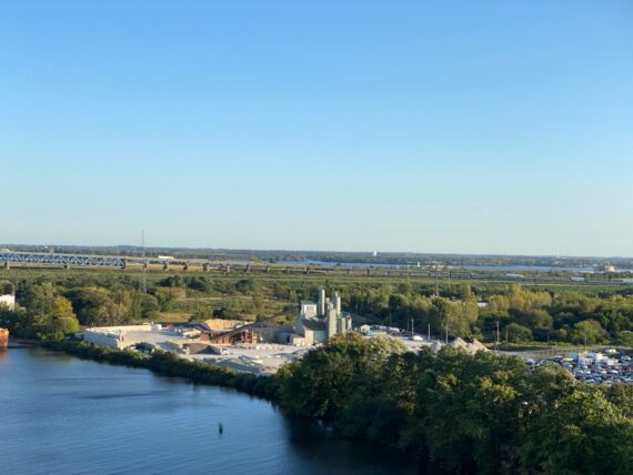
We enjoyed the view of the Tacony-Palmyra Bridge…
… and as we set out along the river trail, look what was quickly coming our way…
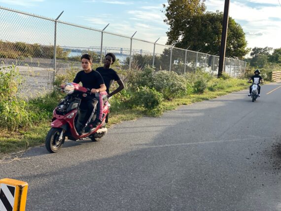
… a bunch of youngsters on scooters!
(There would be more youth on motorized vehicles before the day was done… another theme of the day.)
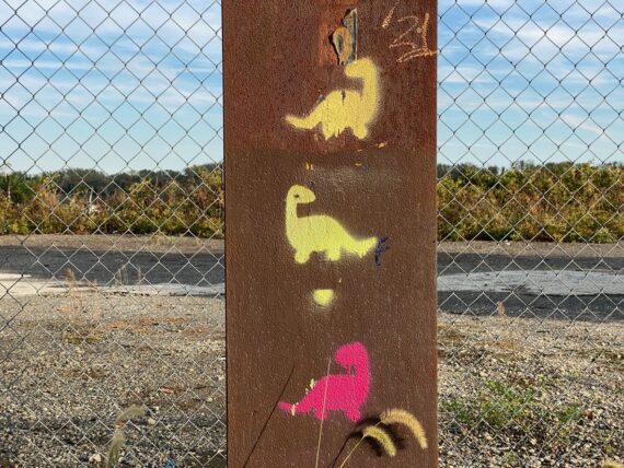
And here are some spray-painted dinosaurs. In last September’s walk I’d encountered animatronic ones down by the stadiums…
(This bit of graffiti along the trail made me smile, and also referenced a bit of an inside joke with two two beloved friends whom I’d gone on a road trip with earlier in the summer. I was looking forward to seeing them soon, as they were planning on walking tomorrow’s segment from Bridesburg down to Pier 68.)
Now up ahead was a great moment that photos don’t fully capture.
To set the scene, you have to imagine really loud latin music coming from up ahead along the trail…
All we could see ahead was a peaceful, quiet trail, but it sounded like someone was having a party or something up ahead.
We could just see this family coming towards us from a distance, and one of them stepped around the corner to give someone a hug just out of sight to the right there.
As we approached the source of the music, we speculated as to what we’d encounter around the corner.
Maybe a wedding? A party?
In jest, I joked that maybe it was just three dudes with some loud speakers…
… and IT WAS!
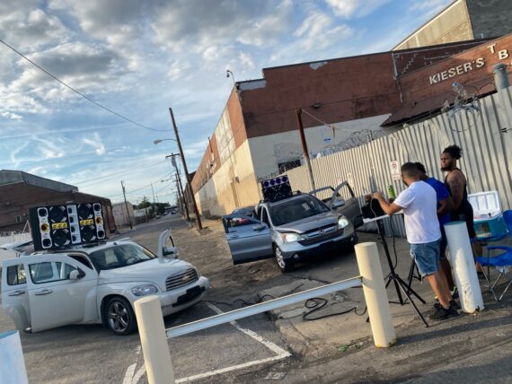
We ’rounded the bend and found these three fellows with their two cars with giant speakers mounted on them.
We had a little nod & smile interaction, and they gave a sign saying that it was ok to take a photo of them, but we didn’t interrupt them to ask more about what they were up to, and so I’m left wondering… was this a sound-check for a later night party? A promotional stunt for social media?
Just another classic perimeter surprise.
Here by the Franford Boat Launch area, the path turns out back out towards State Road, because the next bit of trail towards Bridesburg (including a bridge over the canal) isn’t yet developed.
The parking lot by the boat launch has several youngsters riding around on little motorcycles & ATVs…
(this kind of outdoor park scene is one of those things that one might encounter during the September iteration of Walk Around Philadelphia, and might be less likely to be seen during the February walk.)
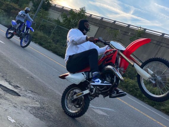
Back up on State Road, more motorcycles…
… a whole gang of them zipping down the road…
… before we finally make it to Bridge Street…
… which will be our ending point for the day.
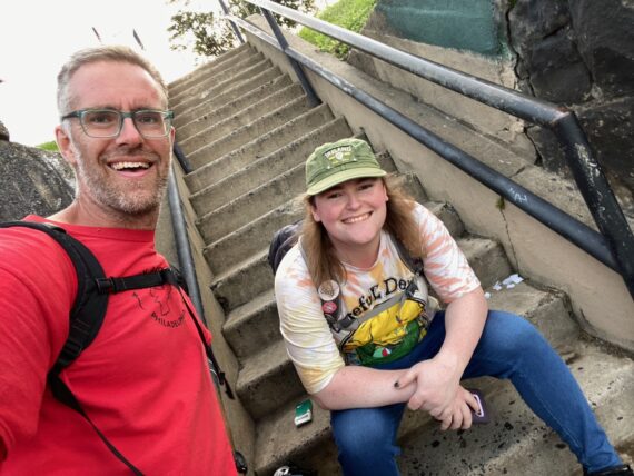
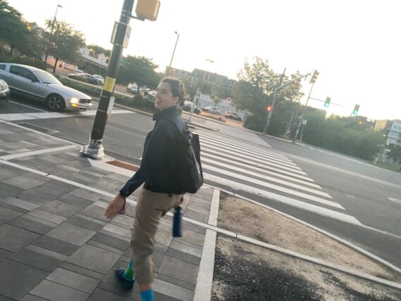
I part here with Aylish, who’s catching a rideshare car back up to Torresdale where she left her car in the morning…
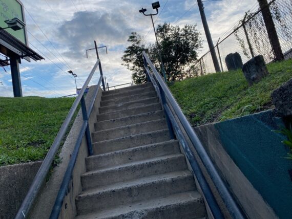
… while I take my tired legs up one last flight of stairs…
… to catch a glorious evening sky…
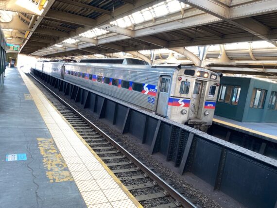
… and my ride home on the regional rail.
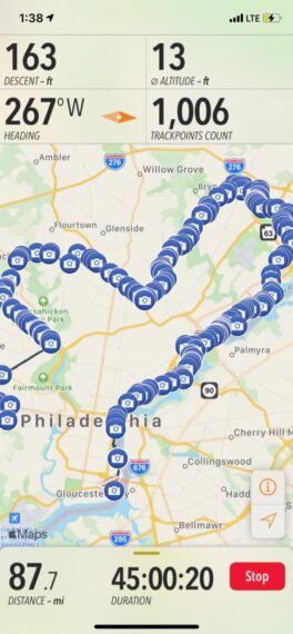
We’ve covered a lot of ground!
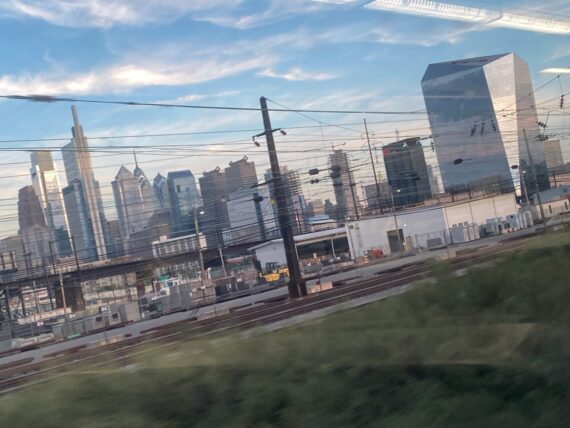
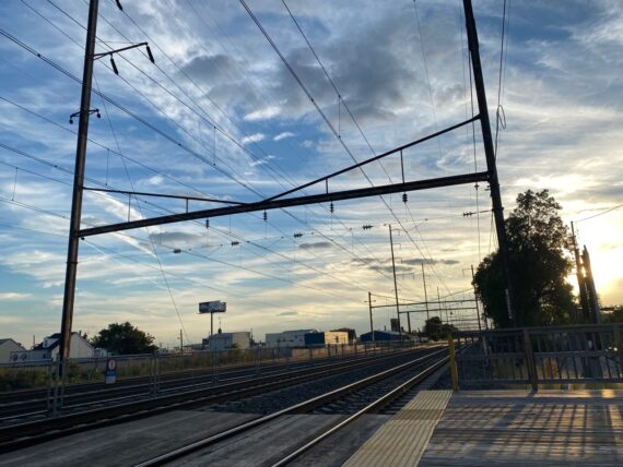
The train home offered a sweet view of the skyline…
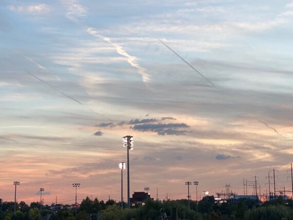
… and the walking transfer to the bus gave me one last great bit of evening sky before getting home.
The next morning it would be right back to that same train line to resume the next segment down the Delaware!
Segment 7:
Bridesburg towards Pier 68
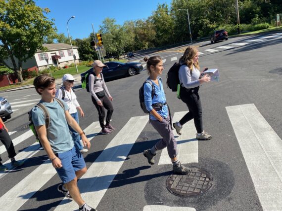
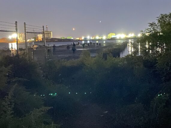
Early morning and back at it for the middle segment of the Delaware, from Bridesburg to Pier 68.
Taking SEPTA back and forth to the start and stop points allows for glimpses of all of the rest of the mystery of the city that the perimeter encircles…
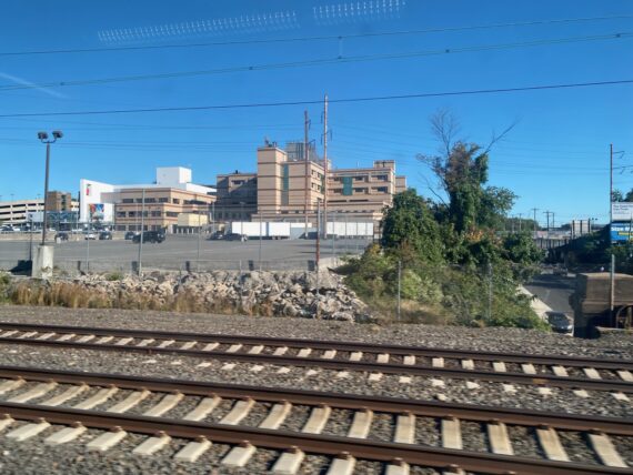
… like this glimpse of St Christopher’s Hospital for Children, which by my mapping is pretty much geographically dead-center of the city (if you drew the smallest circle that could fit the whole perimeter and then found its center.)
It’s five miles north / northeast from City Hall which was the center of the original city layout.
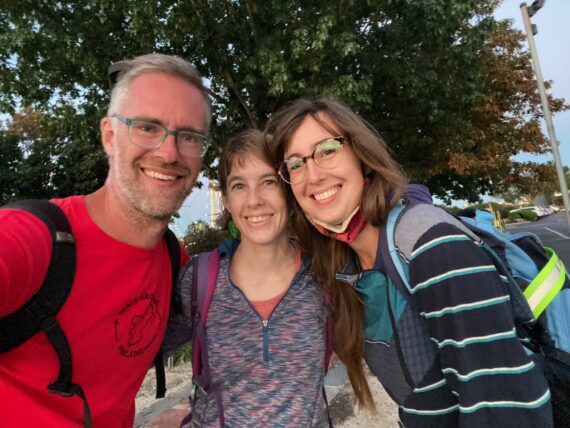
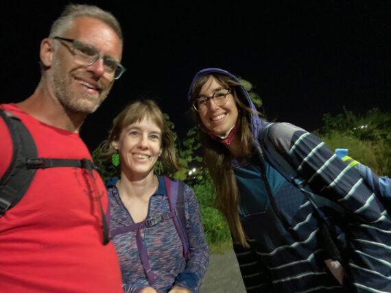
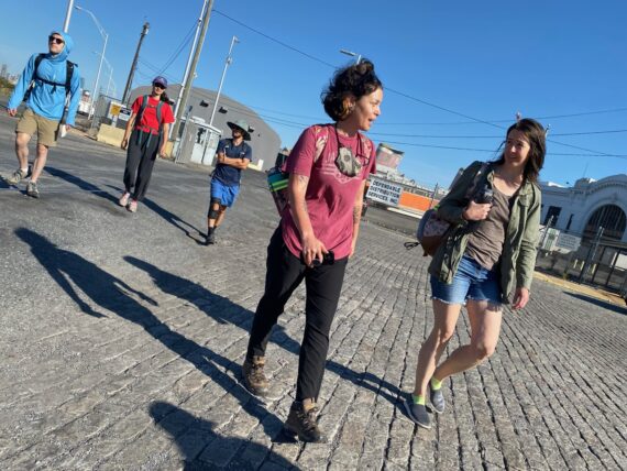
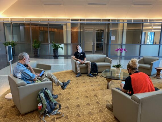
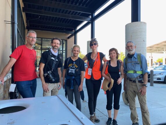
It seems that I’m the only one of today’s first group who took the regional rail, so when I hop off the train just minutes before our rendezvous time, I find…
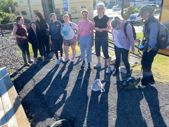
… this whole posse awaiting me!
Someone made a comment about the gender dynamic, where today’s first group would be 9 women… which was a change from the most recent winter walk, where it was four men who completed the entire thing.
I notice that this group is again all white, and that there’s more work to be done to overcome barriers to access so that the participant pool for this project might better represent the city’s demographics.)
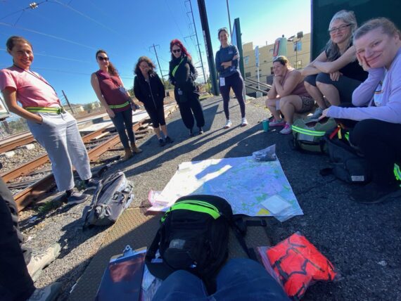
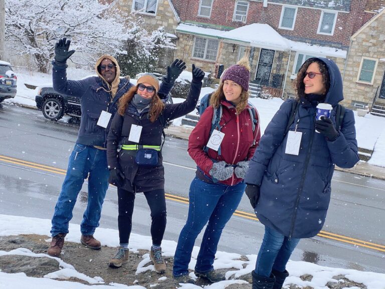
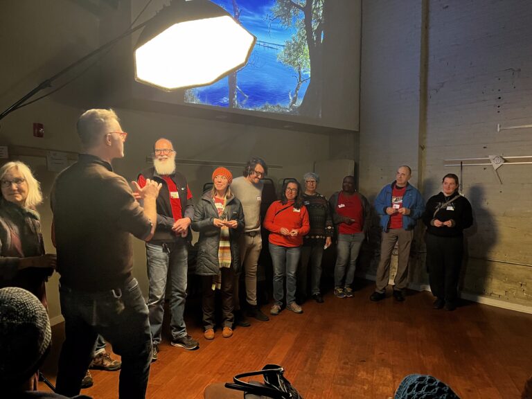
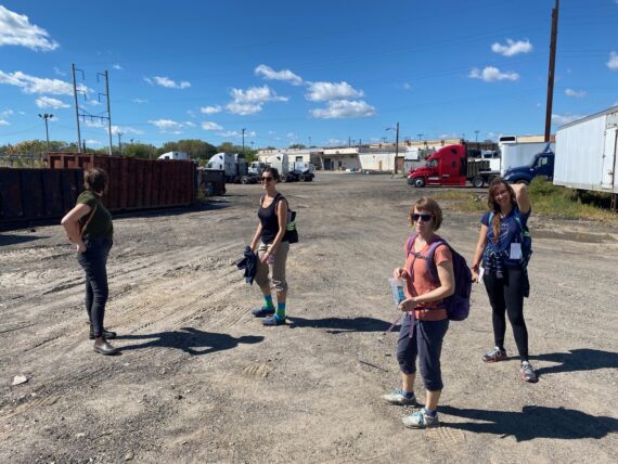
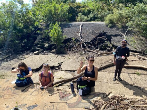
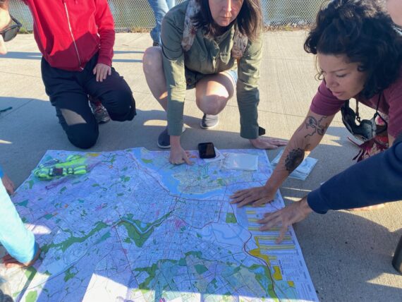
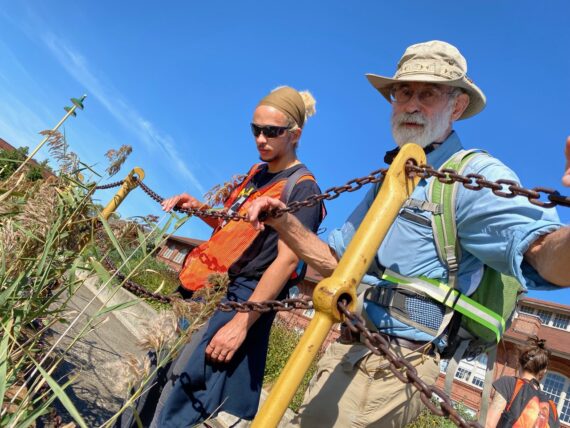
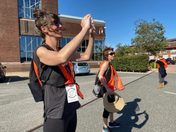
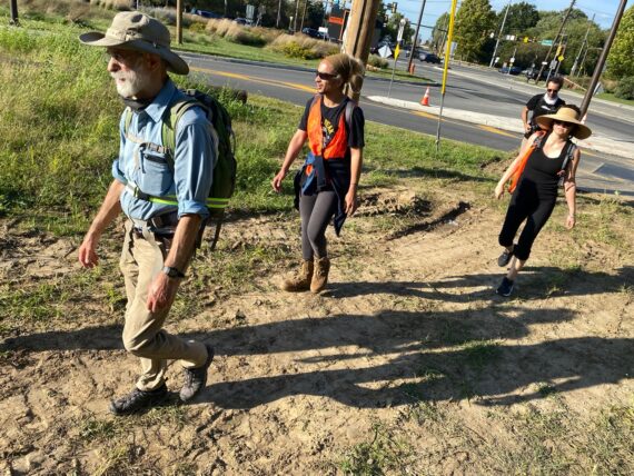
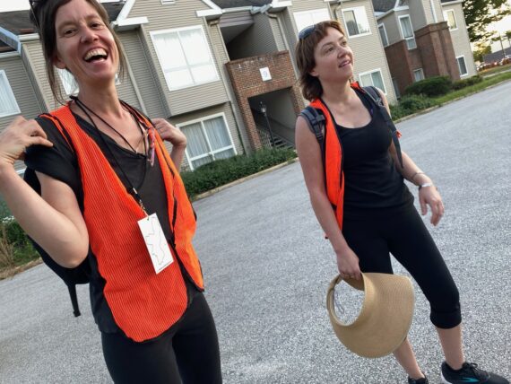
As has become the tradition, we started with introductions and a review of the map and our guidelines, along with distributing safety supplies, stickers and the like…
… before designating some first navigators…
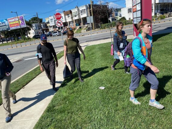
… and heading out on our way!
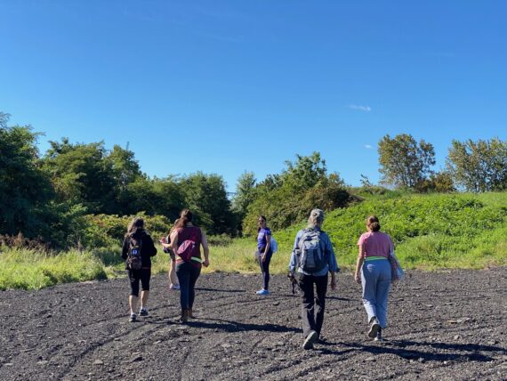
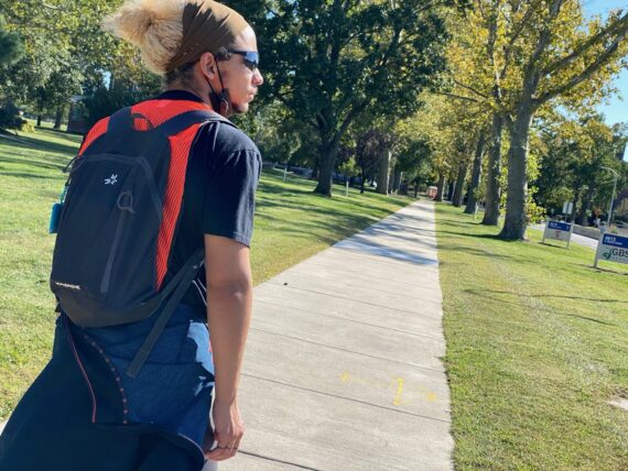
Heading out with this larger group, there was a spirit of play and adventure…
… some walkers who were already connected to my work had brought friends…
… and it was delightful to reconnect with Kimberlee, whom I first photographed at the Fringe Festival in 2003 or 2004… like me she’s now both a visual artist and also working as a licensed massage therapist.
(Here’s an opportunity to give a plug for my own massage practice, which will get better integrated into my website at some point along the way.)
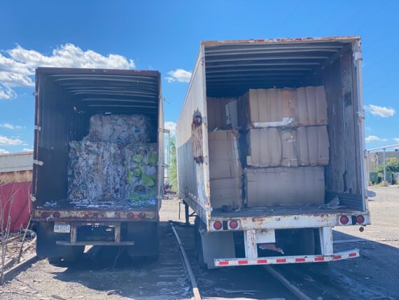
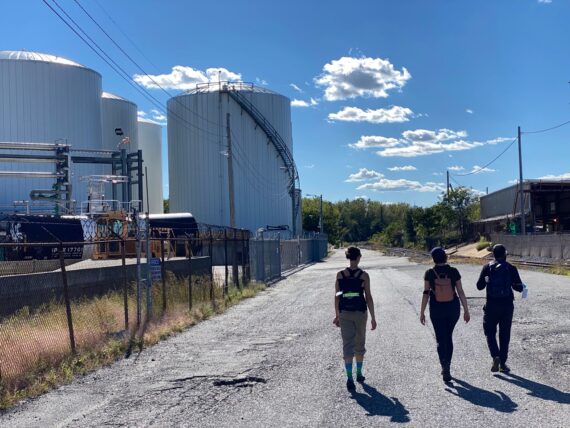
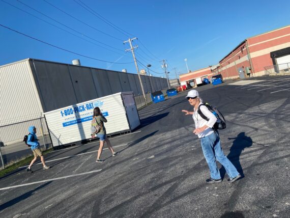
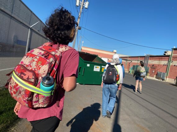
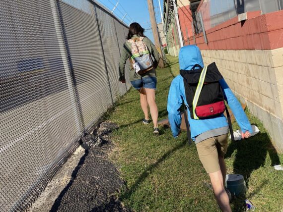
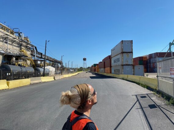
The group tries to get as close to the water / perimeter as possible, which leads us to bypass the residential sector of Bridesburg (which is also pretty cool) and instead venture into this industrial land…
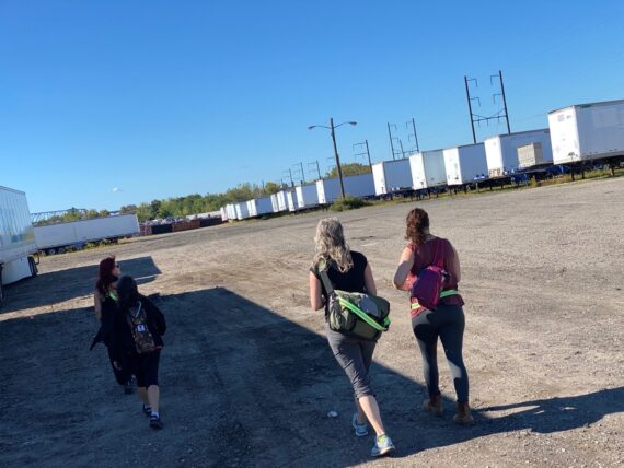
… where we walk amongst loads of parked truck trailers…
… before finding an access to the river.
(Remember, for these three perimeter segments, we’re never actually walking on the city’s border, as the actual line in the middle of the river. )
Jenny’s joined the walk again, this time with trekking poles – a good lesson from that spill taken in the creek during segment 5!
And so we continue past the trailers…
… and lots of old dumpsters…
… finding more river access spots…
… before venturing across this…
… large expanse of gravel and wondering…
… can we get through up that way?
… there’s only one way to find out…
… but the overgrowth looks pretty impassable…
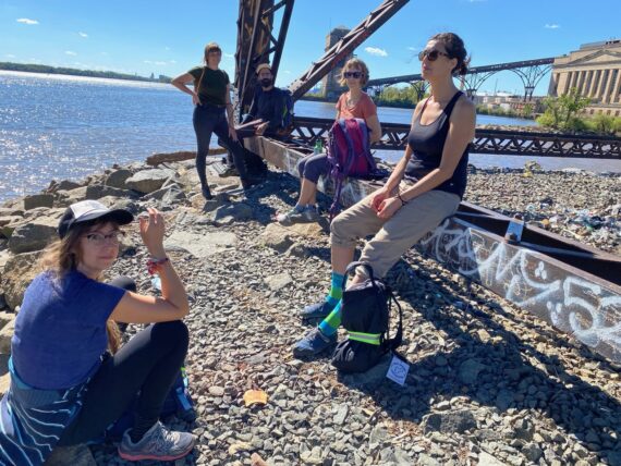
… and so the group doubles back to try a path down some rail tracks…
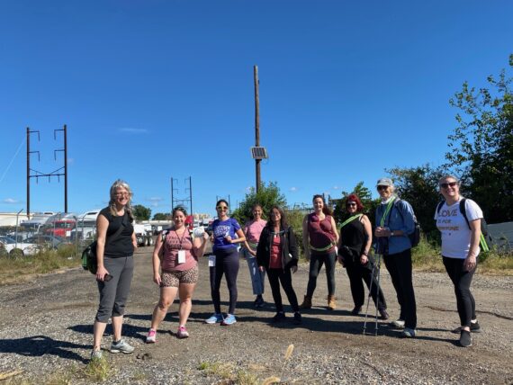
… pausing for a group photo before I send them off, because this seems like a good spot for me to double back to rendezvous with the second group.
(Here’s where I should have remembered to give a warning about one obstacle that I’d encountered while walking with my group during the SNF Paideia / Walk Around Philadelphia retreat that I’d facilitated just weeks earlier:
There’s a little piece of razor wire hidden amidst some vegetation up ahead, right at forehead height for someone tall like me, or like Lena there on the left.
I would later find out that Lena found it the hard way, with a nice little scrape and a bleeding head wound. Which didn’t stop her from continuing on and completing the day’s walk in good spirits. But this is why we sign liability waivers, pack a first aid kit, and generally proceed with caution!
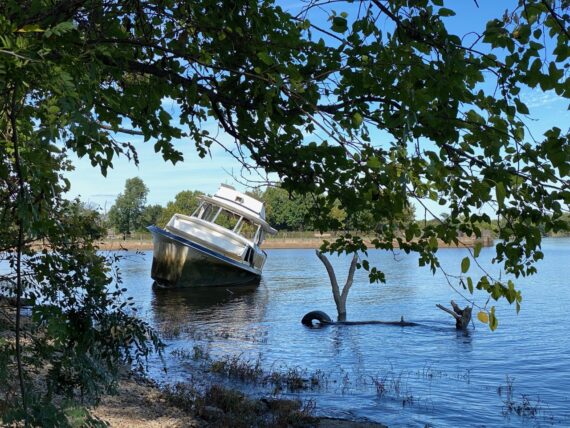
Heading back towards the rail stop while walking on the other side of the road I noticed this boat…
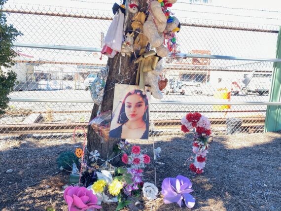
… and this memorial installation…
… before making it back to the station with plenty of time to welcome today’s second group.
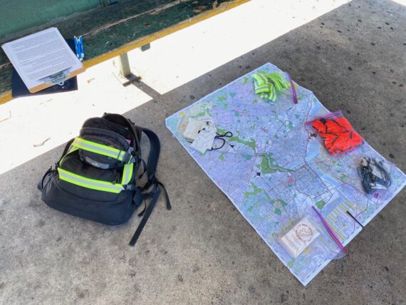
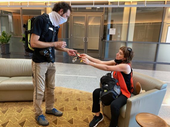
And so I laid out my supplies to await them…
… and soon liability waivers were signed…
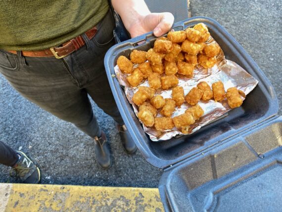
… and tater tots were shared…
… and group 2 was ready to set out…
… in a completely different direction, away from the perimeter, for a bathroom mission!
(Access to restrooms is erratic around the perimeter, so it’s wise to take some precautions and go early / where you can. This too brings up questions of privilege…)
Venturing forth into Bridesburg, with some sort of elevated gas / chemical pipeline in the background…
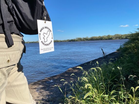
(and with a stylish Walk Around Philadelphia lanyards bearing the words “please help me find my way safely around the city’s edge”)
… Kate practices some balancing…
… and I’m always struck by the lone single houses that remain where it seems that a larger few blocks of rowhouses have otherwise been razed into a parking lot.
Our group zigs one block closer to the pipeline than the first group did, and so we notice…
… this sign written in English, Spanish & Russian.
Interesting combination!
The lone row houses seem out of place amidst this industrial landscape…
(A glance at an online map shows the property lines many regular rowhouse sized lots subdividing what is now just a large parking lot.
During a previous iteration of the walk, a neighbor had told us a story about how workers living too close to the pipelines had had an increased rate of brain cancers or some such, and that the chemical company had bought out the entire neighborhood and razed it to avoid future problems. Were these the last residents who refused to sell?)
While living near the industrial site might not be ideal, (and environmental justice is another theme that the perimeter experience touches on… ) we’re in good spirits as we pass by…
… trailers of recyclable paper…
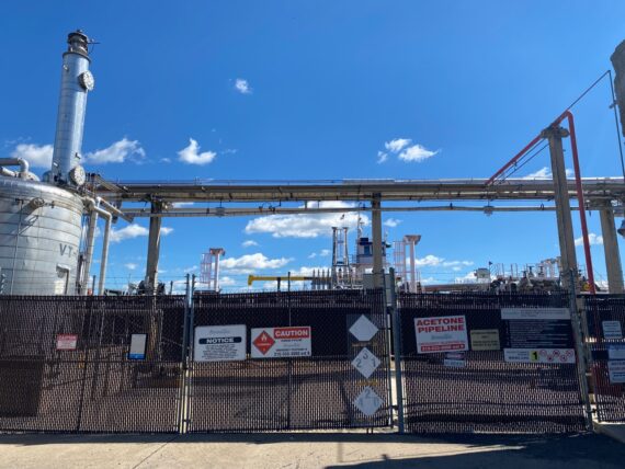
…acetone pipeline facilities…
… and find our way down to the river…
… at an access point that I hadn’t yet seen.
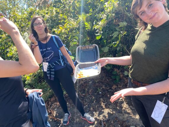
Jen generously shares the last of the tater tots…
(Bringing shareable snacks is a *great* way to participate in Walk Around Philadelphia)
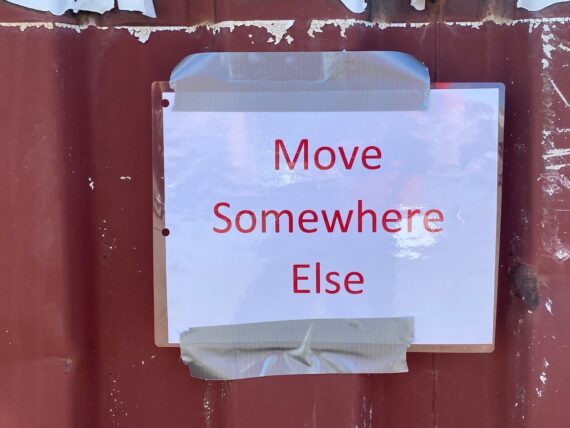
and this “Move Somewhere Else”sign strikes us as humorous…
Presumably it is not directed at us…
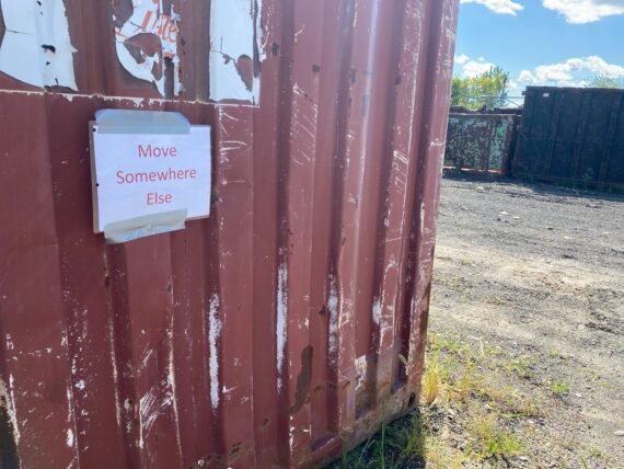
… but rather an instruction for whoever’s job it is to relocate these dumpsters.
We enjoy the sunshine in this vast industrial expanse…
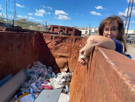
… and take a peek over the edge to catch a glimpse of a dumpster’s content…
… continuing on past tanks…
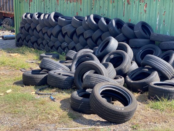
…. and tires…
… and back to the river’s edge…
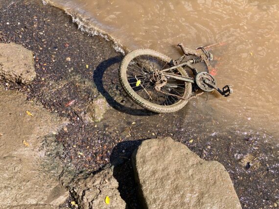
… where we find more tires…
… in the form of this submerged bicycle.
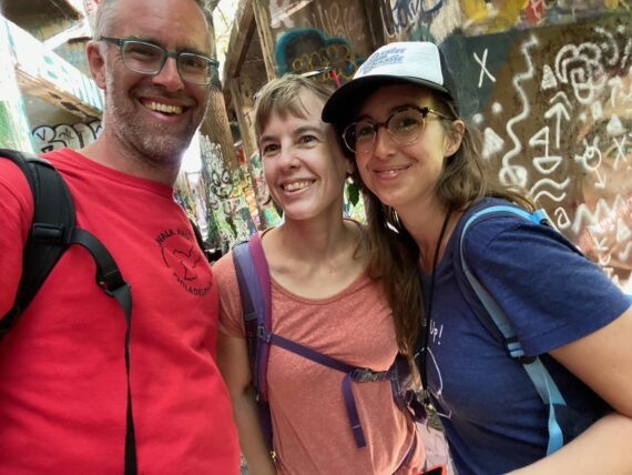
Elizabeth & Kate & I are the three core Philly participants in the sweet lil Social DisDancing online dance party, and earlier in the summer we took a road trip to New Orleans to visit some of our fellow dance party friends IRL – It’s sweet to be able to drag them along on this adventure.
(Elizabeth is a veteran perimeter-walker of other segments, but this is Kate’s first day on the adventure)
I climb up on some concrete wall to take a higher angle snapshot of our friends…
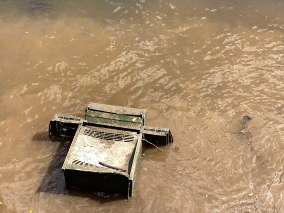
… but also of other mysterious objects sunken in the muck at the river’s edge like this grill…
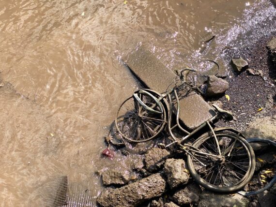
… and this other bicycle.
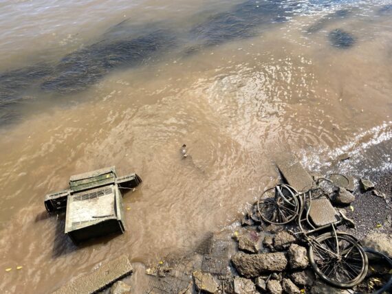
I found this scene quite surreal!
After a bit more of a pause at this interesting spot…
… and a selfie to send to our dance party friends…
… and some more observations…
… we’ve made it back to the point where I left the first group off…
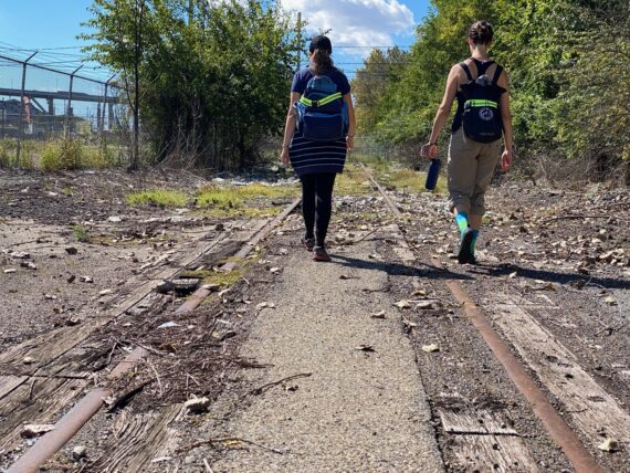
… and like them, we choose to follow the path down some old rails…
(Hopefully these too will eventually become party of the Delaware River Trail)
… passing by some strange little floating crane platform…
… continuing along the rails…
… which provide more opportunities for balancing…
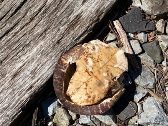
… and here’s part of a dead turtle’s shell.
(Death, ever a theme in the walk, would be more pronounced on the last leg this year with several dead deer…)
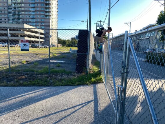
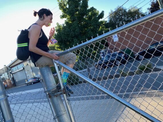
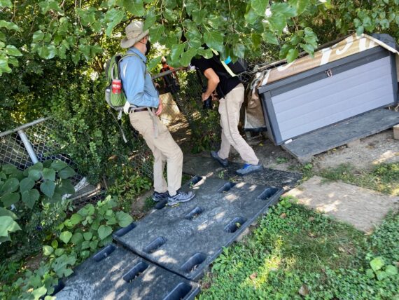
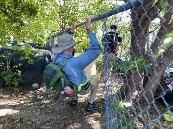
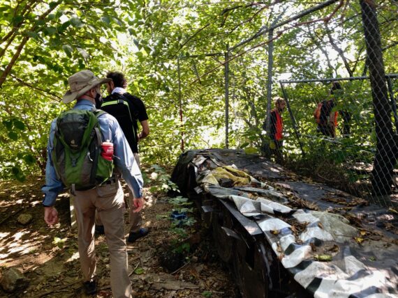
Up ahead we find ourselves trapped in behind a fence…
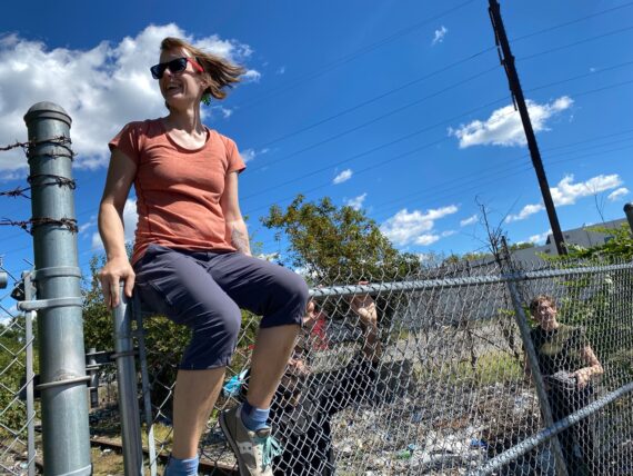
… which some elect to work their way over…
… while others go under…
… and others found their way around through a gap, and we all end up at the sign that confirms that some day this might be a continuation of the paved trail…
… alongside plans for a new riverfront park…
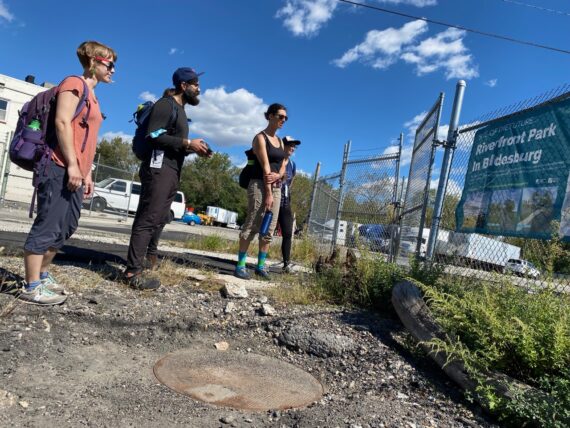
According to Riverfront North’s website, funds have been successfully raised for phase 1 of the park, and environmental remediation is scheduled to begin in early 2022, with construction beginning in the spring/summer for a spring 2023 opening, so we may see some changes here in future iterations of the walk.
Passing under the Betsy Ross Bridge, we weren’t close enough to the river to see the piles of abandoned gravestones at the foot of the bridge, but it seemed like a good place for a quick bridge-selfie…
(A Walk Around Philadelphia tradition is taking bridge selfies when passing under or over a bridge…)
And after we crossed the Frankford Creek…
Jen & Behdad spotted this path towards the water… a nearby defunct rail bridge was fenced off, but this road seemed wide open…
… and so we ventured forth towards this older-looking rail bridge…
This is another one of those moments that I love from doing the walk multiple times with different people… I’d walked past this place seven times, or eight if you include my individual segment with the Penn retreat in August, and I’d never noticed this potential access… or maybe it was fenced off before…
Either way, this was brand new territory for me, and another great humbling of any sense of ‘expertise’ that I might have developed from having already circumnavigated the city seven times.
And so we make our way onto this mysterious land along the mouth of the Frankford Creek…
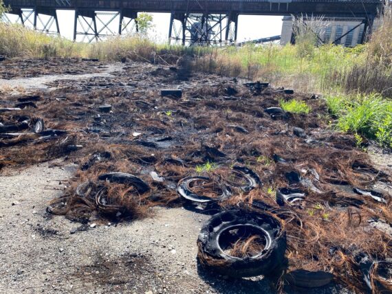
… we find evidence of illegally dumped tires, possibly set on fire?
The remnants of rusty wires from within them remind me of hair clippings on a barber shop’s floor…
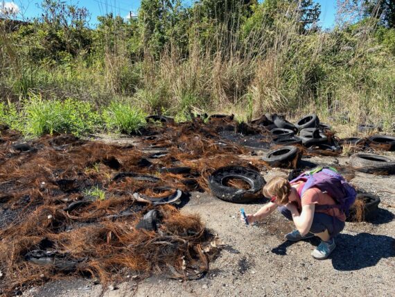
Certainly fascinating stuff to check out up close.
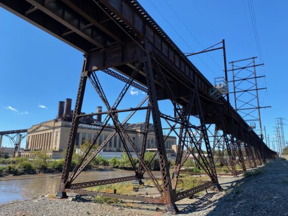
It’s great to find ourselves at the base of this old trestle bridge…
… and while everyone’s taking photos…
… including this pretty underexposed snapshot, I feel the need to give a disclaimer about these photographs:
While I made a career as a photographer for over a decade, these images aren’t exactly trying to be professional portfolio material – I’m just taking some snapshots with my cell phone while trying to focus on the experience of walking and being present in conversation with my fellow walkers… so please forgive the occasional underexposure or sloppy composition.
I’m not even optimizing the files before uploading, because that takes a bit more time than I have for this right now. If you’d like me to be able to devote even more time and energy to this kind of storytelling, you should definitely become a backer 😉
Elizabeth is very gracious in putting up with my random candid snapshots…
(There’s also some better lit images of her in the exhibit from the The Image of Yoga series now back on display this winter at Studio 34.)
… and Kari was enthusiastic about a pic under the train trestle.
There’s an awesome sense of scale around these structures…
… and some great vistas over the water.
We spent a bunch of time here, photographing…
… exploring…
… observing…
being photographed…
… sharing snacks…
… and being photographed some more…
… before heading on down past the electric generating station…
… on a nice smooth asphalt path…
… and past some more giant industrial structures.
Not pictured but immediately to the right of this structure is the Franklin Slag Pile – a superfund site full of lead among other things.
I only recently learned what that site was after having walked by it multiple times, and it’s another interesting perimeter feature that both the northeast & southwest edges of the city have toxic waste sites.
(We’d be walking by the Clearview Landfill in Southwest Philly on the last leg of this trek around the city’s edge.)
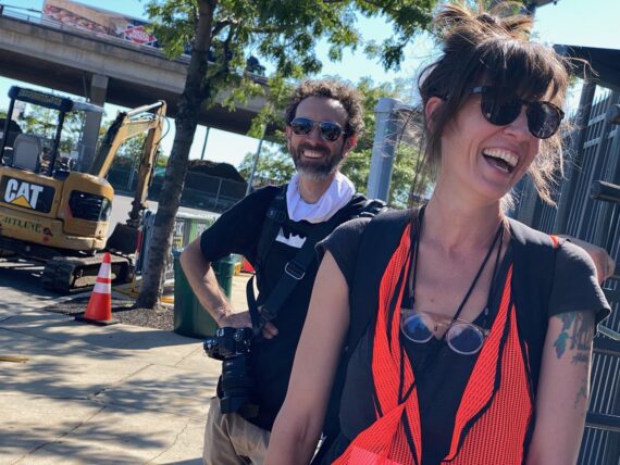
Meanwhile, this silhouette points to a thing you may have already guessed in the photos above, that Jen & Behdad are a couple.
Doing Walk Around Philadelphia is also a great thing to do with a partner…
Speaking of the walk as date material, as I finally got around to getting these recap posts online, an friend encountered a profile on an online dating site of someone who was in search of “Someone playful who also wants to walk around the perimeter of the city with me and is in touch with their feelings”… it is wild to me that with the continued press coverage and the like, the walk is becoming “a thing” that folks are just going out and doing on their own…
… and this tour is definitely not your average first date material 🙂
We stop for another little break at Pulaski park…
… and decide to follow this access road to try to stay closer to the river rather than heading into Port Richmond.
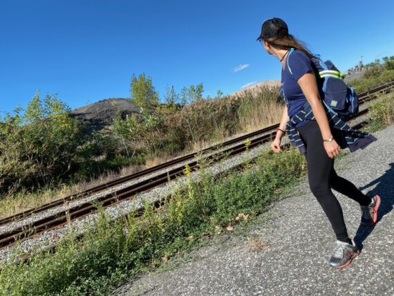
There’s big industrial-scale gravel piles on the horizon…
… and as we continue along parallel to these train tracks…
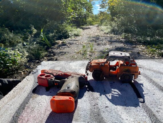
… we spot a road heading towards the river, with these strange toys left behind on a large cement block.
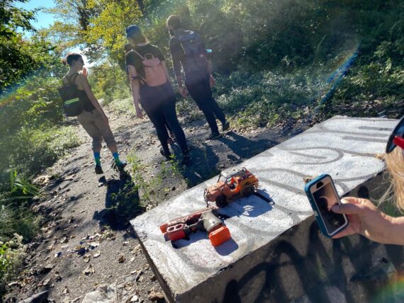
Remember what I said in the day 6 recap about strange objects that one would encounter along the way?
Kate & Kari both used to work together in the landscape architecture world…
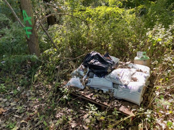
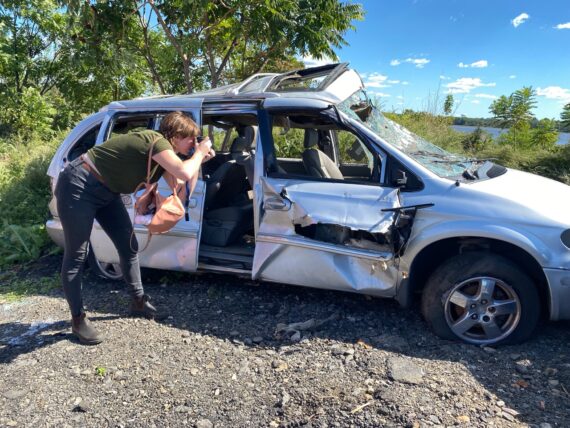
… but no amount of landscape architecture knowledge can explain how or why this pallet of heavy bags of sand were dumped in the woods…
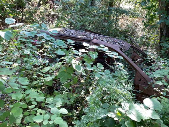
… nor where this burnt out minivan came from for that matter.
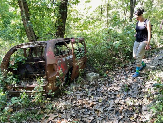
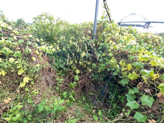
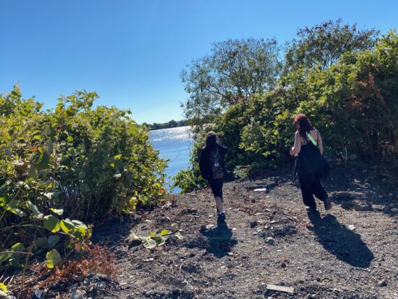
This is a strange patch of woods, where some scraps of metal and the like make it clear that it’s a former industrial site… and yet we’re again plunged into lush green nature.
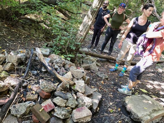
Other people clearly come through here, as this campfire circle attests.
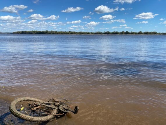
We’ve finally made it back to the water’s edge…
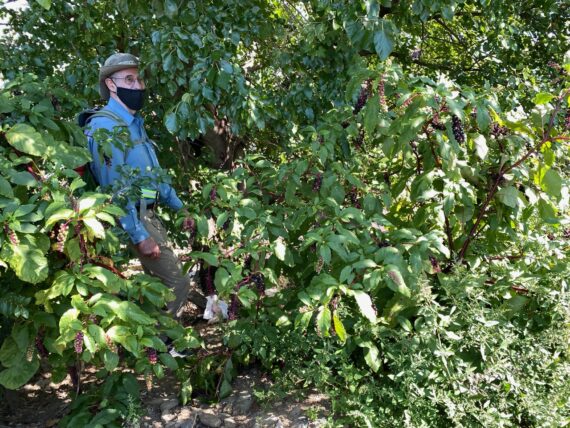
… where several nearby paper mulberry trees are full of fruit.
In pandemic times, there’s the obligatory reference to how these little balls with their seed protrusions resemble illustrations that we’ve seen of the coronavirus…
… and some folks are skeptical when I tell them that the seeds are edible (sweet and juicy and taste just like those other ‘regular’ mulberries…)
After a bit more tromping around in the woods, we make it out onto a pier that has some other visitors…
We’ve got our lanyard ready if we need to explain to anyone what we’re doing out here today …
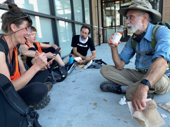
This is another great place to take a break and unwrap…
… some classic philly hoagies for a lunch snack!
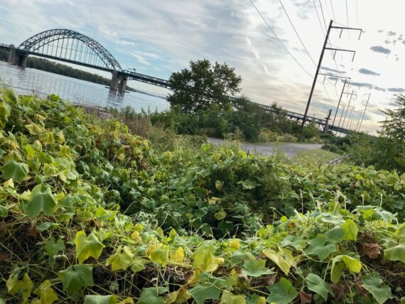
Just across the way, we can see the end of Graffiti Pier, and beyond it in the distance is the Benjamin Franklin Bridge.
There’s some paint on the trees here, but what’s really caught Kari’s eye is…
… the many invasive spotted lanternflies on the side of this tree.
I divert away from the group to visit another tree for other purposes…
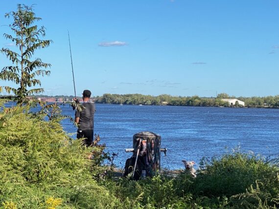
… trying not to disturb this person fishing with their dog…
And once our group is done their snacks, we find that we’ve arrived at Graffiti Pier right in time…
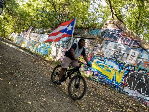
… to catch this fellow biking with a Puerto Rican flag.
(One of my favorite bits of walk timing is still this past February when we arrived at Graffiti Pier just in time to run into one of its informal caretakers, Ed)
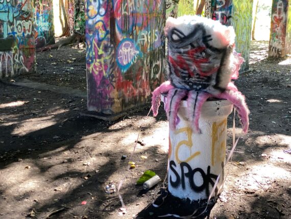
Venturing onto the pier, we encountered this sculpture…
… and as we began to take in the scene, we were far from the only ones…
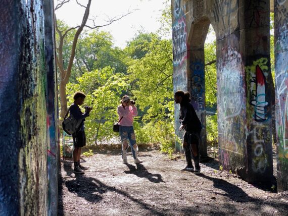
Folks were having a photo shoot…
… and others were adding a new layer of paint…
… and while Elizabeth was crouching low for a photo…
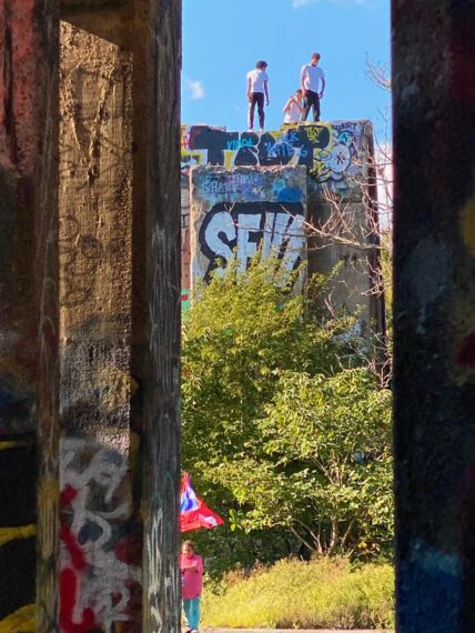
… some others had managed to climb high.
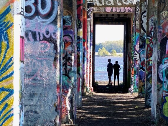
The pier’s structure creates some great perspectives and silhouettes…
… not to mention picnic spots…
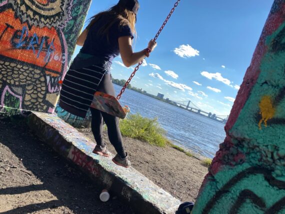
… or places to enjoy a swings…
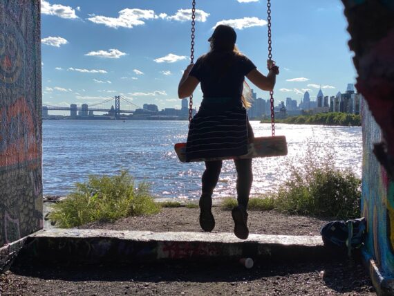
…. with a skyline view.
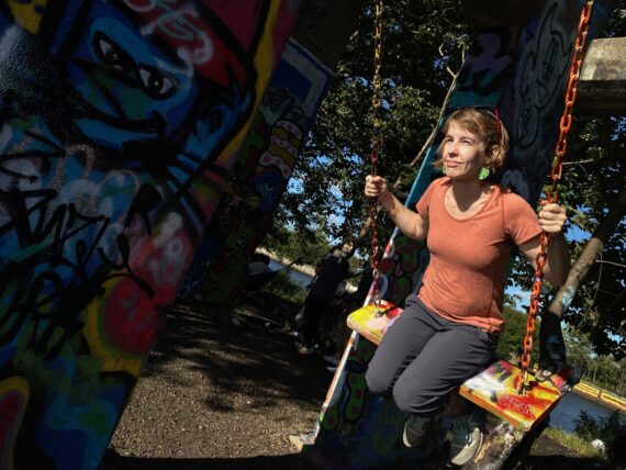
Everyone gets a turn on the swings if they want one!
(Note: there are plans to develop Graffiti Pier into a more official public park – hopefully these developments will maintain the place’s authenticity and accessibility by the many communities who already participate in it.)
I spoke briefly with these folk with the ladder, who were in the process of afixing a pair of shoes up high as a memorial for a friend whose life had come to a close.
Good friends a p are precious, and we took one more selfie to send to some of ours…
… before making our way out of Graffiti Pier…
… and into this big open swath of land…
… where new homes are being developed.
There’s major construction equipment…
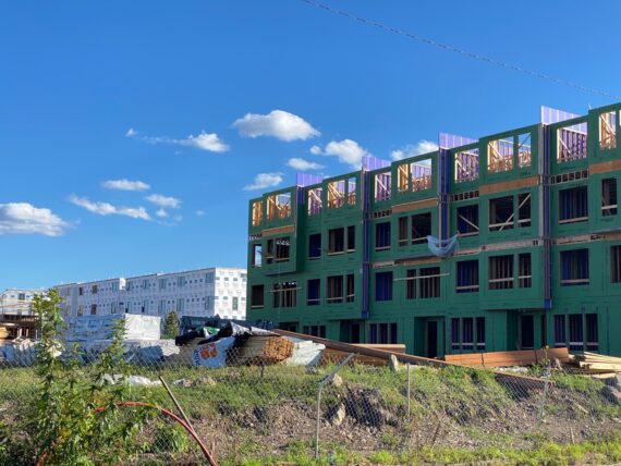
… and I’m struck by how much the site has changed over the past few years that I’ve walked by it.
I can’t help but wonder if the majority of the people who currently enjoy & care for Graffiti Pier will be able to afford to live in these new homes immediately adjacent it… probably not, right?
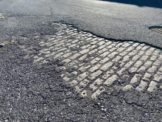
But the city is always changing, as we can see by this layer of stone Belgium Block revealed below the road surface.
We head on past some more illegal dumping and the next riverside electric generating plant (this one decommissioned and being converted into condos, I think…)
… and find ourselves in Penn Treaty Park, where tons of folks are out enjoying the sunny weather.
This is more people than we’ve seen all day!
We stop to read a plaque…
… and ponder this elaborate meal setting…
(There was a sign referencing something like “so & so’s Youtube debut!” – I’m not sure who they are or what they’re doing on youtube, but I wish them well…)
The river path continues back behind the casino…
Yes, that same casino that I did a lot of organizing against way back in ~2008 with Casino-Free Philadelphia.
While this one still was built, and eventually and more recently a second one came to Philly as well, at least we were able to help thwart the original plans that would have landed the city’s second casino license similarly close to homes on prime perimeter real estate further downriver, or in the heart of the city at what is now the Fashion District mall.
If you think of these sites as spots for “fun entertainment” and engines of economic growth rather than as a predatory industry whose business model is based on generating more losers than winners and that profits from exploitation of the poor and addicted, the Little Casino Factbook might still be worth a look. Or download this version to print, fold, staple & cut your own 16 page booklet.
At this point, our group split, with a couple members venturing into the casino in search of bathrooms, while Jen & Behdad were crunched on time for some evening plans and continued on ahead on their own. I’d thought they were going to peel off in Old City, but they ended up completing the whole segment as planned!
In the casino parking lot, this strange tent full of car-scanning cameras was an unusual security checkpoint…
… and we followed this side road which was closest to the river, only to find…
… that we were again trapped behind a gate!
This happens in several places on the city’s edge, where there are these weird three-sided configurations that you can accidentally wander into, and then find yourself fenced-in and forced to turn back.
Or, in Kari’s case, climb over.
Elizabeth & Kate and I tried to find our way back around…
or to squeeze through…
… leading to playful “I’m trapped!” mock-hysterics…
… but of course, the ‘Roomba Rule’ always works, and we find our way around the obstacles…
… and down past the Ben Franklin Bridge…
… to the Cherry Street Pier for bathrooms…
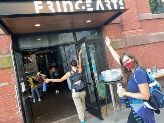
… and across to the FringeArts space for some water…
(It’s only fitting to be doing this fall’s walk as part of the Fringe Festival, given my history with the organization since I started documenting the festival in 2003, and the fact that their offices & theater are now on the perimeter itself, and that Walk Around Philadelphia is, after all, an invitation to explore the fringes of the city…)
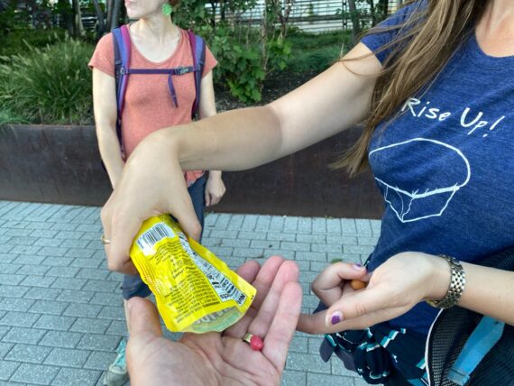
This is a great time to share a few more snacks…
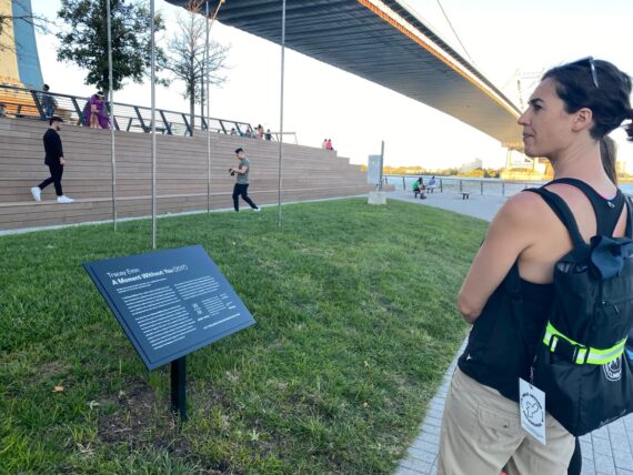
Before crossing back to the Race Street Pier…
…to check out the sculpture by Tracey Emin…
… which is silhouetted against the darkening sky…
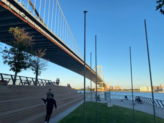
The sun is setting but we’ve still got a ways to go to reach the Pier 68 point where tomorrow’s walk will set out from.
And so we make our way past construction…
… and back to the river’s edge…
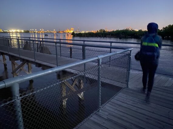
… where we take in the beautiful view…
… and and Penn’s Landing attractions, which are perhaps more conventional destinations than those we’ve explored today.
Also, it’s easier to find restrooms ’round here.
It’s always somewhat wild to visit this somewhat more familiar part of the city after having walked there by such a long and circuitous route.
As we pass the Penn’s Landing Hilton hotel, we pass by this ‘hope fence’ full of padlocks, which I know is inspired by the tradition of placing locks on the Pont des Arts in Paris…
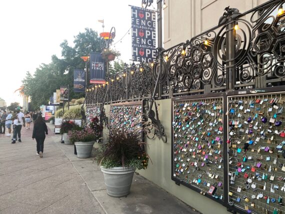
I’ve walked by it plenty and never given it much attention, but this time walking with Kate, she draws my eye up to the railing above which I’d never noticed…
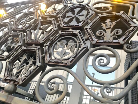
It’s really exquisitely ornate iron work (apparently a percent-for-art commission) – Kate knows the artist who made it, and tells me that the backside (facing the inside, private space terrace) is even more elaborate and beautiful.
Worth a look when you’re next down by Spruce Street Harbor Park.
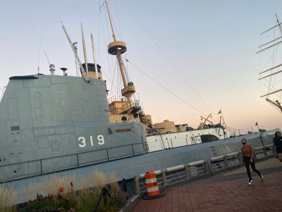
We pass by the submarine…
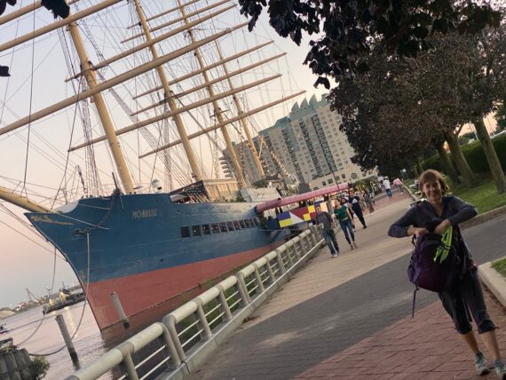
… and the sailboat…
… reaching the point where it’s time to bid Kari farewell…
… because this is where it makes sense for her to peel off to get home…
… leaving just the three of us from West Philly…
… to continue down one last stretch of Delaware Ave down to Washington Ave…
… where we peel off onto Washington Ave Green for one last little bit of green space…
… and also because heading out onto the Washington Ave Pier…
… gets us technically closer to the perimeter…
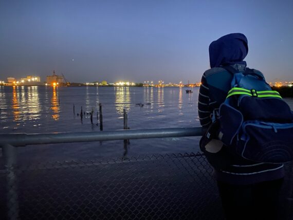
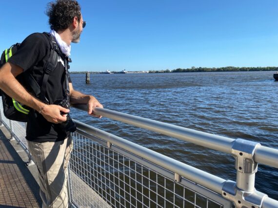
… and a beautiful view out over the river…
… where there’s large industrial sites over there in Not-Philadelphia (aka Camden, NJ)
One last surprise as we pass another abandoned pier… there’s a bunch of activity in the dark, the sound of something on wheels being pushed over concrete, and more approaching young folk garbed in a bit of a punk-rock aesthetic… looks like there’s going to be a secret concert here tonight and I kind of wish that I could stick around to check it out…
… but we’ve finally made it and it’s time for us to get back home…
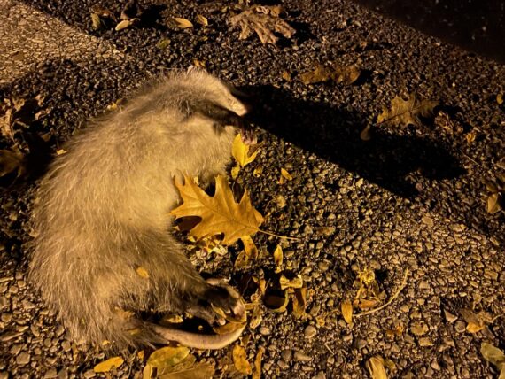
… spotting one last dead thing on the way.
(Reminder: it’s on next weekend’s segments that I’m predicting we’ll encounter dead deer and other such…)
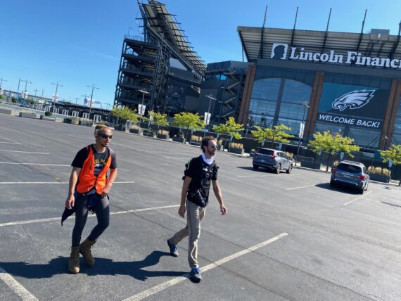
Segment 8:
Pier 68 towards Airport
Here we go again, making this a three day weekend because there’s one more segment of the Delaware part of the border to follow.
To get back to Pier 68 where we left off the preceding night, I just had to walk a couple blocks to catch the #64 bus (thank you SEPTA!)
… a few blocks later, fellow perimeter walker and neighbor Chloe hops on board.
This perimeter bus ride is another moment of noticing racial differences in the folks riding the bus on an early Monday morning (almost all Black folk) and the folks participating in this project to-date (a much whiter crowd.)
When doing the February iteration of this walk, I time the start of this segment to be on the Delaware in time for sunrise, but here the sun’s already high.
In September the sunrise is earlier, and since this is a Fringe event open to the public, I figured I’d make the start time a little bit more reasonable to give folks time to get here.
Plus, we’re only aiming to get to the airport today, whereas in the February walk we’d be trying to do about double the mileage, getting to the airport and then all the way around it in one day.
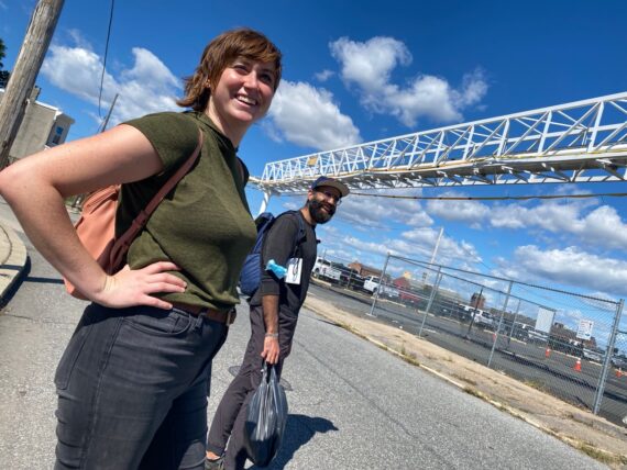
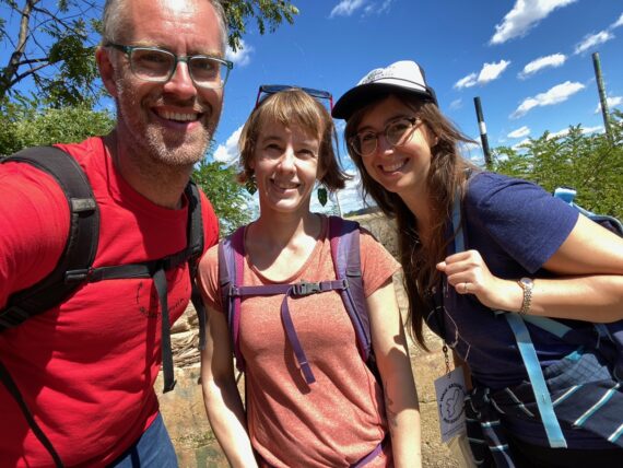
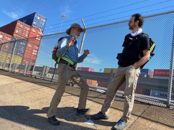
We’re joined here by Obert, and I’m excited to meet him.
He’s been undertaking the perimeter walk solo via the “DIY / choose-your-own-adventure” option this fall, and actually recently just completed the entire circuit.
He’s come back to walk this segment again in order to see what it’s like to walk with one of the groups. I find myself wishing that I could walk longer with him today to hear about his experiences on the rest of the perimeter, but I’ll again just be accompanying this group for the start before doubling back to walk with the day’s second group.
This route segment has a couple of challenges… the perimeter continues to be in the middle of the Delaware river, but following it requires crossing the Schuylkill again. There’s also relatively inaccessible segments of the Navy Yard along the way, so several questions as to which way the walk will unfold.
After a round of introductions and some preliminary conversation about the city and the walk…
… Group 1 is ready to go…
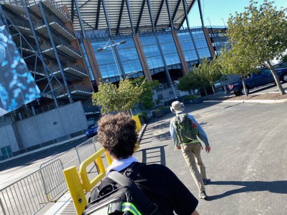
… with me accompanying them for the first leg.
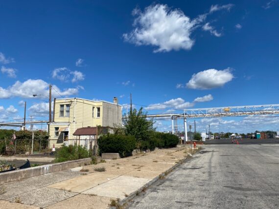
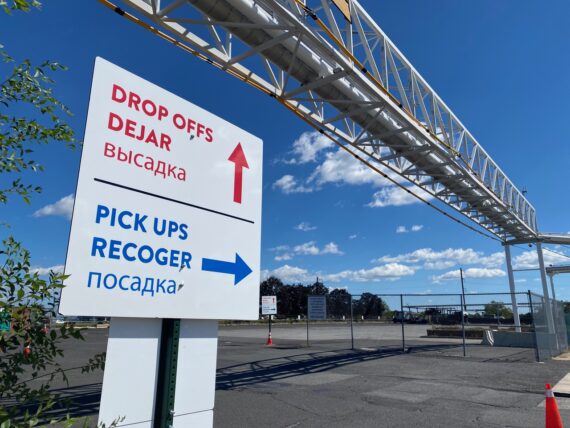
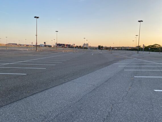
We set out from the shopping center parking lot…
… making our way along the river trail…
… to a parking lot that I’m confident is a dead end.
Every time we’ve wandered this way in the past, we’ve had to double back and go out of the front of the shopping center…
But I’m not trying to give too many directions here, and our group is intent on following the edge of the parking lot to where the fence hits the building…
… and there happens to be an open gate!
The group presses along…
… but finds another gate at the other side of the building, this one closed.
We may have to double back, but that’s all part of the zigzag adventure of the walk.
But lo and behold, it’s unlocked!
Since this just brings us around the building onto the main road, it seems like a fine place to cut through…
… bringing us further down Delaware Ave by the SS United States…
… and continuing along the edge of the road with shopping centers to our right…
… and a big “secure area – TWIC required” fence on our left.
Much like up near Penn Treaty Park on yesterday’s walk, there’s old rails…
… and exposed Belgium Blocks and another power plant. (This one still active, I think.)
As always happens when we set out on this adventure, conversations are starting & connections are forming easily between folks who were strangers moments ago but are now fellow pilgrims on the walk.
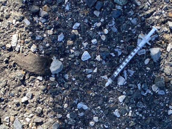
Meanwhile at our feet are needles…
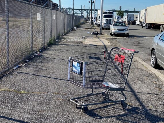
… and abandoned shopping carts and more.
I’d love to keep walking with this kind crew…
… but it’s already time for me to double back…
… to rendezvous with Group 2!
As we review the map…
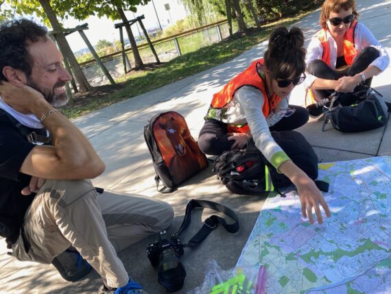
… Sara talks about where she grew up in the city…
… and how she loves how this project invites us to consider all of the many different types of spaces that are all part of Philadelphia.
(She grew up in a part of the city that some of her friends didn’t consider “the city”, and it’s important to her to remember that “no, this too is Philadelphia…” – that’s what Walk Around Philadelphia is all about!)
A kind passerby (who is also a photographer and I swear I recognize from somewhere…) takes a group photo for us before we head out…
… and we head southeast along the river’s edge towards that same parking lot that Group 1 found their way through earlier in the morning…
… except that this time Bruce really wants to stay as close to the river’s edge as possible.
There’s another set of cat villages here…
… and as we ponder our options here…
… Bruce and Mike really want to go exploring close to the water’s edge…
… where clearly others have already found their way through these parts.
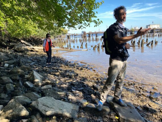
As we explore past the cat villages, I find myself feeling skeptical again…
It’s another one of those cases where I feel like I know what’s ahead (a secure port facility, which means there certainly won’t actually be a way through along the river’s edge) and that we’ll have to turn back.
Still, I’ve never been down here…
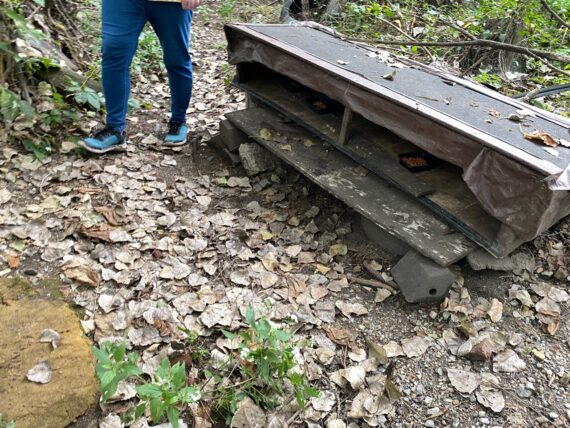
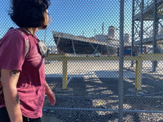
… and so am as surprised as everyone else in the group when we encounter…
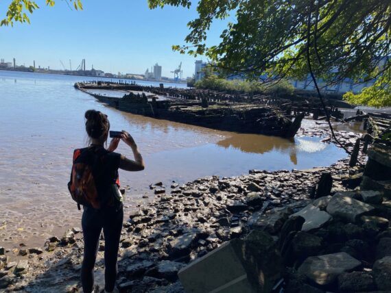
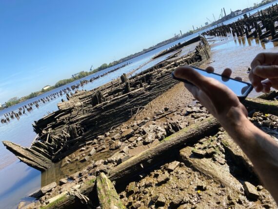
… the sunken hulls of some old wooden ships!
Mike happens to know what we’ve just come across…
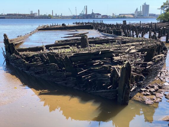
… Philadelpia’s “Dead Fleet”!
Hidden City has a great writeup of the history of these ships and how they came to be abandoned, then eventually burnt down to their waterlines…
This is another classic Walk Around Philadelphia experience. I’ve walked by here so many times and *never had a clue* that these ships were right here. The city keeps revealing itself in surprising ways…
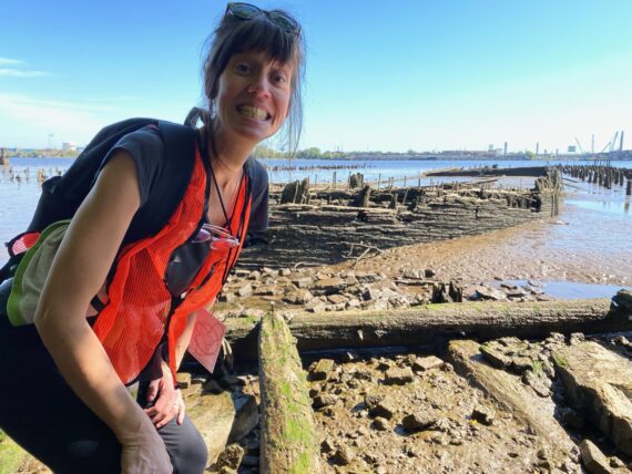
It’s quite a sign to behold, and we were lucky with our timing, as they’re only visible at low tide…
A few weeks later Sara would send me this little perimeter note:
I just wanted to share a few notes from my brief visit to the perimeter today: Bruce and I went to Walmart, a rarity, and he suggested we do the little walk up the river to Washington Ave but, note 1: it was closed! There are Private Property and No Trespassing signs all over a new chain link fence…was that there last month when you walked it? It said Construction Zone, so I guess they are finally starting some development there maybe? I dunno.
So then I said let me show you the three old boats (the “dead fleet” I think Mike said they are called) down past the cat colonies, and he agreed. So we opened the little gate like Xavier and I did, stepped inside, and, note 2: once inside the cat colony, we were face to face with two red foxes! They stopped and looked at us for a while, walked away a little bit but stopped to look some more. They were very very skinny and a lot bigger than a cat, but I think they had red fox coloring. Either that or they were coyotes, but I think they were foxes.
So then after our long stare with them, we continued through the cat colony and out to the river bank, but not only could we not get down to the river because the water was so high, we couldn’t at all see the boats. Which makes it all the more luckier that our group saw them on our perimeter walk — I guess they spend a lot of their time completely submerged.
Every perimeter experience brings different surprises!
We did in fact have to turn back as there was no way past, but I was grateful for this discovery and glad that I followed the group’s curiosity rather than saying “Oh we can’t get through there!”…
In general, I try not to let my experience of the terrain influence the group too much, but here they did ask me if there was a way past the shopping center…
… and so I shared what I’d learned with the mornings group…

… and we found our way on back to Delaware ave.
It was interesting to walk by the active shipyards in these times when the news keeps talking about supply chain disruptions…
and to learn about each other…
… as we learn about the city.
One surprise discovery:
Xavier here was born in Silver Spring MD (me too!) and attended the Washington International School (me too!) and *had my mother as his teacher* !!!
For all that Philadelphia is vast and expansive, it can be a pretty small world sometimes too…
As Sara points us forward…
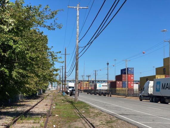
… we pass more cargo containers…
… and pause for a bridge selfie under the Walt Whitman Bridge…
… before passing by even more containers.
It’s the busiest / most active that I’ve ever seen this area…
(…possibly because of the aforementioned supply chain issues, or maybe just because it’s a Monday and most times I’ve walked by here on a weekend day…)
… and we weave in between parked cars and idling container trucks.
We’re all in good spirits…
… and enjoying getting to know each other…
… as we reach the southern edges of Delaware Ave…
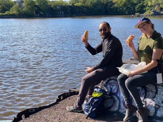
… and take a little pause for snacks and stretching…
… and here’s where you get a nice example about photographic framing:
Is Xavier hanging out in the woods or…
… in an industrial zone?
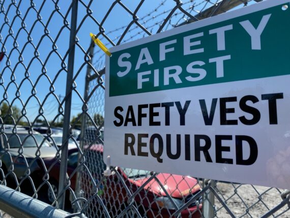
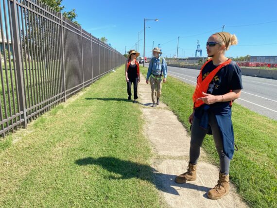
From here on out, the signs say “safety vest required”…
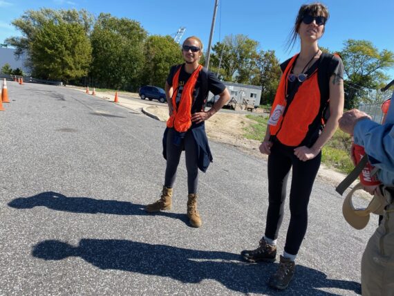
… conveniently, we happen to be wearing ours 🙂
Up ahead are some gorgeous industrial storage domes that I’m quite fond of, and I’ve sometimes been able to walk further past here, but today a security guard turns us back…
… and so we find ourselves walking back up towards the Walt Whitman Bridge.
We end up having to backtrack quite a bit…
… alongside all of these rail lines that I’d never noticed before…
… before being able to cross the road…
(Note: this was pretty safe, as these trucks were all idling / moving extremely slowly)
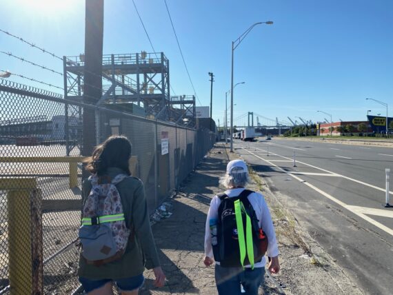
… finding ourselves on the westbound segment of Columbus Blvd.
There’s strange things here: in some parts of the city, there’s Delaware Ave, in some parts it’s Columbus Blvd (w/ some complicated things around that naming) and in some parts like here there’s both, with Delaware continuing North-South & Columbus curving Westwards.
This is one of those not-so-pedestrian-friendly spots, with a bike lane but no sidewalk…
… we hop up into the grasses…
… and follow the fences of the wastewater treatment plant…
(Saturday’s walk along the upper Delaware had taken us by the Baxter water treatment plant, where water from the river is taken in for us to drink… and now here further downstream the Southeast pollution control plant prepares water from the city to return to the river… Pre-pandemic, they offered some great public tours of this facility, which I’d recommend whenever they’re available again.)
… where we found a little spot of shade for a lunch break.
Perusing one of the segment maps…
… we found that we’d come a long way but still had a ways to go before being able to get into the Navy Yard & across the Schuylkill.
Tiny detail not visible in this snapshot: a wisp of smoke coming up from the base of the trees, and the smell of a campfire…
We continued on past fence, now with a sidewalk to follow…
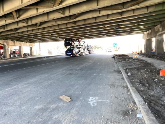
…passing under I-95…
… which meant that it might be another good moment for…
… another bridge selfie!
We crossed to the south side of the street for a bit more shade…
(bonus: technically a bit closer to the perimeter too, although at this point we’re still quite far from the actual border line.)
We make our way through wide open lands where a new warehouse is being built…
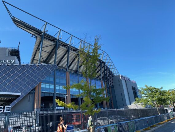
… and approach the stadium complex…
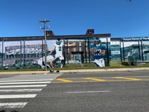
… where we catch a glimpse of my neighbor Jon Laidacker’s panoramic Eagles mural… it’s one of the largest in the city, although of course the largest one is my How Philly Moves mural at PHL Airport.
The HPM mural is also a wide panorama, and also painted by Jon, who was the lead muralist on the project. If all goes according to plan, we’ll catch a glimpse of it at the end of our day’s walk.
We follow Darien St down along the stadium, as on the map it looks like it wraps around behind the stadium and would connect us to 11th St…
… but there’s a locked gate and it clearly becomes a stadium access road from there on.
We have a moment of pause and frustration here at the edge of the highway…
… wishing we could find our way through here …
(I’d later find out that apparently somehow the first group did somehow find their way under this stretch of highway…)
And so here we are, stuck…
… a bit weary from the long monotonous stretch in the sun and really not wanting to have do double back all the way to Pattison Ave…
… but it looks like that’s what we’ll have do do as we double back along the stadium…
… unless Bruce can convince this person at the security checkpoint to let us walk through the south side of the Stadium.
We appreciate his efforts, but they’re in vain, so we have to continue back north, further away to the perimeter…
… but this gives us another opportunity to pass by the warehouse that Jon’s Eagles mural was on, allowing Sara to point out that this is the location of the wholesale restaurant supply store that she uses to supply Comfort & Floyd, the sweet little brunch place that she and her husband run at 11th & Wharton. (highly recommended!)
Yes, that’s the location formerly known as Carman’s Country Kitchen (where I used to work waaaaay back in the day…)
Meanwhile, Bruce has caught a glimpse of another opening into the stadium parking lot and thinks that we might be able to make it through here…
… this is a bit of a gamble, as the lot seems deserte, and if the other gates are all closed, then we’ll be forced to double back even further…
… but as we come ’round, we catch a glimpse of an open gate on the west edge…
… and so we continue on our adventure…
… now finally under that next stretch of I-95…
… passing underneath the highway for a short stint amidst the trees…
… before finding a place…
… where we can emerge onto the edge of Broad Street…
… stopping to look over the freight rail tracks…
(in other walks, some have found their way along that path…)
… we make our way into the Navy Yard…
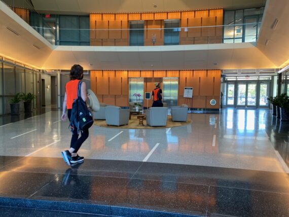
… detouring via an office building’s lobby…
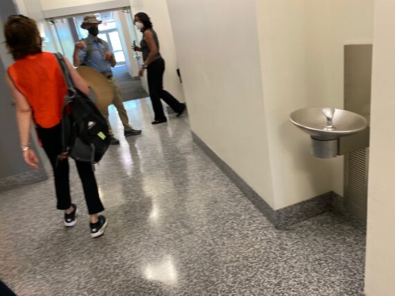
… where we use the bathrooms…
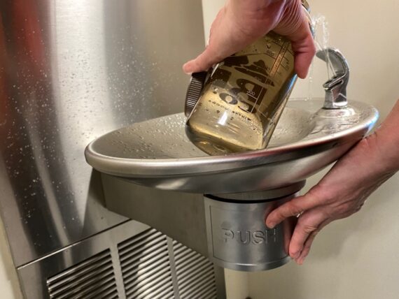
… and refill our water bottles.
As we take advantage of this privilege…
… we’re mindful that other folks who might look different than us might encounter more problems just wandering into this building and hanging out in the lobby.
We don’t stick around too long, but do take a moment…
… to share snacks…
… before continuing on…
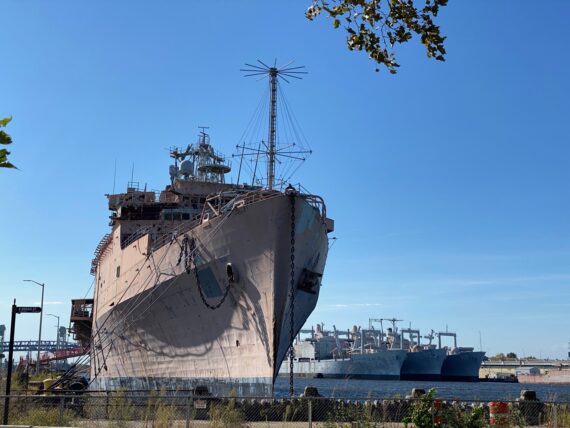
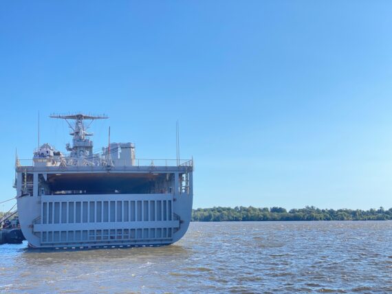
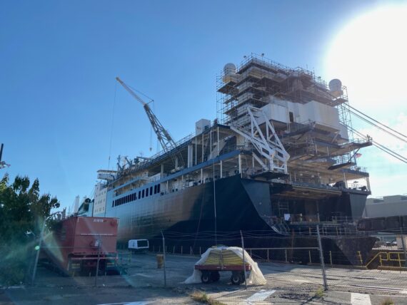
… past big military ships…
… on to the water’s edge.
The perimeter’s out there somewhere, midway between us and New Jersey.
So here we are in the southernmost end of Broad Street…
(You might remember the northernmost end at Cheltenham Ave from the recap of the first weekend’s walk…)
… there’s weird structures here…
… and another good spot for a break…
… and I could swear that this wasn’t always full, but all of the memories from past walks blur together and I’m not sure when I’ve seen this dry dock basin drained.
We look down into the big pool of water…
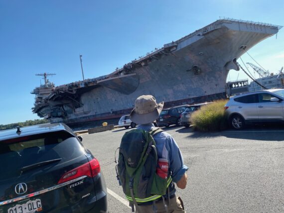
… and then up at the giant aircraft carrier…
It’s quite a sight…
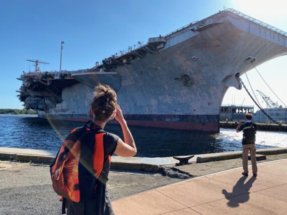
… so we take lots…
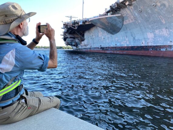
… and lots of pictures…
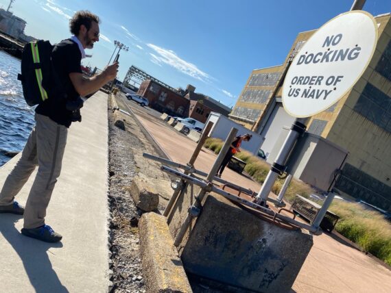
… including of the signage – no docking here!
Of course I’m generally more partial to photographing humans…
… although I’m curious about the structure and function of this particular boat…
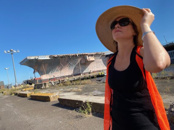
… but while we’re here let’s get a shot of Leah in front of the aircraft carrier…
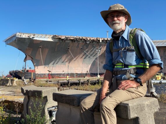
… and Bruce…
… and why not Xavier while we’re at it. 🙂
Up ahead are warehouses of assorted flower planters, presumably associated with the nearby Urban Outfitters headquarters…
… who’re apparently having a fashion photo shoot here, which Bruce went and poked his nose into.
The shipyard side of things offers a whole different sense of massive scale…
… and I’m still curious about these boats with big flat fronts.
Here we notice some pandemic-era modifications in picnic table seating capacity…
… and peer nosily into the window of what seems to be a cafeteria or break room…
… before making our way across the 26th St Bridge…
… and back towards I-95…
We’re heading directly away from the perimeter here, but we’ve got to find our way across the Schuylkill River. Since the I-95 bridge doesn’t have a safe accessible footpath, we’re making our way towards the Platt Bridge.
Note: The I-95 bridge does actually have a pedestrian catwalk underneath it, and I’d love to walk it someday, so if you know how to get permission & access to it, please do get in touch…
Under I-95 again, it’s time for another bridge-selfie before…
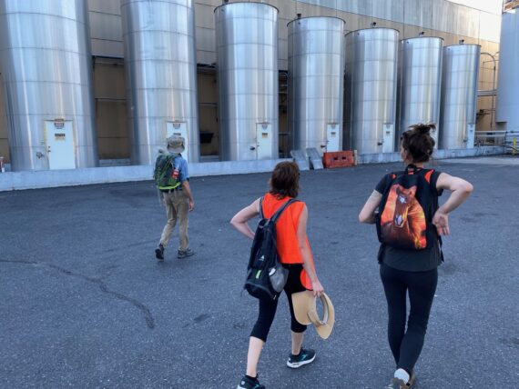
… we venture into the TastyCake factory…
… to discover their secret ingredients…
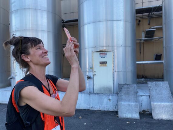
SPOILER ALERT: They’re written on the side of the silos and include:
- Sucrose
- HFCS (High Fructose Corn Syrup?)
- Cake Oil
- Pan Grease
- Filler Fat
- Pie
… and a few others you’ll have to discover on your own. But the silo labeled “Pie” always makes me laugh…
Up ahead the road is closed for construction…
… but the sidewalk’s wide open so we continue on…
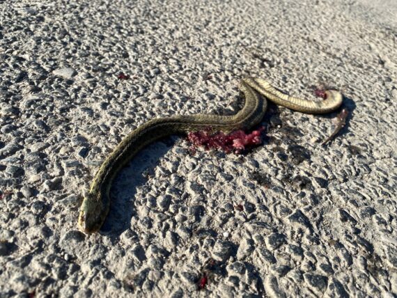
… past this poor recently flattened little snake…
(Hey I warned in that intro video that the Walk Around Philadelphia experience would include encountering dead things, right?)
As we approach the base of the Platt Bridge…
… we find ourselves at a brand new Wawa convenience store & gas station…
… a good place to ponder snacks…
… and take another break…
… to rest our weary feet…
(An employee did come out quite swiftly to tell us that we couldn’t loiter here despite our having purchased a bunch of snacks and beverages… apparently sitting on the ground here is unseemly but they didn’t think to put in benches for pedestrians here. Which makes sense because there’s really not many reasons to be on foot here unless you’re doing the walk…)
We’ve covered a lot of ground!
We’ve also taken enough time that we have to bid Xavier farewell as they have to get home to take care of a pet, and won’t be able to join us for the bridge crossing. We’re cutting it close for Sara & Leah’s timing as well, but they’ve arranged a pickup on the other side of the bridge.
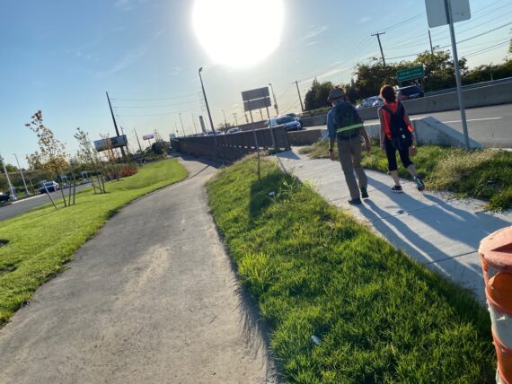
From here we set out across some brand new sidewalk…
Last September, during the pandemic “organize your own pod and choose your own adventure” iteration of the walk, this new Wawa was still being built, and construction prevented at least one walker from accessing the bridge here. He was forced to use the Roomba Rule to find his way all the way around to the next bridge at Passyunk Ave, but a few days later I came by on a weekend when the crews weren’t at work and found it easy to continue on across… every experience is different, and I’m hoping to explore the Passyunk ave path some other day…
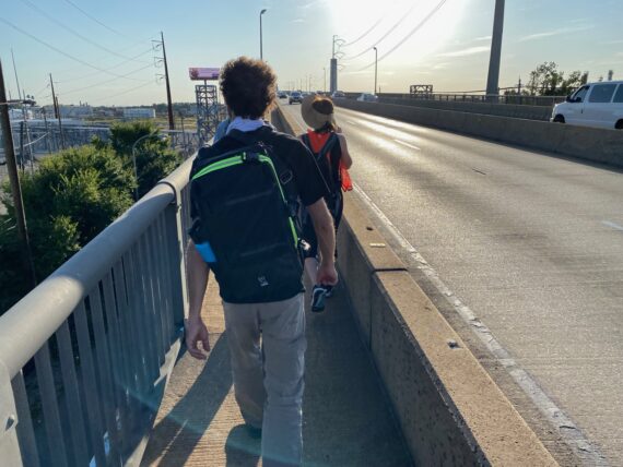
As we set out on the bridge’s footpath…
(NOTE: the southern footpath adjacent the gas station feels fairly safe, but I wouldn’t recommend the northern one which dumps you out on the on-ramp to I-95)
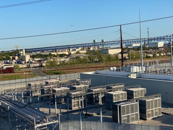
… we get views of industrial landscapes…
… this is the refinery facility that has been shuttered ever since last year’s major disaster when Philly dodged a minor apocalypse where a giant potentially lethal gas cloud could have been released over a million people…
I wasn’t really expecting to be able to see much evidence of the explosion from here…
… but then I noticed this…
Wow.
If you skipped the above linked article, here’s the short version: I am super grateful to the quick-thinking night-shift operator who did her job impeccably and speedily redirected the contents of a tank of hydrofluoric acid near the fire, potentially saving my life and that of all of my neighbors…. thanks lady!
The entire plant is slated to be dismantled and turned into a new warehouse development, so we’ll be seeing all sorts of changes here during future iterations of the walk…
In the meanwhile, I find this contrast of nature and industry quite beautiful in the evening light…
… and apparently Mike does too!
Near the top of the bridge, we’re walking on grates over the river…
(If you’re scared of heights, this is the part where you probably don’t want to look down…)
Sara’s really glad that she pushed her timing to allow for the bridge crossing…
… the views are pretty spectacular…
… and the top requires one last bridge selfie…
… before we start heading back down…
… taking in all the details…
(like my little shadow self-portrait in the bottom right corner…)
… like all of these colors as we’re yet again under I-95.
Drivers here rarely see pedestrians on this bridge…
… but here we are at the other end…
… as the sun is setting and we’re almost at the rendezvous point…
… where Sara & Leah are getting picked up…
(Can you tell that they’ve had a good time?)
… Bruce catches a ride back with them, which leaves just Mike & I to find our way into the airport.
This is another thing that I’ve never done, as my past walk segments have been longer chunks, and I’ve gone straight from the bridge around Hog Island Road for the looooong way around the airport, approaching it from the Terminal A-East side.
I’ve saved Hog Island for next weekend, so how to approach the nearer side of the airport from here?
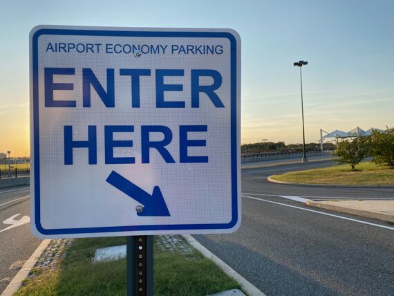
We decide to follow this sign’s clear instructions to “Enter here”…
… and we’re now close enough to the How Philly Moves mural that we can start to make out the first figures if you know where to look…
That’s Michele, Bob & Mafalda, and I can barely make out Yemi & Cesar… of course it’s all still a blur from here but I’ve stared at those images long enough to have them etched in my brain forever.
I don’t know if I’d recognize Yemi these days as she must be so grown up from that tiny little baby ballerina that I photographed in 2010, but I was delighted to recently run into Mafalda in Clark Park – I photographed her in 2008, when How Philly Moves was just a little self-produced project kind of like Walk Around Philadelphia is now.
But just like pulling off the city’s largest piece of public art, scaling the walk up to make it more broadly accessible and better resourced is going to take some serious investment. Funders, please get in touch.
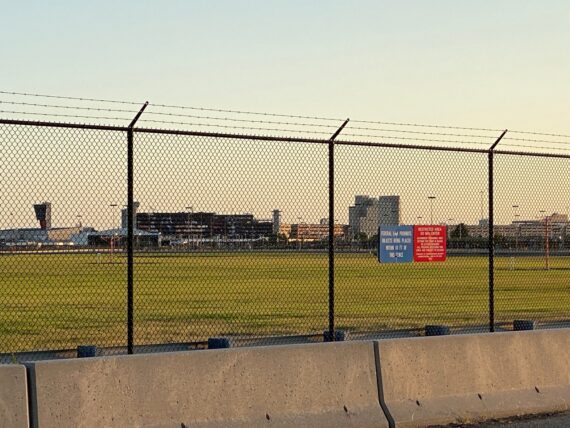
We find this path around the runway…
… only to encounter this fence which forces us to hop over the barrier and walk along the road…
… but that’s not too dangerous as the economy parking lot is shut down…
(I’d later learn that the shutdown that began with the pandemic has become permanent and that there are plans to develop this land into more warehouse type space.)
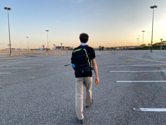
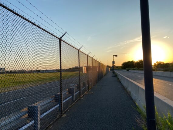
We stride across the vast expanse, trying to figure out where we’ll exit the parking lot…
This sign seems promising…
… but then we notice that that path may take us back alongside traffic in a not-so-pedestrian-friendly place…
… so we continue across the parking lot, hoping that we’ll find another gate leading out…
… and we do!
As I mentioned above, this is my first time approaching the airport from this angle, and so it’s my first time of experiencing this vantage point that is very special for me…
I’m delighted that my two largest and projects (this 85,000 sq ft mural and this ~100 mile circumnavigation of the city) actually end up intersecting in physical space…
… right here!
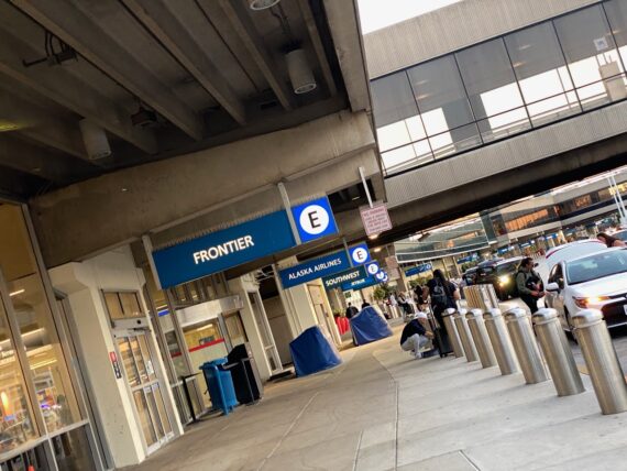
It’s real strange to arrive at the at the airport on foot…
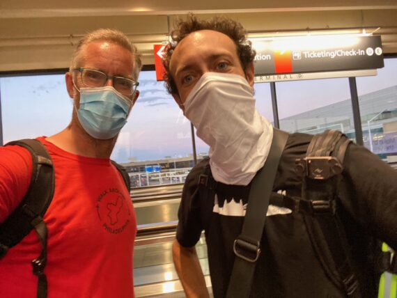
… but we’ve made it…
… and covered a lot of miles!
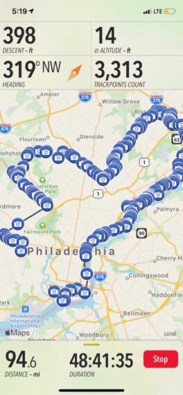
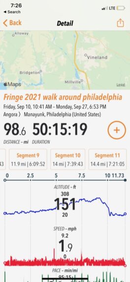
You’ll note that we’re already almost at 100 miles, and there’s a whole other weekend with two more ~10 mile segments to go, and in fact this iteration of the walk would end up being ~118 miles with all of the adventure detours. Today’s walk ended up being 14 miles!
Mind you, I’m only logging the mileage that I walk with the second groups, so I get a few bonus miles each day as I set out with the first group and then double back to meet the second. That’s a lot of walking!
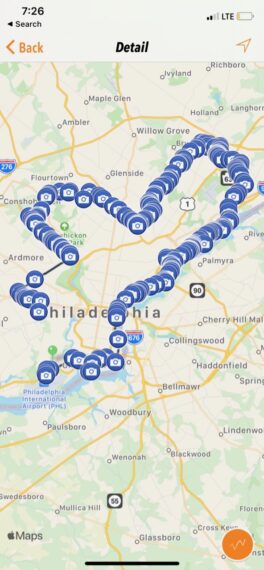
We’ve nearly made it ’round the entire city, and from here we could cut the corner of the airport since most of it is outside of the city (and you can’t quite walk across the runways…) – but for the sake of fun and adventure and making a nice round number of ten segments, next weekend we’ll walk the long way around the airport on Saturday, and complete the loop back up to 61st & Baltimore on Sunday. Join us if you’d like!
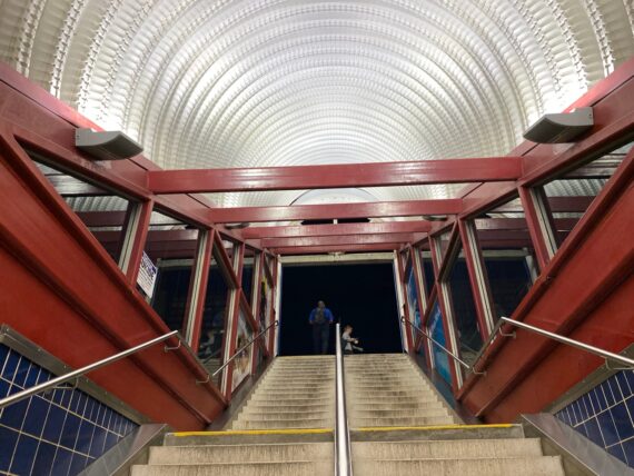
At the end of this day, I find myself pretty exhausted as I climb the steps up from the regional rail station and grab a bikeshare bike home…
… but as I approach the university campus I hear a familiar joyful sound…
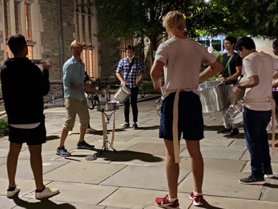
… and sure enough, it’s Michael Stevens of the Unidos da Filadelfia samba school teaching a group of Penn students some drumming. What a sweet little last surprise gift for the walk experience!
Next weekend: Segments 9 & 10 around the airport & back to where we began…
UPDATE: Recap of 4th & final weekend!